Download
Preview
Add to list
More
5.3 km
~1 hrs 23 min
198 m
Out and Back
“Experience the scenic and historical beauty of the moderately challenging 5-km Bonneville Shoreline Trail in Davis County.”
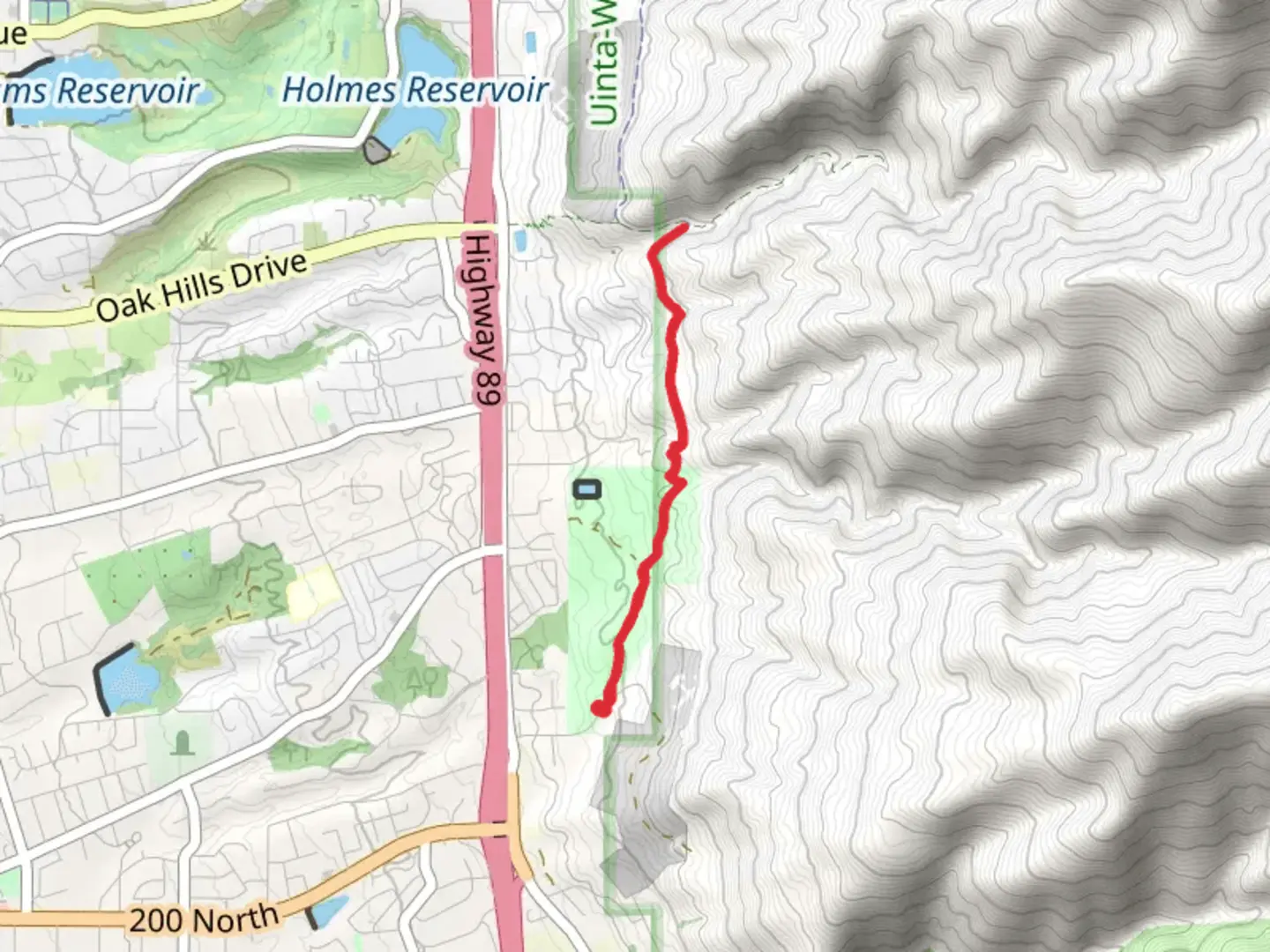
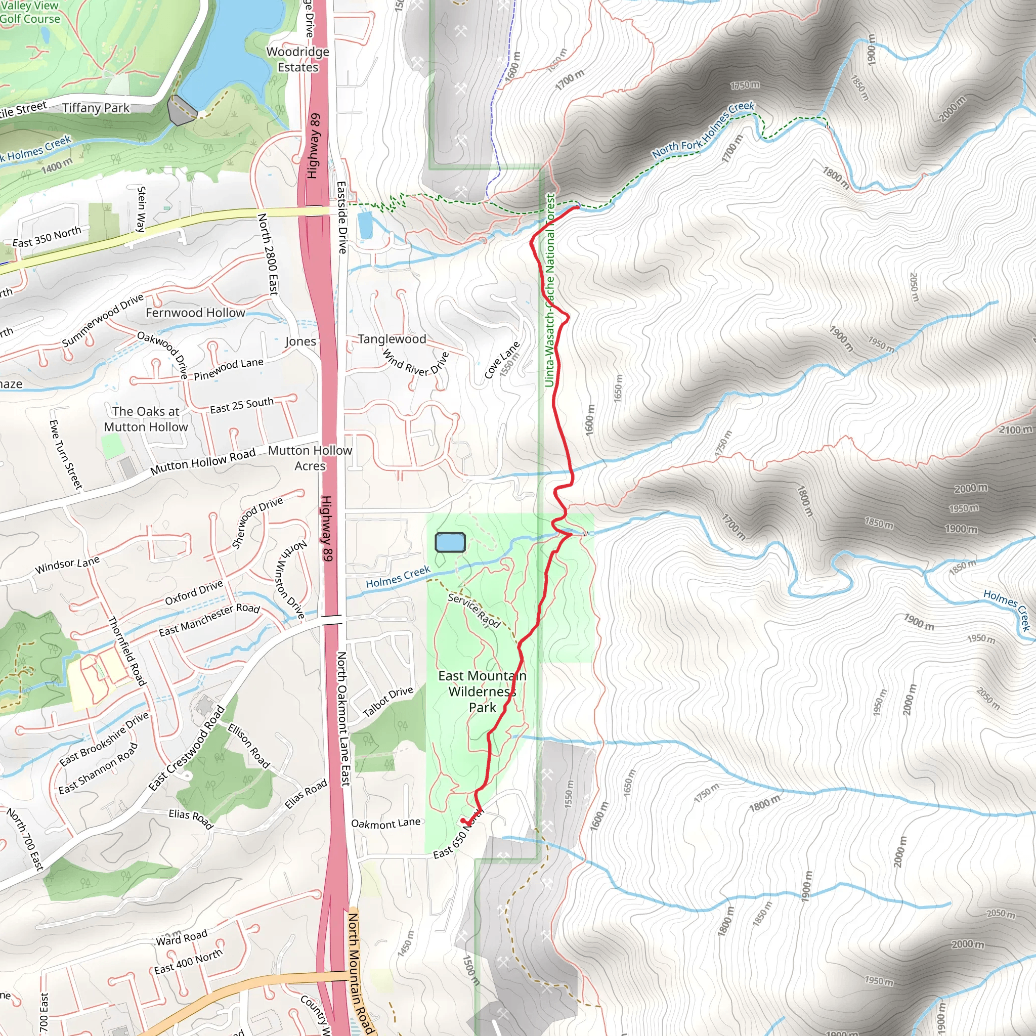
Starting near Davis County, Utah, the Bonneville Shoreline Trail from East 650 North offers a moderately challenging hike that spans approximately 5 kilometers (3.1 miles) with an elevation gain of around 100 meters (328 feet). This out-and-back trail is perfect for those looking to experience the natural beauty and historical significance of the area.### Getting There To reach the trailhead, you can drive or use public transportation. If driving, head towards East 650 North in Davis County, Utah. The nearest significant landmark is the intersection of East 650 North and North Main Street in Bountiful, Utah. For those using public transport, the Utah Transit Authority (UTA) offers bus services that can get you close to the trailhead. Check the UTA website for the latest routes and schedules.### Trail Overview The trail begins near the residential area of East 650 North and quickly transitions into a more natural setting. As you start your hike, you'll notice the gradual ascent, which makes the trail accessible for hikers of varying skill levels. The first kilometer (0.6 miles) is relatively easy, allowing you to warm up and enjoy the surrounding flora.### Historical Significance The Bonneville Shoreline Trail follows the ancient shoreline of Lake Bonneville, a prehistoric lake that once covered much of Utah. As you hike, you'll be walking along what was once the lake's edge, offering a unique glimpse into the region's geological history. Keep an eye out for interpretive signs along the trail that provide more information about Lake Bonneville and its significance.### Landmarks and Scenic Views Around the 2-kilometer (1.2-mile) mark, you'll reach a viewpoint that offers stunning vistas of the Great Salt Lake and the surrounding valleys. This is a great spot to take a break and soak in the scenery. The trail continues to wind through a mix of scrub oak and sagebrush, typical of the Utah foothills.### Wildlife and Flora The area is home to a variety of wildlife, including mule deer, rabbits, and various bird species. If you're lucky, you might spot a red-tailed hawk soaring above. The flora is equally diverse, with wildflowers blooming in the spring and early summer. Keep your eyes peeled for Indian paintbrush, lupine, and sego lilies.### Navigation and Safety For navigation, it's highly recommended to use the HiiKER app, which provides detailed maps and real-time updates. The trail is well-marked, but having a reliable navigation tool can enhance your hiking experience and ensure you stay on track.### Final Stretch As you approach the 4-kilometer (2.5-mile) mark, the trail begins to descend slightly, leading you back towards the starting point. This section offers a gentle cooldown, allowing you to reflect on the hike and enjoy the last glimpses of the beautiful landscape.### Tips for Hikers - Wear sturdy hiking boots, as the trail can be rocky in sections. - Bring plenty of water, especially during the hotter months. - Check the weather forecast before heading out, as conditions can change rapidly. - Be mindful of local wildlife and maintain a respectful distance.This trail offers a perfect blend of natural beauty, historical significance, and moderate challenge, making it a must-visit for hikers in the Davis County area.
What to expect?
Activity types
Comments and Reviews
User comments, reviews and discussions about the Bonneville Shoreline Trail from East 650 North, Utah.
4.58
average rating out of 5
19 rating(s)
