Download
Preview
Add to list
More
2.2 km
~31 min
54 m
Loop
“The Bamberger Loop Trail in Bountiful, Utah, offers a scenic, accessible hike rich in history and nature.”
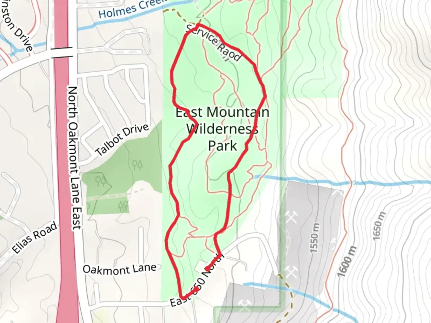
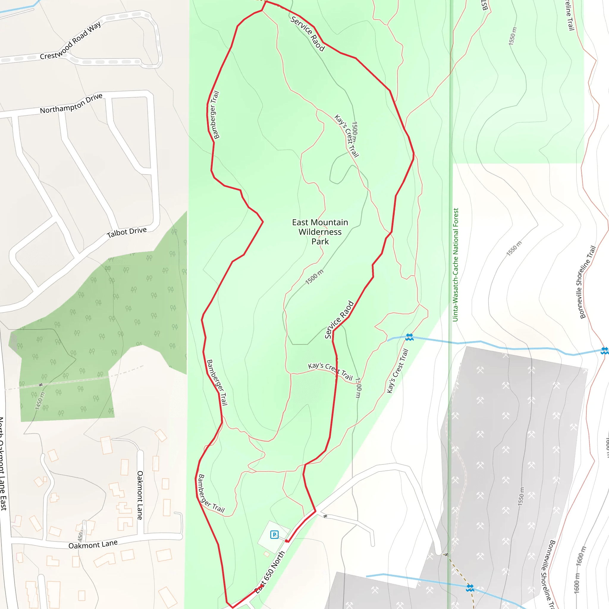
Starting near Davis County, Utah, the Bamberger Loop Trail is a delightful 2 km (1.24 miles) loop with no significant elevation gain, making it accessible for most hikers. The trailhead is conveniently located near the intersection of 200 W and 400 N in Bountiful, Utah. If you're driving, there's ample parking available at the nearby Bountiful City Park. For those using public transport, the UTA bus service has stops close to the park, making it easy to reach the trailhead.### Trail OverviewThe Bamberger Loop Trail is rated as medium difficulty, primarily due to its varied terrain rather than elevation changes. The path is well-marked and maintained, making navigation straightforward. For those who prefer digital navigation tools, the HiiKER app provides an excellent resource for real-time trail information and maps.### Flora and FaunaAs you embark on the trail, you'll be greeted by a diverse array of plant life. The area is home to native Utah flora, including sagebrush, juniper, and various wildflowers that bloom seasonally. Keep an eye out for local wildlife such as mule deer, rabbits, and a variety of bird species. The trail is particularly beautiful in the spring and fall when the foliage is most vibrant.### Significant LandmarksApproximately 0.5 km (0.31 miles) into the hike, you'll come across a charming wooden bridge that spans a small creek. This is a great spot for a quick rest and some photos. Continuing along the trail, you'll encounter a series of interpretive signs that provide information about the local ecosystem and the history of the area.### Historical SignificanceThe Bamberger Loop Trail is named after Simon Bamberger, the fourth governor of Utah and a significant figure in the state's history. Bamberger was instrumental in the development of the region's infrastructure, including the Bamberger Railroad, which once connected Salt Lake City to Ogden. While the railroad no longer exists, its legacy is commemorated along the trail with historical markers and information plaques.### Trail NavigationThe loop is well-marked with trail signs at key junctions, but it's always a good idea to have a reliable navigation tool. The HiiKER app can provide real-time updates and ensure you stay on the correct path. The trail is mostly flat, with a few gentle inclines and declines, making it suitable for families and casual hikers.### Final StretchAs you near the end of the loop, you'll pass through a shaded grove of cottonwood trees, offering a cool respite on warmer days. The final stretch of the trail brings you back to the starting point near Bountiful City Park, where you can relax and enjoy the park's amenities, including picnic areas and playgrounds.Whether you're a local or just visiting, the Bamberger Loop Trail offers a pleasant and informative hike through a historically rich and ecologically diverse area.
What to expect?
Activity types
Comments and Reviews
User comments, reviews and discussions about the Bamberger Loop Trail, Utah.
4.38
average rating out of 5
13 rating(s)
