Download
Preview
Add to list
More
16.2 km
~4 hrs 36 min
822 m
Point-to-Point
“This 10-mile scenic trail near Price, Utah, combines historical landmarks, diverse wildlife, and panoramic views.”
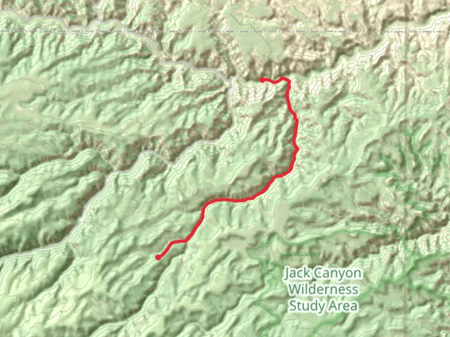
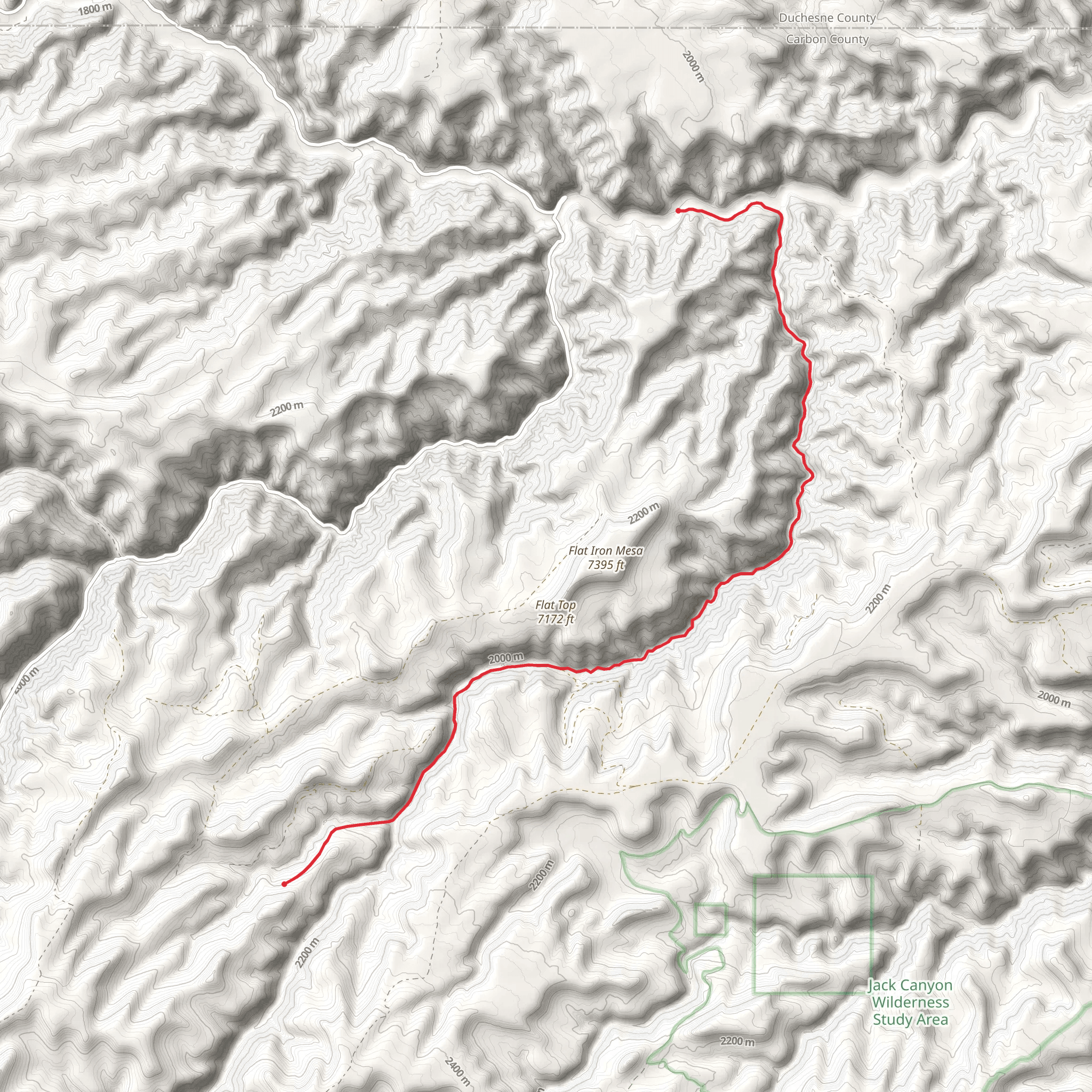
Starting near Carbon County, Utah, this 16 km (10 miles) point-to-point trail offers a moderate challenge with an elevation gain of approximately 800 meters (2,625 feet). To reach the trailhead, you can drive or use public transport to the nearest significant landmark, which is the town of Price, Utah. From Price, head southeast on US-6 E for about 20 miles until you reach the turnoff for Cottonwood Canyon Road.
Trail Overview
The trail begins with a gentle ascent through a landscape characterized by rugged terrain and sparse vegetation. Early on, you'll encounter a series of switchbacks that help you gain elevation steadily. The first 3 km (1.9 miles) will take you through a mix of juniper and pinyon pine trees, providing some shade and a break from the sun.
Significant Landmarks
At around the 5 km (3.1 miles) mark, you'll come across an old mining cabin, a relic from the late 19th century when the area was bustling with mining activity. This cabin offers a great spot for a short break and some exploration. The trail continues to climb, and as you reach the 8 km (5 miles) point, you'll be treated to panoramic views of the surrounding canyons and mesas.
Flora and Fauna
The trail is home to a variety of wildlife, including mule deer, coyotes, and a range of bird species such as hawks and eagles. Keep an eye out for these creatures, especially in the early morning or late afternoon. The flora changes as you ascend, with the lower elevations dominated by sagebrush and the higher elevations featuring more diverse plant life, including wildflowers in the spring and summer months.
Navigation and Safety
Given the moderate difficulty of the trail, it's advisable to use a reliable navigation tool like HiiKER to keep track of your progress and ensure you stay on the correct path. The trail is well-marked, but having a digital map can be invaluable, especially in areas where the path may become less distinct.
Historical Significance
The region has a rich history, with evidence of Native American habitation dating back thousands of years. Petroglyphs and other archaeological sites can be found in the area, though they are not directly on the trail. The mining cabin you encounter is a testament to the more recent history of the late 1800s, when the area saw a surge in mining activity.
Final Stretch
As you approach the final 3 km (1.9 miles) of the trail, the path begins to descend gradually. This section offers a mix of open terrain and shaded areas, making for a pleasant end to your hike. The trail concludes near a small creek, providing a refreshing spot to cool down before heading back.
Getting Back
If you’ve arranged for a car shuttle, your vehicle should be waiting at the end of the trail. Alternatively, you can hike back to the starting point, making it a round trip of 32 km (20 miles). Public transport options are limited in this remote area, so planning your return in advance is crucial.
What to expect?
Activity types
Comments and Reviews
User comments, reviews and discussions about the Cottonwood Canyon Road, Utah.
4.67
average rating out of 5
9 rating(s)
