Download
Preview
Add to list
More
Trail length
31.9 km
Time
~1 day 4 hrs
Elevation Gain
1677 m
Hike Type
Out and Back
“Explore Tony Grove Lake via Mount Naomi NRT's 32 km scenic trail, featuring diverse wildlife and panoramic views.”
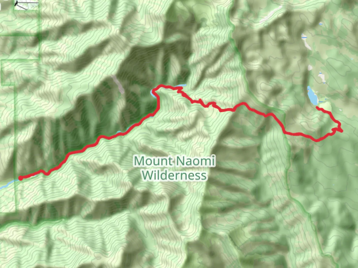
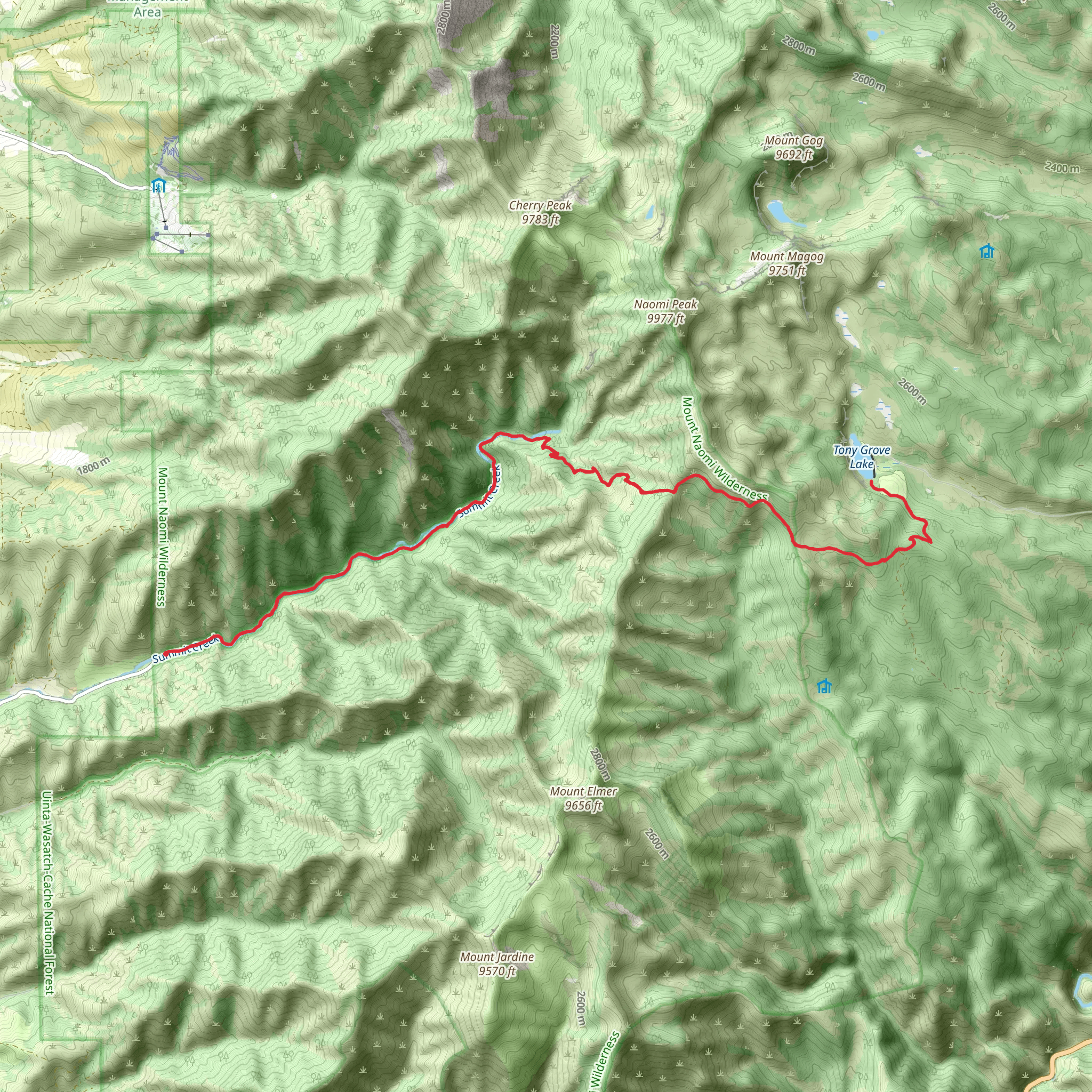
Starting near Cache County, Utah, the Tony Grove Lake via Mount Naomi NRT is an out-and-back trail that spans approximately 32 kilometers (20 miles) with an elevation gain of around 1600 meters (5250 feet). This trail is rated as medium difficulty, making it suitable for hikers with a moderate level of experience and fitness.
Getting There To reach the trailhead, you can drive or use public transport. If driving, head towards Tony Grove Lake, which is accessible via Tony Grove Road off US-89. The nearest significant landmark is the Tony Grove Campground. For those using public transport, the nearest major city is Logan, Utah. From Logan, you can take a bus or shuttle service to the Tony Grove area, though services may be limited, so it's advisable to check schedules in advance.
Trail Overview The trail begins at the Tony Grove Lake parking area, situated at an elevation of about 2440 meters (8000 feet). The initial section of the trail meanders through lush meadows and dense forests, offering a relatively gentle ascent. As you progress, you'll encounter a variety of wildflowers, especially in late spring and early summer. Keep an eye out for columbine, lupine, and Indian paintbrush.
Significant Landmarks and Sections - **Tony Grove Lake (0 km / 0 miles):** The trailhead starts here, a picturesque alpine lake surrounded by wildflowers and towering pines. It's a popular spot for picnicking and fishing. - **White Pine Lake Junction (4.8 km / 3 miles):** At this junction, you can take a short detour to White Pine Lake, a serene spot perfect for a quick rest. - **Naomi Peak (12.8 km / 8 miles):** The highest point in the Bear River Range, Naomi Peak stands at 3040 meters (9977 feet). The climb to the peak is steep but rewarding, offering panoramic views of the surrounding valleys and mountains. This section is the most challenging part of the hike, with significant elevation gain. - **Mount Naomi Wilderness (16 km / 10 miles):** As you approach the halfway point, you'll enter the Mount Naomi Wilderness area. This section is characterized by rugged terrain and fewer marked trails, so it's essential to have a reliable navigation tool like HiiKER.
Wildlife and Nature The trail is home to a diverse range of wildlife. You might spot mule deer, moose, and various bird species such as hawks and eagles. Smaller mammals like marmots and pikas are also common. The flora varies with elevation, transitioning from dense pine forests to alpine meadows and rocky outcrops.
Historical Significance The region has a rich history, with the Bear River Range being a significant area for Native American tribes, particularly the Shoshone. The trails in this area were used for hunting and gathering long before they became popular hiking routes. The name "Naomi" is believed to be derived from a biblical reference, reflecting the early settlers' influence in the region.
Final Stretch On your return journey, you'll retrace your steps back to Tony Grove Lake. The descent offers a different perspective of the landscape, with opportunities to spot wildlife you might have missed on the way up. The entire hike can take anywhere from 8 to 12 hours, depending on your pace and the time spent at various landmarks.
Preparation Tips Given the elevation and length of the trail, it's crucial to be well-prepared. Carry sufficient water, snacks, and layers of clothing to adapt to changing weather conditions. A map and a reliable navigation tool like HiiKER are essential for staying on track, especially in the more remote sections of the trail.
What to expect?
dog-friendly
forest
lakes
rivers
scenic-views
wildflowers
wildlife
Activity types
backpacking
birding
hiking
horseback-riding
Comments and Reviews
User comments, reviews and discussions about the Tony Grove Lake via Mount Naomi NRT, Utah.
4.55
average rating out of 5
11 rating(s)
