Download
Preview
Add to list
More
16.8 km
~4 hrs 21 min
603 m
Out and Back
“"Stump Hollow Trail: A 17 km hike blending natural beauty, historical intrigue, and moderate challenge for adventurers."”
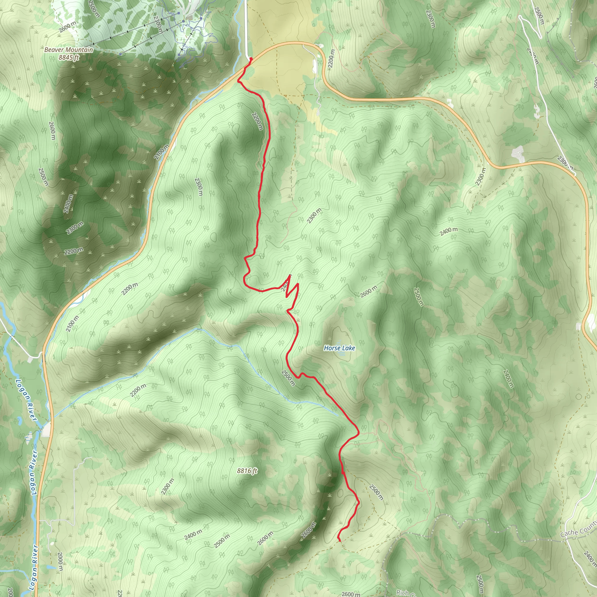
Starting near Cache County, Utah, the Stump Hollow Trail offers a rewarding out-and-back hike that spans approximately 17 kilometers (10.5 miles) with an elevation gain of around 600 meters (1,970 feet). This medium-difficulty trail is perfect for those looking to immerse themselves in the natural beauty of the region while enjoying a moderately challenging hike.### Getting There To reach the trailhead, you can drive or use public transportation. If driving, head towards Logan, Utah, and follow US-89 north until you reach the trailhead near the Beaver Mountain Ski Area. For those using public transport, the nearest significant landmark is the Beaver Mountain Ski Area, where you can arrange for a local taxi or rideshare service to drop you off at the trailhead.### Trail Overview The trail begins with a gentle ascent through a dense forest of aspen and pine trees. Early on, you'll notice the rich biodiversity, with various bird species and small mammals making their presence known. The first 3 kilometers (1.9 miles) offer a relatively easy climb, gaining about 150 meters (492 feet) in elevation.### Mid-Trail Highlights As you progress, the trail becomes steeper, and you'll encounter a series of switchbacks. Around the 5-kilometer (3.1-mile) mark, you'll reach a scenic overlook that provides stunning views of the Bear River Range. This is an excellent spot to take a break and enjoy the panoramic vistas.Continuing onward, the trail levels out somewhat, leading you through meadows filled with wildflowers during the spring and summer months. Keep an eye out for mule deer and the occasional moose, which are known to frequent this area.### Historical Significance The region around Stump Hollow Trail has a rich history. It was once traversed by Native American tribes and later by early settlers and trappers. The trail itself was used as a logging route in the late 19th and early 20th centuries, which is how it got its name. Remnants of old logging camps can still be found along the trail, adding a historical dimension to your hike.### Final Stretch The last 3 kilometers (1.9 miles) of the trail involve a steady climb to the turnaround point, where you'll be rewarded with expansive views of the surrounding valleys and peaks. This section gains about 200 meters (656 feet) in elevation, making it the most challenging part of the hike.### Navigation and Safety Given the trail's moderate difficulty and varying terrain, it's advisable to use a reliable navigation tool like HiiKER to stay on track. The trail is well-marked, but having a digital map can be invaluable, especially in areas where the path may be less distinct.### Wildlife and Flora Throughout the hike, you'll encounter a diverse range of flora and fauna. The lower elevations are dominated by aspen and pine, while higher elevations feature subalpine fir and spruce. Wildlife sightings can include everything from chipmunks and squirrels to larger mammals like deer and moose. Birdwatchers will also find plenty to enjoy, with species like the mountain bluebird and Clark's nutcracker commonly seen.### Preparation Tips Given the trail's length and elevation gain, it's essential to come prepared. Wear sturdy hiking boots, bring plenty of water, and pack snacks or a light meal. Weather can change rapidly in this region, so layers are recommended. Always check the weather forecast before heading out and let someone know your plans.The Stump Hollow Trail offers a blend of natural beauty, historical intrigue, and moderate physical challenge, making it a must-visit for hikers in the Cache County area.
What to expect?
Activity types
Comments and Reviews
User comments, reviews and discussions about the Stump Hollow Trail, Utah.
4.55
average rating out of 5
11 rating(s)
