Download
Preview
Add to list
More
13.8 km
~4 hrs 36 min
1119 m
Out and Back
“The Smithfield Dry Trail offers a rewarding 14-kilometer hike with stunning views, historical landmarks, and diverse wildlife.”
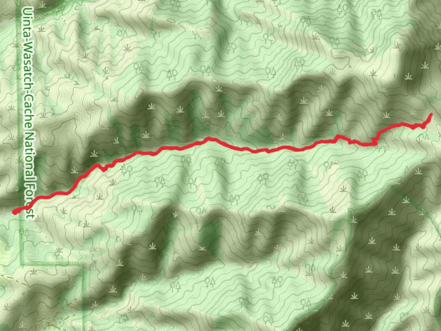
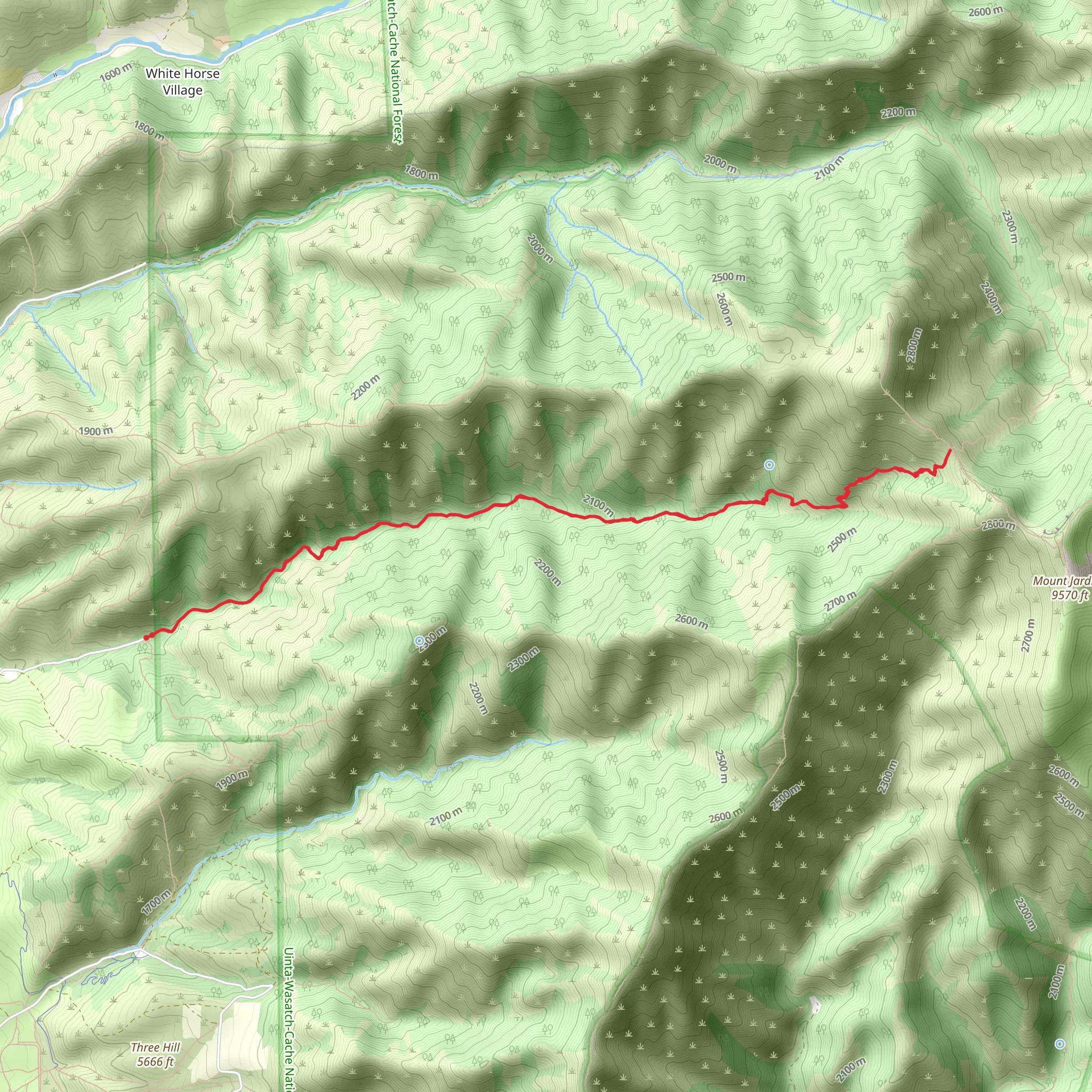
Starting near Cache County, Utah, the Smithfield Dry Trail is an invigorating out-and-back hike that stretches approximately 14 kilometers (around 8.7 miles) with an elevation gain of about 1100 meters (3609 feet). This trail is rated as medium difficulty, making it suitable for moderately experienced hikers looking for a rewarding challenge.### Getting There To reach the trailhead, you can drive or use public transportation. If driving, head towards Smithfield, Utah, and follow signs to the trailhead near the Cache County area. For those using public transport, the nearest significant landmark is the Smithfield City Office, located at 96 S Main St, Smithfield, UT 84335. From there, you may need to arrange a taxi or rideshare to the trailhead.### Trail Overview The trail begins with a gentle ascent through a mixed forest of pine and aspen trees. Early on, you’ll encounter a series of switchbacks that help you gain elevation steadily. After about 2 kilometers (1.2 miles), you’ll reach a small clearing that offers your first panoramic view of the Cache Valley below. This is a great spot to take a short break and hydrate.### Significant Landmarks and Nature As you continue, the trail becomes steeper and rockier. Around the 5-kilometer (3.1-mile) mark, you’ll come across an old mining cabin, a relic from the late 19th century when the area was briefly mined for silver. This cabin is a fascinating historical landmark and a reminder of the region's rich history.Further along, at approximately 7 kilometers (4.3 miles), you’ll reach the highest point of the trail. Here, the elevation gain is most noticeable, and the views are absolutely stunning. On a clear day, you can see the Bear River Range to the north and the Wellsville Mountains to the west. This is the perfect spot for a longer rest and some photography.### Wildlife and Flora The Smithfield Dry Trail is home to a variety of wildlife. Keep an eye out for mule deer, elk, and occasionally black bears. Birdwatchers will also enjoy spotting species like the mountain bluebird and the red-tailed hawk. The flora changes with elevation; lower sections are dominated by sagebrush and wildflowers, while higher elevations feature dense forests of Douglas fir and subalpine fir.### Navigation and Safety Given the trail's moderate difficulty and significant elevation gain, it’s essential to come prepared. Use the HiiKER app for navigation to ensure you stay on the correct path, especially in areas where the trail may become less distinct. Always carry enough water, snacks, and a first-aid kit. Weather can change rapidly in the mountains, so bring layers and be prepared for sudden temperature drops.### Return Journey The return journey follows the same path back to the trailhead. While descending, take care on the steeper sections to avoid slipping. The descent offers a different perspective on the landscape, so take your time to enjoy the views and perhaps spot some wildlife you missed on the way up.This trail offers a blend of natural beauty, historical interest, and physical challenge, making it a rewarding experience for those who undertake it.
What to expect?
Activity types
Comments and Reviews
User comments, reviews and discussions about the Smithfield Dry Trail, Utah.
4.29
average rating out of 5
21 rating(s)
