Download
Preview
Add to list
More
20.4 km
~1 day 1 hrs
1190 m
Out and Back
“Smithfield Canyon Trail offers stunning natural beauty, rich history, and diverse wildlife for moderately experienced hikers.”
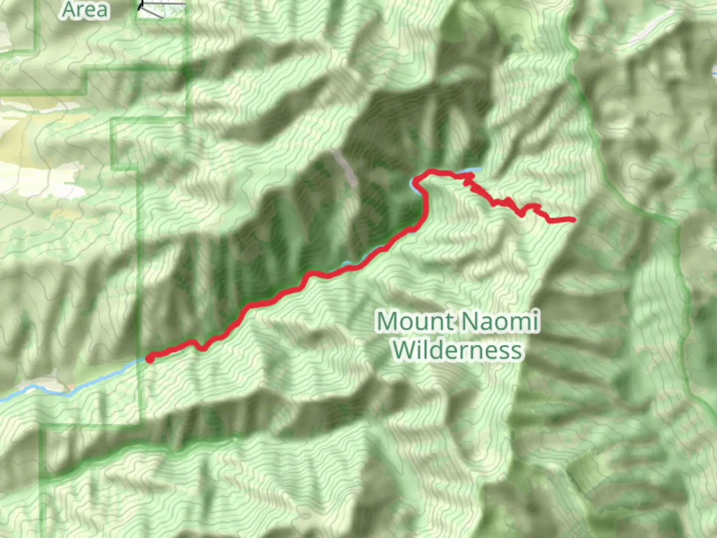
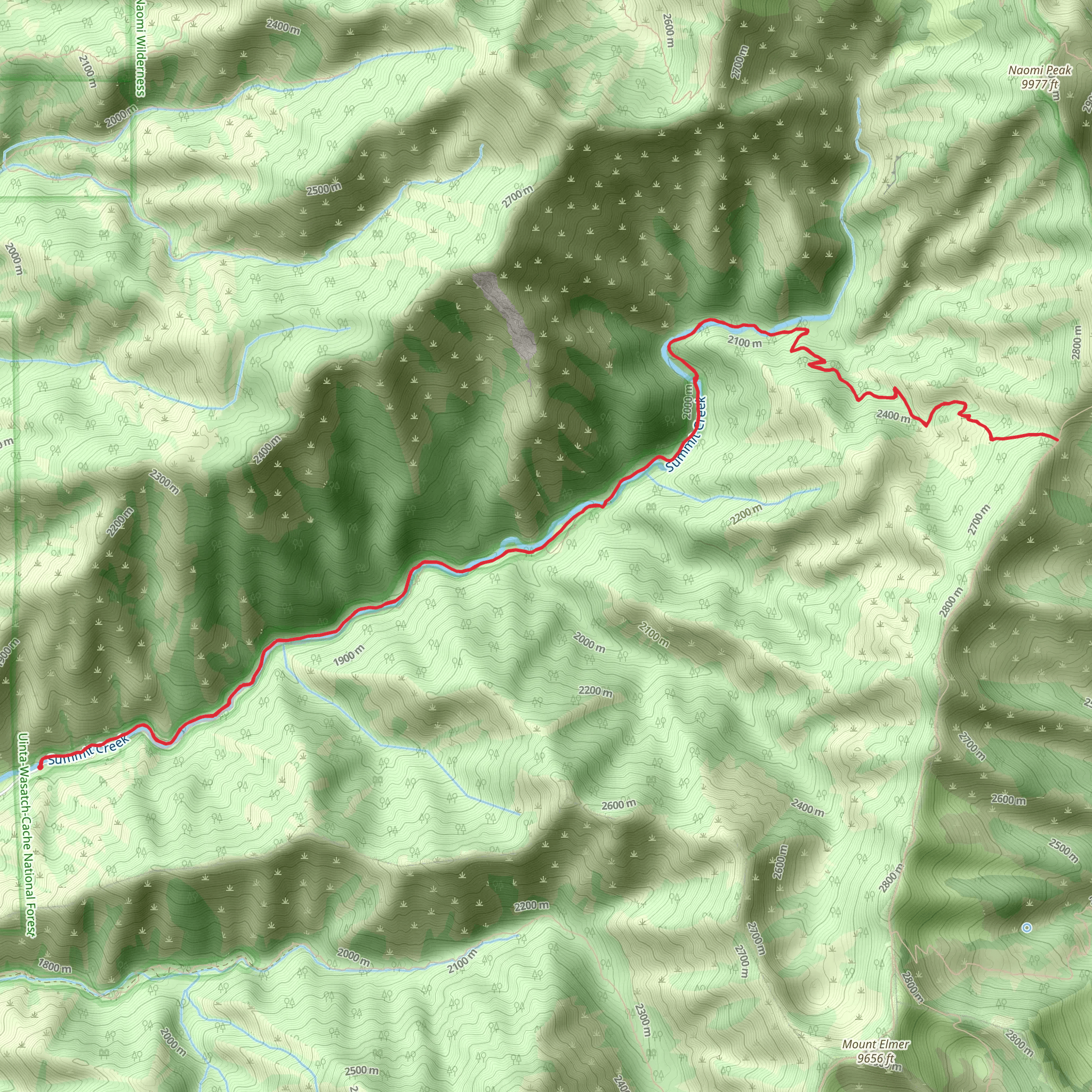
Smithfield Canyon Trail is a captivating 20 km (12.4 miles) out-and-back trail located near Cache County, Utah. With an elevation gain of approximately 1100 meters (3609 feet), this trail is rated as medium difficulty, making it suitable for moderately experienced hikers.### Getting There To reach the trailhead, you can drive or use public transport. If driving, head towards Smithfield, Utah, and follow Canyon Road until you reach the parking area near the trailhead. For those using public transport, the nearest significant landmark is the Smithfield City Office, located at 96 S Main St, Smithfield, UT 84335. From there, you may need to arrange a taxi or rideshare service to the trailhead.### Trail Overview The trail begins with a gentle ascent through a lush, forested area, offering a mix of pine and aspen trees. Early in the hike, you'll cross a small wooden bridge over a bubbling creek, a perfect spot for a quick photo or a moment of tranquility. The first 3 km (1.9 miles) are relatively easy, with an elevation gain of about 200 meters (656 feet).### Mid-Trail Highlights As you progress, the trail becomes steeper and more challenging. Around the 5 km (3.1 miles) mark, you'll encounter a series of switchbacks that will test your endurance. This section offers stunning views of the surrounding canyon and is a great place to take a break and hydrate. The elevation gain here is approximately 400 meters (1312 feet).### Wildlife and Flora Smithfield Canyon is home to a variety of wildlife, including deer, elk, and occasionally black bears. Birdwatchers will be delighted by the presence of hawks, eagles, and various songbirds. The flora is equally diverse, with wildflowers blooming in the spring and summer months, adding vibrant colors to the landscape.### Historical Significance The region has a rich history, with evidence of Native American habitation dating back thousands of years. Keep an eye out for petroglyphs on some of the rock faces along the trail. Additionally, the area was explored by early Mormon settlers in the mid-19th century, and remnants of old cabins and mining equipment can still be found if you know where to look.### Final Stretch The last 2 km (1.2 miles) of the trail are the most strenuous, with an elevation gain of about 300 meters (984 feet). This section takes you through a more rugged terrain, with rocky outcrops and narrow paths. The trail culminates at a breathtaking viewpoint overlooking the entire canyon, offering a panoramic view that makes the effort worthwhile.### Navigation For navigation, it's highly recommended to use the HiiKER app, which provides detailed maps and real-time updates. This will help you stay on track and ensure a safe and enjoyable hike.### Return Journey The return journey follows the same path, allowing you to revisit some of the scenic spots you passed earlier. Make sure to pace yourself and take breaks as needed, especially on the steeper sections.Smithfield Canyon Trail offers a rewarding experience for those willing to take on its challenges, with stunning natural beauty, rich history, and diverse wildlife.
What to expect?
Activity types
Comments and Reviews
User comments, reviews and discussions about the Smithfield Canyon Trail, Utah.
4.56
average rating out of 5
16 rating(s)
