Download
Preview
Add to list
More
10.1 km
~3 hrs 6 min
659 m
Out and Back
“"Naomi Peak Trail near Cache County, Utah offers a rewarding 10-kilometer hike with stunning views and rich history."”
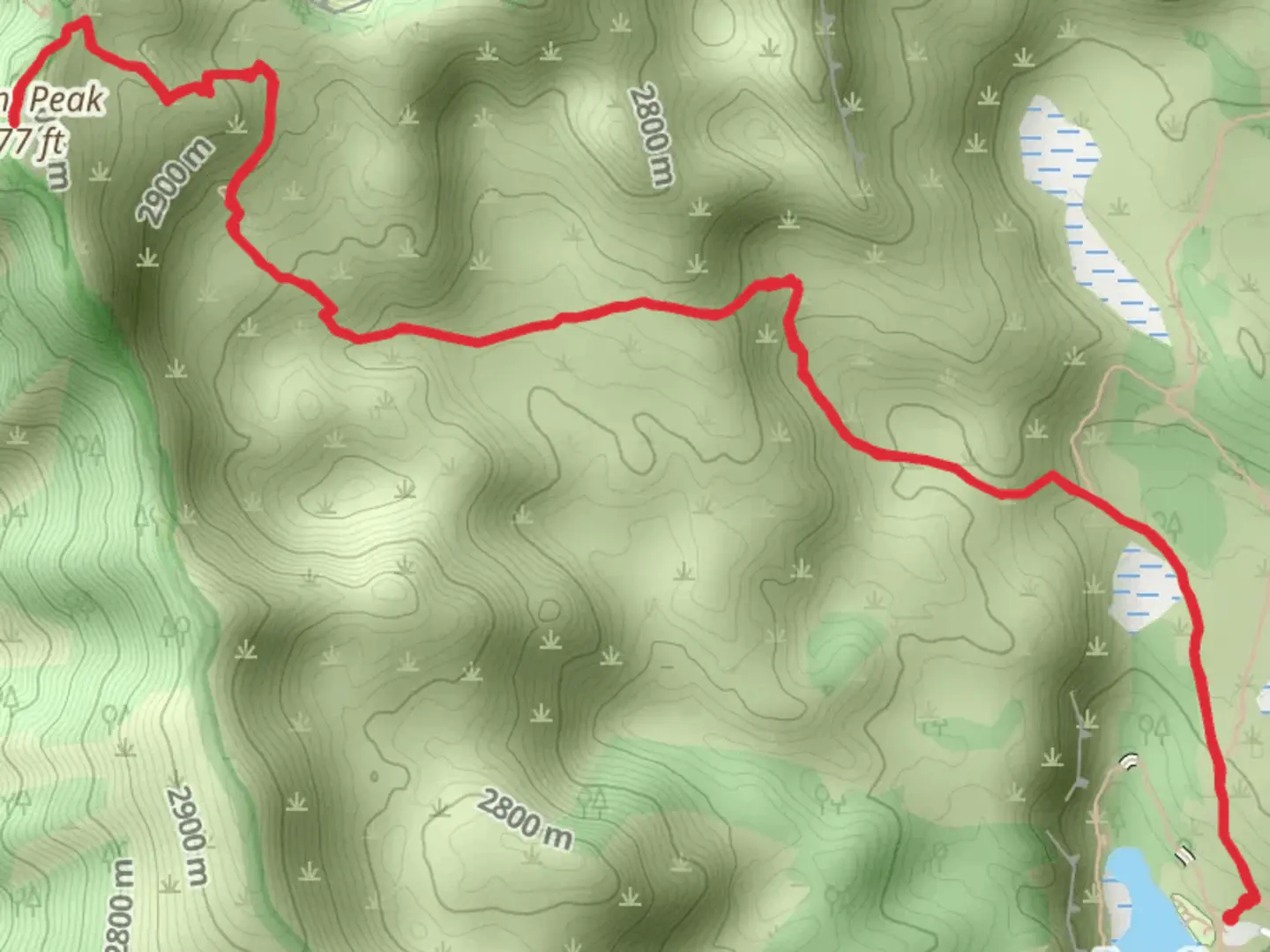
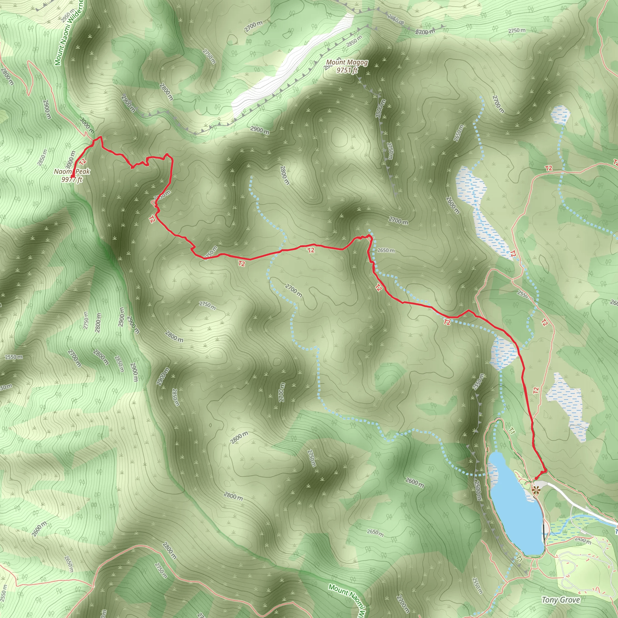
Starting your adventure near Cache County, Utah, the Naomi Peak Trail offers a rewarding out-and-back hike that spans approximately 10 kilometers (6.2 miles) with an elevation gain of around 600 meters (1,968 feet). This trail is rated as medium difficulty, making it accessible for most hikers with a moderate level of fitness.
Getting There To reach the trailhead, you can drive or use public transport. If driving, head towards Tony Grove Lake, which is a well-known landmark in the area. The trailhead is located near Tony Grove Campground, which can be accessed via Tony Grove Road off US-89. For those using public transport, the nearest major city is Logan, Utah. From Logan, you can take a local bus or taxi to Tony Grove Lake.
Trail Overview The trail begins at the Tony Grove Campground, situated at an elevation of approximately 2,440 meters (8,005 feet). The initial section of the trail meanders through lush meadows filled with wildflowers during the summer months. Keep an eye out for the vibrant colors of Indian paintbrush, lupine, and columbine.
Significant Landmarks and Nature As you ascend, you'll pass through dense forests of aspen and conifer trees. About 2 kilometers (1.2 miles) into the hike, you'll reach a scenic overlook that provides stunning views of Tony Grove Lake below. This is a great spot for a short break and some photography.
Continuing on, the trail becomes steeper and rockier. Around the 4-kilometer (2.5-mile) mark, you'll encounter a series of switchbacks that lead you up to the ridge. This section can be challenging, so take your time and stay hydrated.
Wildlife and Flora The Naomi Peak Trail is home to a variety of wildlife. You might spot mule deer, marmots, and even the occasional moose. Birdwatchers will enjoy sightings of hawks, eagles, and various songbirds. The flora changes with elevation, transitioning from wildflower meadows to alpine tundra as you approach the peak.
Reaching Naomi Peak At approximately 5 kilometers (3.1 miles) from the trailhead, you'll reach Naomi Peak, the highest point in the Bear River Range at an elevation of 3,073 meters (10,080 feet). The summit offers panoramic views of the surrounding mountains and valleys, making the effort well worth it. On a clear day, you can see as far as the Great Salt Lake.
Historical Significance The region around Naomi Peak has a rich history. It was originally inhabited by the Shoshone people, who used the area for hunting and gathering. In the late 19th century, European settlers arrived, and the area became known for its mining and logging activities. Today, it is preserved as part of the Uinta-Wasatch-Cache National Forest, offering a glimpse into both natural beauty and historical heritage.
Navigation and Safety For navigation, it's recommended to use the HiiKER app, which provides detailed maps and real-time updates. The trail is well-marked, but weather conditions can change rapidly, especially at higher elevations. Always check the weather forecast before you go and be prepared for sudden changes.
Return Journey The return journey follows the same path back to the trailhead. Descending can be easier on the lungs but harder on the knees, so use trekking poles if you have them. The total round trip will bring you back to Tony Grove Campground, completing your 10-kilometer (6.2-mile) adventure.
This trail offers a mix of natural beauty, wildlife, and historical significance, making it a must-visit for any hiking enthusiast.
What to expect?
Activity types
Comments and Reviews
User comments, reviews and discussions about the Naomi Peak Trail, Utah.
4.41
average rating out of 5
17 rating(s)
