Download
Preview
Add to list
More
10.3 km
~3 hrs 0 min
565 m
Out and Back
“Explore the Long Hollow Walk: a 10 km scenic trail blending natural beauty, wildlife, and rich history.”
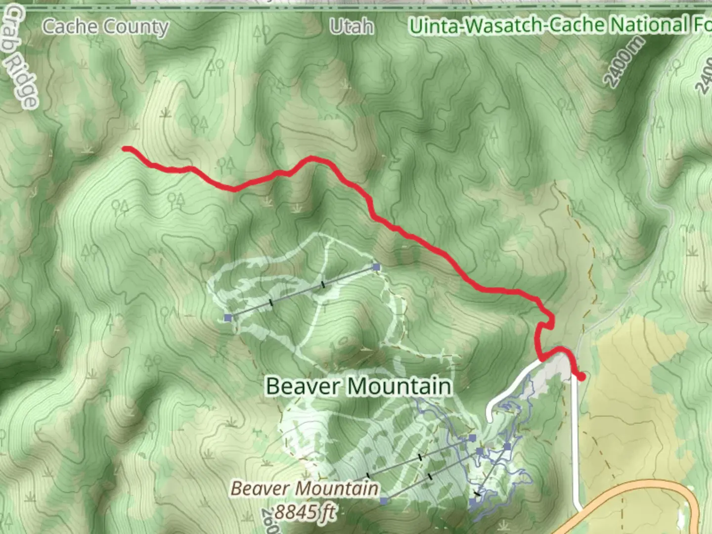
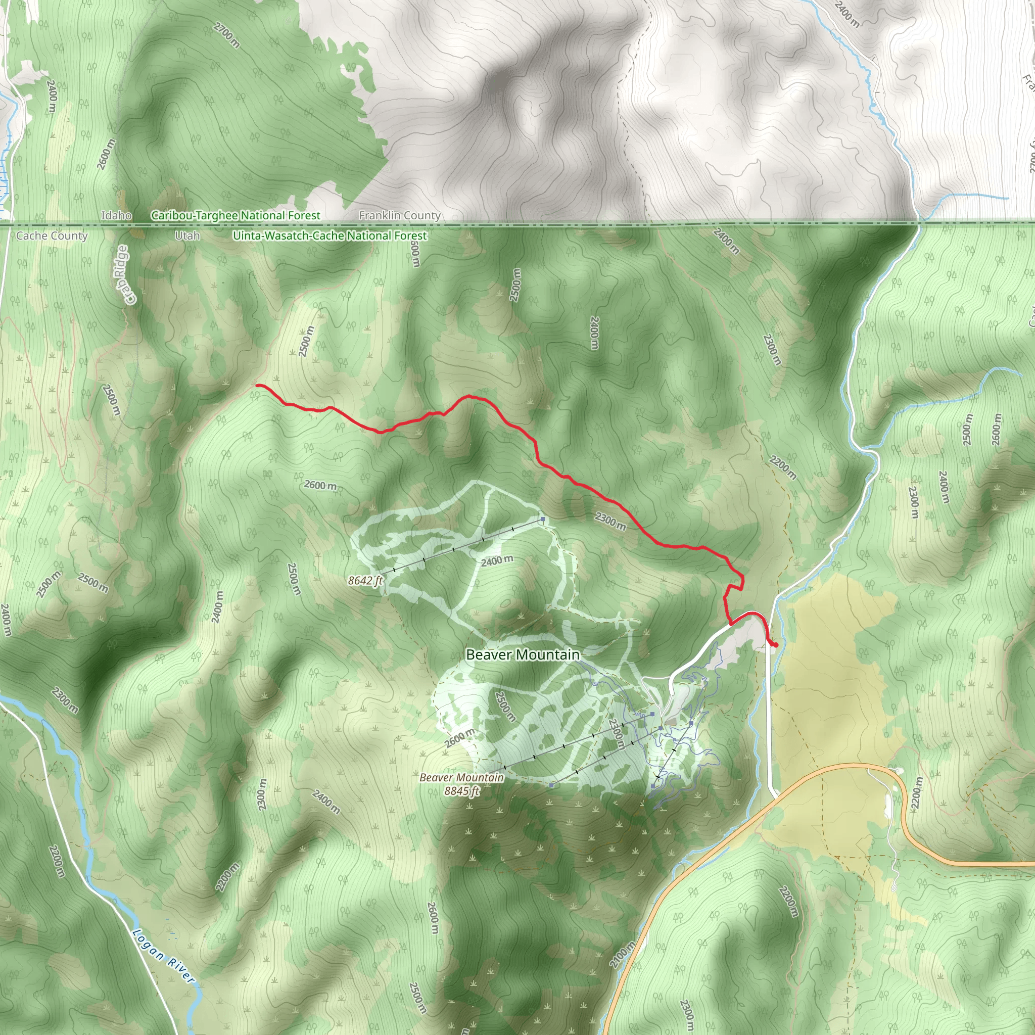
Starting near Cache County, Utah, the Long Hollow Walk is an out-and-back trail that spans approximately 10 kilometers (6.2 miles) with an elevation gain of around 500 meters (1,640 feet). This medium-difficulty trail offers a blend of natural beauty and historical significance, making it a rewarding experience for hikers of various skill levels.### Getting There To reach the trailhead, you can drive or use public transportation. If you're driving, head towards the nearest known address, which is the Cache County Visitor Center. From there, follow local signage to the trailhead. For those using public transport, the Cache Valley Transit District (CVTD) offers bus services that can get you close to the starting point. Check the CVTD schedule for the most convenient route.### Trail Overview The trail begins with a gentle ascent through a forested area, offering a mix of pine and aspen trees. The initial 2 kilometers (1.2 miles) are relatively easy, with an elevation gain of about 100 meters (328 feet). This section is perfect for warming up and getting accustomed to the terrain.### Significant Landmarks and Nature As you progress, you'll encounter a small, serene creek around the 3-kilometer (1.9-mile) mark. This is a great spot to take a short break and enjoy the sound of flowing water. The trail then starts to climb more steeply, gaining another 200 meters (656 feet) in elevation over the next 2 kilometers (1.2 miles). Keep an eye out for local wildlife such as deer, elk, and various bird species. The area is also known for its vibrant wildflowers during the spring and summer months.### Historical Significance Around the 5-kilometer (3.1-mile) point, you'll reach a plateau that offers stunning views of the surrounding valleys and mountains. This area holds historical significance as it was once a route used by early settlers and Native American tribes. Informational plaques along the trail provide insights into the history and culture of the region, making it a great educational experience as well.### Navigation and Safety Given the moderate difficulty of the trail, it's advisable to use a reliable navigation tool like HiiKER to keep track of your progress and ensure you stay on the right path. The trail is well-marked, but having a digital map can be very helpful, especially in areas where the path may be less clear.### Final Stretch The final 3 kilometers (1.9 miles) of the trail involve a descent back to the trailhead. This section can be a bit challenging due to loose rocks and steeper declines, so take your time and watch your footing. The descent offers a different perspective of the landscape, allowing you to appreciate the diverse flora and fauna from a new angle.### Preparation Tips Given the elevation gain and the length of the trail, it's essential to bring plenty of water, snacks, and appropriate clothing. Weather can change rapidly in this region, so layers are recommended. Good hiking boots are a must to navigate the varied terrain comfortably.By following these guidelines and being well-prepared, you'll be able to fully enjoy the Long Hollow Walk and all the natural and historical wonders it has to offer.
What to expect?
Activity types
Comments and Reviews
User comments, reviews and discussions about the Long Hollow Walk, Utah.
4.33
average rating out of 5
6 rating(s)
