Download
Preview
Add to list
More
19.0 km
~1 day 1 hrs
1489 m
Out and Back
“Embark on the invigorating Logan Peak hike for diverse landscapes, rich history, and stunning summit views.”
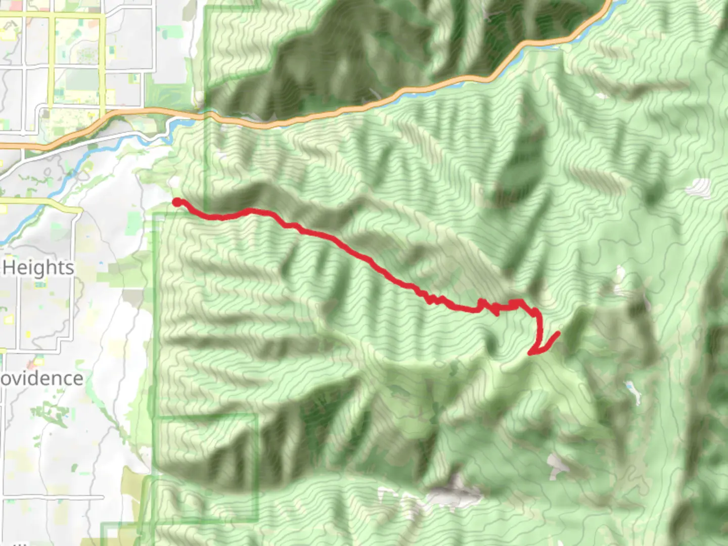
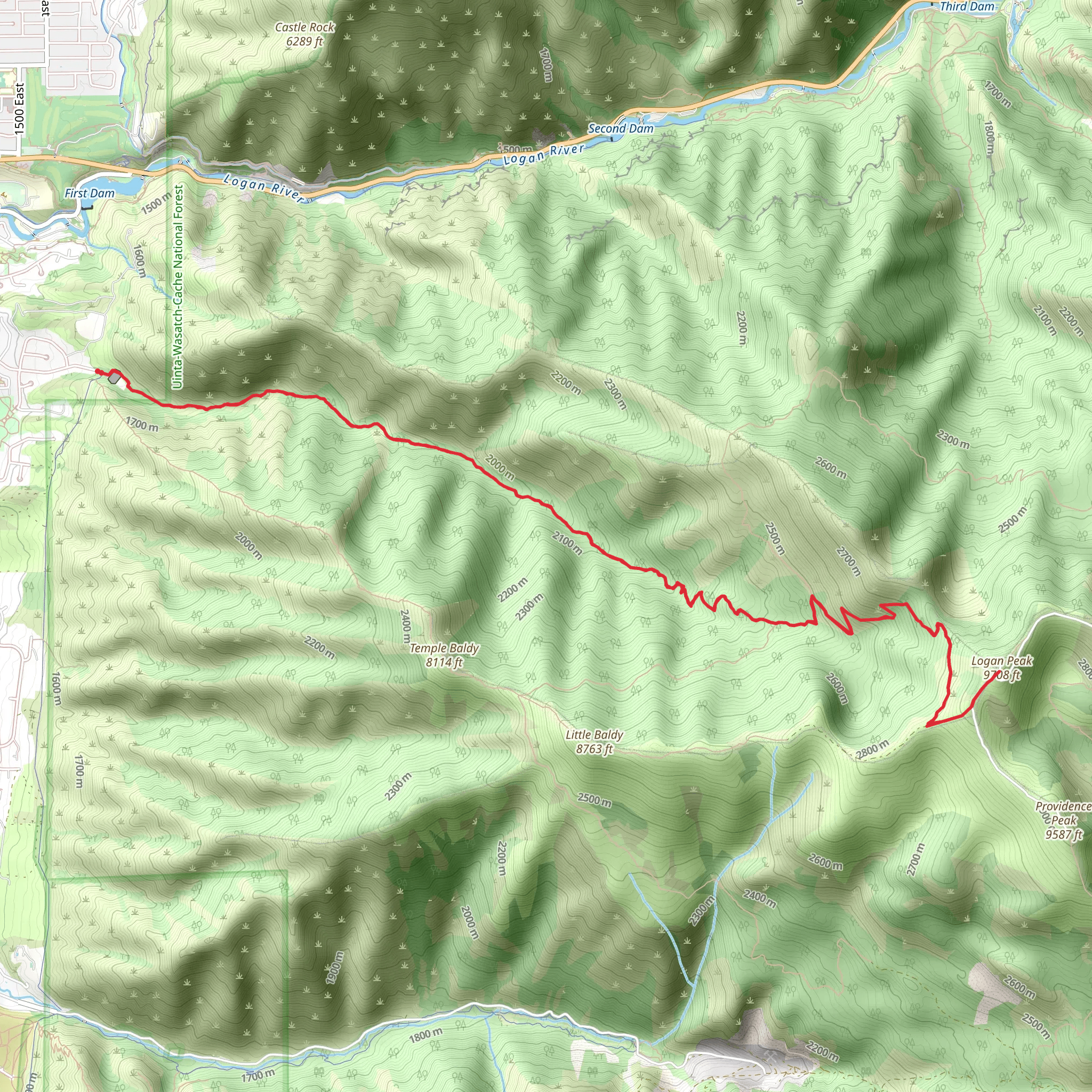
Starting near Cache County, Utah, the Logan Peak via Logan Dry Canyon Trail is an invigorating out-and-back hike that spans approximately 19 kilometers (around 12 miles) with an elevation gain of about 1400 meters (4600 feet). This trail is rated as medium difficulty, making it suitable for hikers with a moderate level of experience and fitness.### Getting There To reach the trailhead, you can drive or use public transport. If driving, head towards the nearest significant landmark, which is the Utah State University in Logan, Utah. From there, navigate towards the Dry Canyon Trailhead located near the end of Canyon Road. Public transport options include local bus services that connect to Logan, but you may need a taxi or rideshare service to reach the trailhead from the bus stop.### Trail Overview The trail begins with a gradual ascent through Dry Canyon, a picturesque area characterized by its rugged terrain and diverse flora. Early on, you'll encounter a mix of sagebrush and juniper trees, providing a quintessential Utah landscape. As you progress, the trail becomes steeper, and the vegetation transitions to dense forests of aspen and pine.### Significant Landmarks and Nature At approximately 3 kilometers (1.8 miles) into the hike, you'll reach a scenic overlook that offers panoramic views of Cache Valley. This is a great spot for a short break and some photography. Continuing onward, the trail becomes more challenging, with switchbacks that help manage the steep elevation gain.Around the 8-kilometer (5-mile) mark, you'll encounter a small, serene meadow. This area is often frequented by local wildlife, including deer and various bird species. Keep an eye out for wildflowers in the spring and early summer, which add vibrant colors to the landscape.### Historical Significance The region around Logan Peak has a rich history. The Cache Valley was originally inhabited by the Shoshone people, and later became a significant area for fur trappers and settlers in the 19th century. The name "Cache" comes from the practice of trappers hiding their goods in the valley.### Final Ascent The final push to Logan Peak is the most strenuous part of the hike. The trail narrows and becomes rockier, requiring careful footing. As you approach the summit, the tree line thins out, offering unobstructed views of the surrounding mountains and valleys.### Summit Experience Reaching Logan Peak, at an elevation of 2970 meters (9744 feet), rewards you with breathtaking 360-degree views. On a clear day, you can see as far as the Great Salt Lake to the west and the Bear River Range to the north. This is an ideal spot to rest, have a snack, and take in the expansive scenery before beginning your descent.### Navigation and Safety Given the trail's length and elevation gain, it's crucial to be well-prepared. Use HiiKER for accurate navigation and trail details. Ensure you have plenty of water, snacks, and appropriate clothing for changing weather conditions. The trail can be quite exposed in certain sections, so sun protection is also essential.### Wildlife and Flora Throughout the hike, you'll have the opportunity to see a variety of wildlife, including mule deer, elk, and possibly even black bears. Birdwatchers will enjoy spotting species like the mountain bluebird and the golden eagle. The flora varies significantly with elevation, from sagebrush and juniper at lower levels to dense pine and aspen forests higher up.This trail offers a rewarding challenge with its diverse landscapes, rich history, and stunning summit views, making it a must-do for hikers in the Cache County area.
What to expect?
Activity types
Comments and Reviews
User comments, reviews and discussions about the Logan Peak via Logan Dry Canyon Trail, Utah.
4.63
average rating out of 5
19 rating(s)
