Download
Preview
Add to list
More
5.5 km
~1 hrs 32 min
265 m
Out and Back
“Experience natural beauty, wildlife, and history on Utah's moderately challenging 5 km Highline Trail near Tony Grove Lake.”
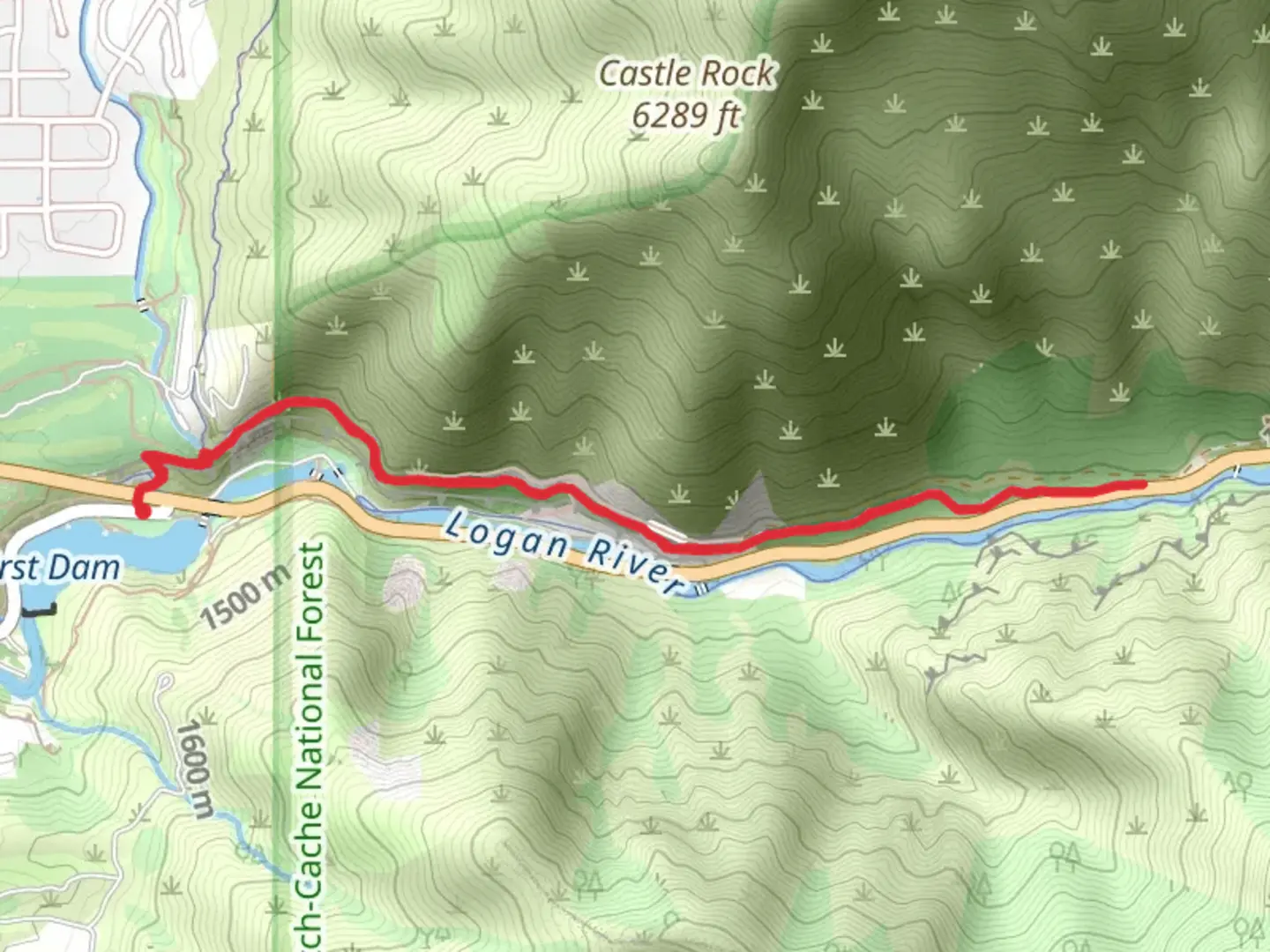
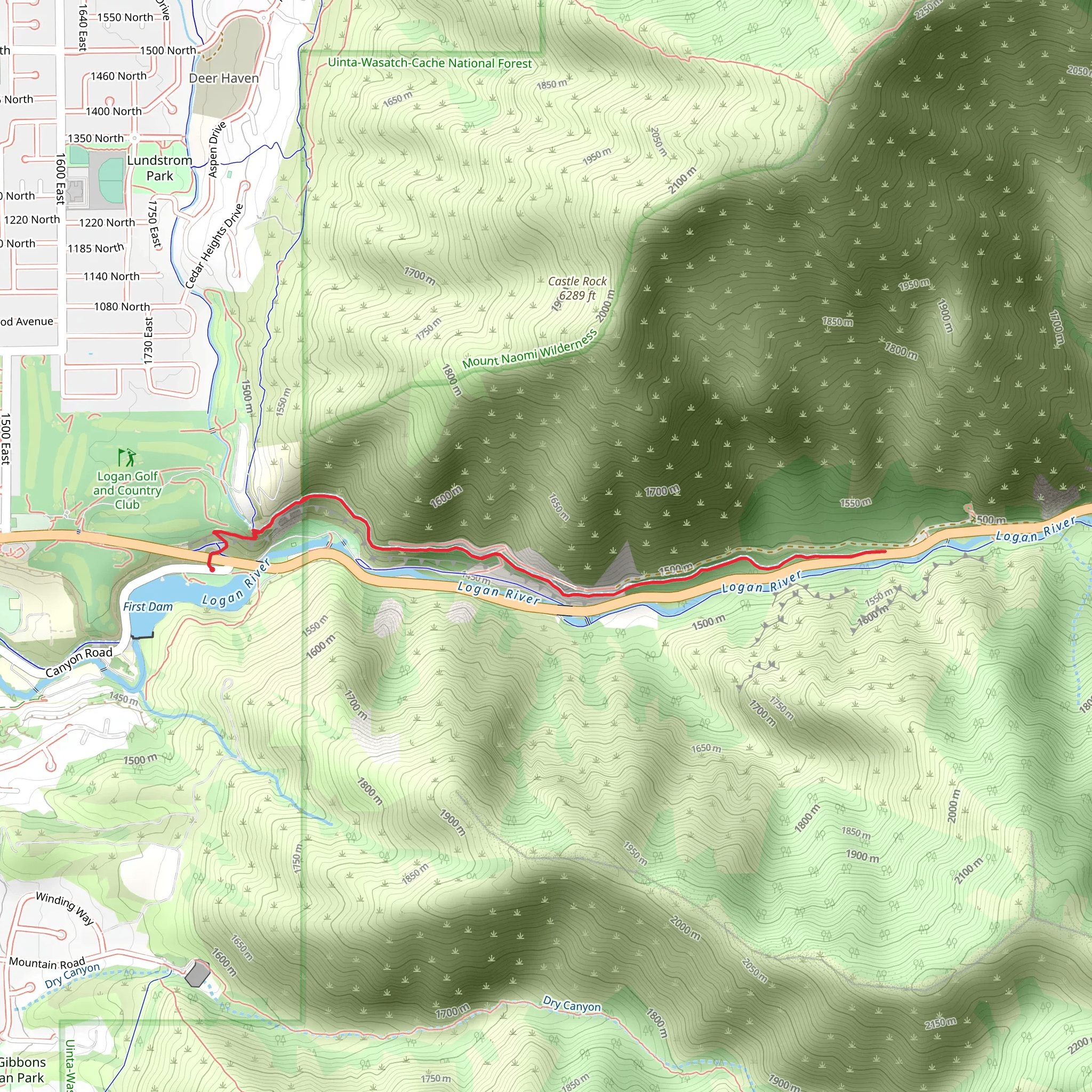
Starting near Cache County, Utah, the Highline Trail offers a moderately challenging hike with a distance of approximately 5 km (3.1 miles) and an elevation gain of around 200 meters (656 feet). This out-and-back trail is perfect for those looking to experience the natural beauty of the region without committing to a full day of hiking.### Getting There To reach the trailhead, you can drive or use public transportation. If driving, head towards Logan, Utah, and follow signs to the Cache National Forest. The nearest significant landmark is the Tony Grove Lake, which is a popular starting point for many hikes in the area. For those using public transport, the Cache Valley Transit District (CVTD) offers bus services that can get you close to the trailhead, but you may need to arrange for a taxi or rideshare for the final leg of the journey.### Trail Overview The Highline Trail begins near Tony Grove Lake, a picturesque alpine lake surrounded by wildflowers in the summer months. The trailhead is well-marked, and you’ll start your hike through a dense forest of pine and aspen trees. The initial section is relatively flat, making it a good warm-up before you start gaining elevation.### Significant Landmarks and Nature About 1 km (0.6 miles) into the hike, you’ll come across a small meadow that offers stunning views of the surrounding mountains. This is a great spot to take a short break and enjoy the scenery. As you continue, the trail starts to ascend more steeply, and you’ll gain most of your elevation in the next 2 km (1.2 miles).At around the 3 km (1.9 miles) mark, you’ll reach a viewpoint that offers panoramic views of the Bear River Range. This is one of the highlights of the hike and a perfect place for photos. Keep an eye out for local wildlife, including mule deer, elk, and various bird species. The area is also known for its diverse plant life, including wildflowers like Indian paintbrush and lupine.### Historical Significance The Cache National Forest has a rich history, with evidence of Native American habitation dating back thousands of years. The Highline Trail itself was used by early settlers and trappers in the 19th century. As you hike, you may notice remnants of old cabins and mining operations, offering a glimpse into the region’s past.### Navigation and Safety Given the moderate difficulty of the trail, it’s advisable to use a reliable navigation tool like HiiKER to keep track of your progress and ensure you stay on the correct path. The trail is generally well-maintained, but it can be rocky and uneven in places, so sturdy hiking boots are recommended. Always carry enough water, especially during the hotter months, and be prepared for sudden changes in weather.The Highline Trail is a rewarding hike that offers a mix of natural beauty, wildlife, and historical significance. Whether you’re a seasoned hiker or a beginner looking for a bit of a challenge, this trail has something for everyone.
What to expect?
Activity types
Comments and Reviews
User comments, reviews and discussions about the Highline Trail, Utah.
4.5
average rating out of 5
20 rating(s)
