Download
Preview
Add to list
More
16.8 km
~1 day 0 hrs
1015 m
Out and Back
“The High Creek Lake via Mt Naomi Peak Trail offers a scenic, moderately challenging 17 km hike with historical intrigue.”
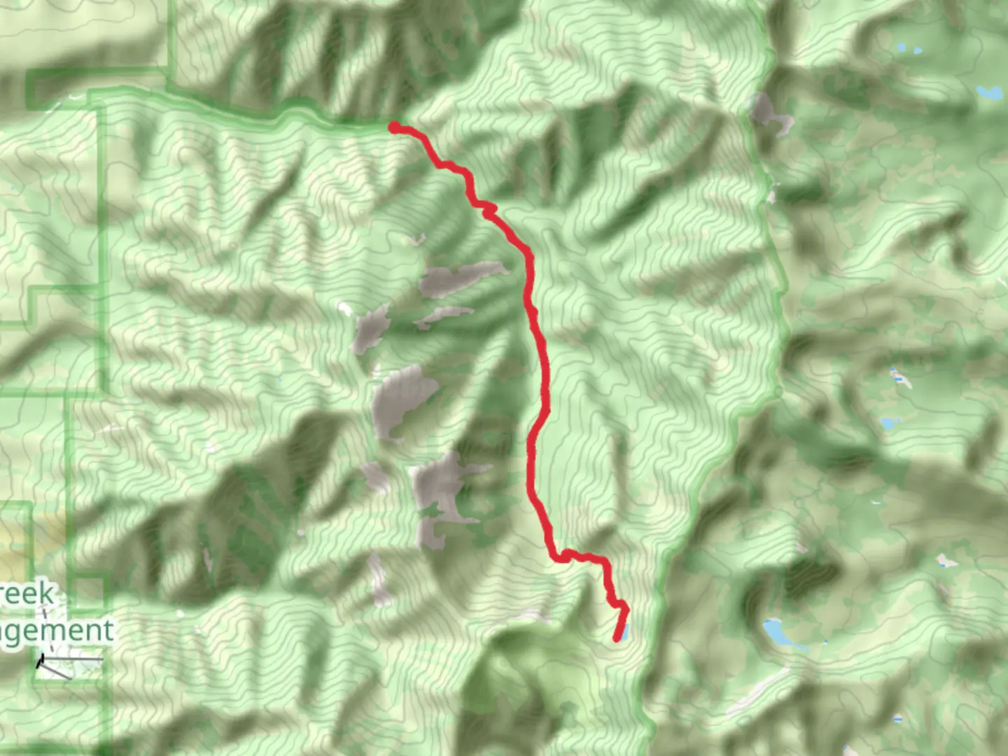
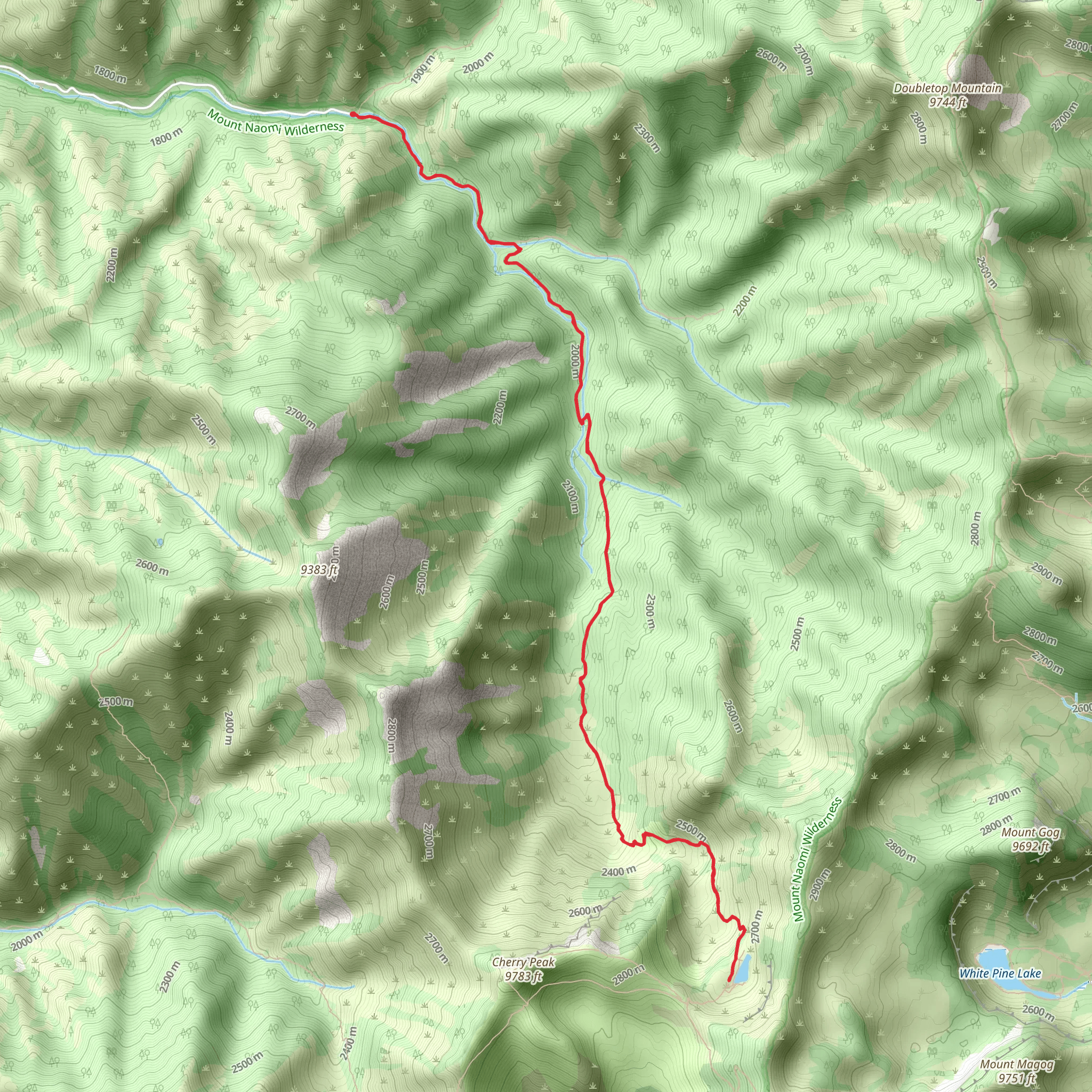
Starting your adventure near Cache County, Utah, the High Creek Lake via Mt Naomi Peak Trail offers a rewarding out-and-back journey of approximately 17 km (10.5 miles) with an elevation gain of around 1000 meters (3280 feet). This trail is rated as medium difficulty, making it suitable for moderately experienced hikers.
Getting There To reach the trailhead, you can drive or use public transport. If driving, head towards the nearest significant landmark, which is the town of Richmond, Utah. From Richmond, follow the signs to High Creek Canyon Road. The trailhead is located at the end of this road. For those using public transport, the nearest bus stop is in Richmond, from where you can arrange a taxi or rideshare to the trailhead.
Trail Overview The trail begins with a gentle ascent through lush meadows and dense forests. Early on, you'll cross High Creek, a picturesque stream that adds to the serene atmosphere. The first 3 km (1.9 miles) of the trail are relatively easy, with a gradual elevation gain of about 200 meters (656 feet).
Mid-Trail Highlights As you continue, the trail becomes steeper and more challenging. Around the 5 km (3.1 miles) mark, you'll reach a series of switchbacks that offer stunning views of the surrounding Cache National Forest. This section is particularly beautiful in late spring and early summer when wildflowers are in full bloom.
Reaching Mt Naomi Peak At approximately 8 km (5 miles), you'll reach the junction for Mt Naomi Peak. If you choose to take this detour, be prepared for a steep climb. The peak stands at 3,073 meters (10,082 feet) and offers panoramic views of the Bear River Range and beyond. This detour adds about 2 km (1.2 miles) to your hike and an additional 300 meters (984 feet) of elevation gain.
High Creek Lake Continuing on the main trail, you'll eventually arrive at High Creek Lake, nestled at an elevation of 2,743 meters (9,000 feet). The lake is a pristine alpine gem, surrounded by rugged cliffs and offering a perfect spot for a rest or picnic. The total distance to the lake is about 8.5 km (5.3 miles) from the trailhead.
Wildlife and Flora The trail is home to a variety of wildlife, including deer, elk, and occasionally black bears. Birdwatchers will also find plenty to enjoy, with species like the mountain bluebird and Clark's nutcracker frequently spotted. The flora is equally diverse, ranging from towering pines to delicate alpine flowers.
Historical Significance The region has a rich history, with evidence of Native American presence dating back thousands of years. The Bear River Range was also a significant area for early settlers and trappers in the 19th century. Keep an eye out for historical markers and plaques that provide more information about the area's past.
Navigation and Safety Given the trail's moderate difficulty, it's advisable to use a reliable navigation tool like HiiKER to keep track of your progress and ensure you stay on the correct path. Always carry sufficient water, snacks, and a first-aid kit. Weather can change rapidly in the mountains, so be prepared for sudden shifts in conditions.
This trail offers a perfect blend of natural beauty, moderate challenge, and historical intrigue, making it a must-visit for any hiking enthusiast.
What to expect?
Activity types
Comments and Reviews
User comments, reviews and discussions about the High Creek Lake via Mt Naomi Peak Trail, Utah.
4.38
average rating out of 5
16 rating(s)
