Download
Preview
Add to list
More
31.2 km
~1 day 2 hrs
785 m
Point-to-Point
“Explore Cottonwood Canyon Road's 31 km trail, offering moderate challenges, lush landscapes, and historical landmarks.”
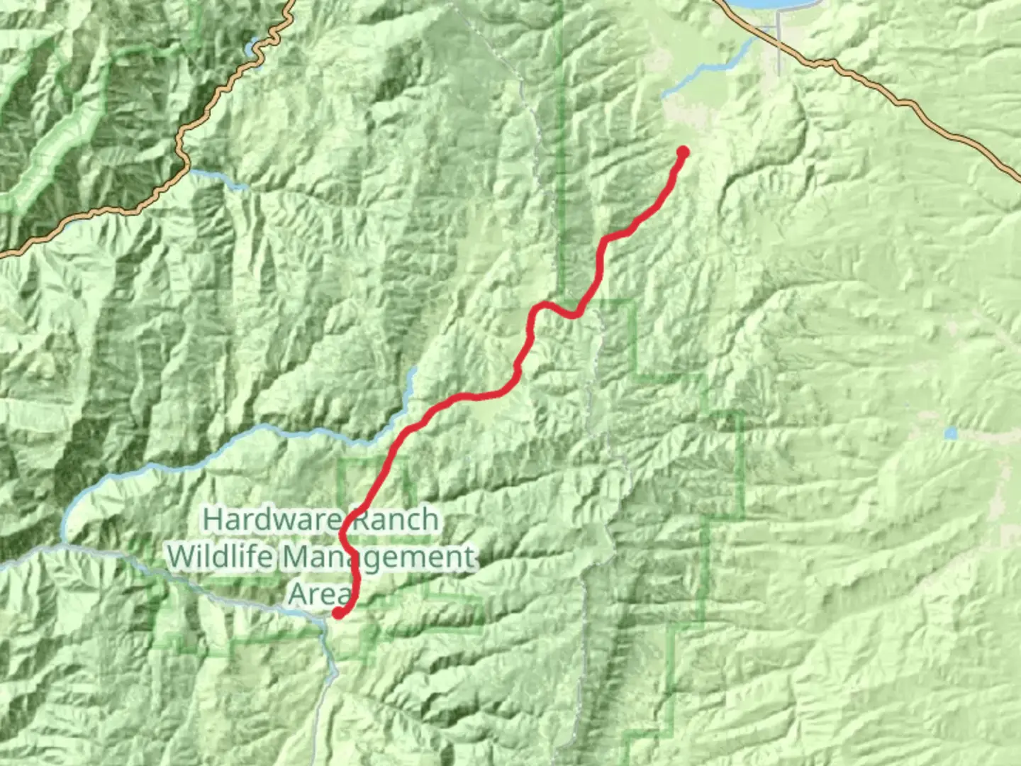
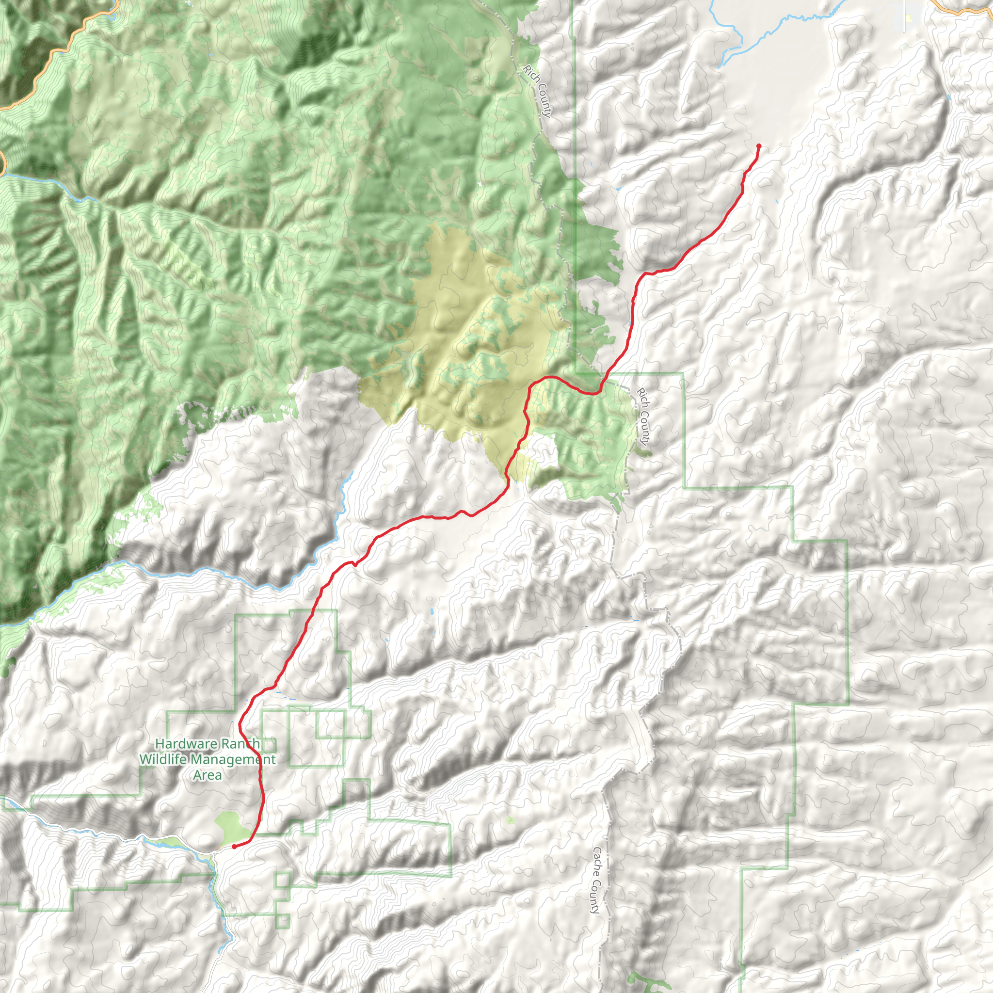
Starting near Cache County, Utah, the Cottonwood Canyon Road trail stretches approximately 31 kilometers (around 19 miles) with an elevation gain of about 700 meters (2,300 feet). This point-to-point trail is rated as medium difficulty, making it suitable for moderately experienced hikers.
Getting There To reach the trailhead, you can drive or use public transportation. If driving, head towards Cache County, Utah, and look for the nearest significant landmark, which is the town of Logan. From Logan, follow signs to the trailhead. Public transport options are limited, so it's advisable to arrange a car or a shuttle service to get to the starting point.
Trail Overview The trail begins with a gentle ascent, gradually increasing in elevation as you move deeper into the canyon. The first few kilometers (miles) are relatively easy, allowing you to acclimate to the terrain. As you progress, the trail becomes steeper, offering more challenging sections that require careful footing.
Landmarks and Points of Interest - **First 5 km (3 miles):** The initial stretch takes you through a lush, green landscape filled with native flora. Keep an eye out for wildflowers, especially in the spring and early summer months. - **5-10 km (3-6 miles):** As you continue, you'll encounter a series of small streams and waterfalls. These are perfect spots for a short break and some photography. - **10-15 km (6-9 miles):** The trail starts to climb more steeply here, offering panoramic views of the surrounding canyon. This section is also home to various bird species, so bring your binoculars if you're a bird-watching enthusiast. - **15-20 km (9-12 miles):** Midway through the trail, you'll come across an old mining site. This area has historical significance, dating back to the late 19th century when mining was a major activity in the region. Take some time to explore the remnants of the mining equipment and structures. - **20-25 km (12-15 miles):** The trail levels out somewhat, passing through a dense forested area. This section is shaded and cooler, providing a nice respite from the sun. - **25-31 km (15-19 miles):** The final stretch descends gradually, leading you out of the canyon. The landscape opens up, offering expansive views of the valley below.
Wildlife and Nature The Cottonwood Canyon Road trail is rich in biodiversity. You may encounter deer, elk, and even the occasional black bear. Smaller mammals like squirrels and chipmunks are also common. The area is a haven for birdlife, including hawks, eagles, and various songbirds. The flora varies from dense forests to open meadows, providing a diverse hiking experience.
Navigation and Safety Given the trail's length and varying terrain, it's crucial to be well-prepared. Use the HiiKER app for accurate navigation and real-time updates on trail conditions. Ensure you have enough water, snacks, and appropriate clothing for changing weather conditions. A first-aid kit and a map are also recommended.
Historical Significance The region around Cottonwood Canyon has a rich history, particularly related to mining activities in the late 1800s. The old mining site you'll encounter midway through the trail offers a glimpse into this past, with remnants of equipment and structures that tell the story of the area's industrial heritage.
Final Tips - **Best Time to Hike:** Late spring to early fall is ideal, as the weather is most favorable. - **Permits:** Check local regulations to see if any permits are required. - **Camping:** There are several designated camping spots along the trail if you plan to make it a multi-day hike.
Prepare well, respect the natural environment, and enjoy the diverse landscapes and historical landmarks that the Cottonwood Canyon Road trail has to offer.
What to expect?
Comments and Reviews
User comments, reviews and discussions about the Cottonwood Canyon Road, Utah.
4.54
average rating out of 5
13 rating(s)
