Download
Preview
Add to list
More
16.0 km
~1 day 0 hrs
1403 m
Out and Back
“"Cherry Peak Trail offers a scenic, moderately challenging 16km hike with historical landmarks and panoramic views."”
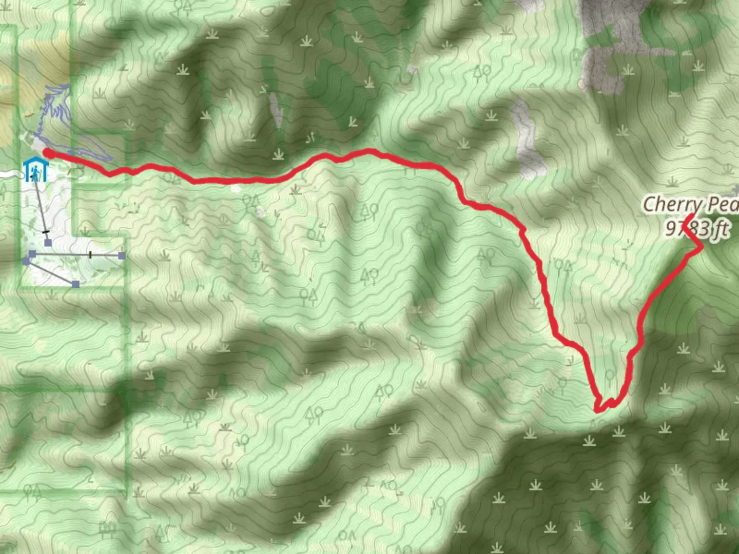
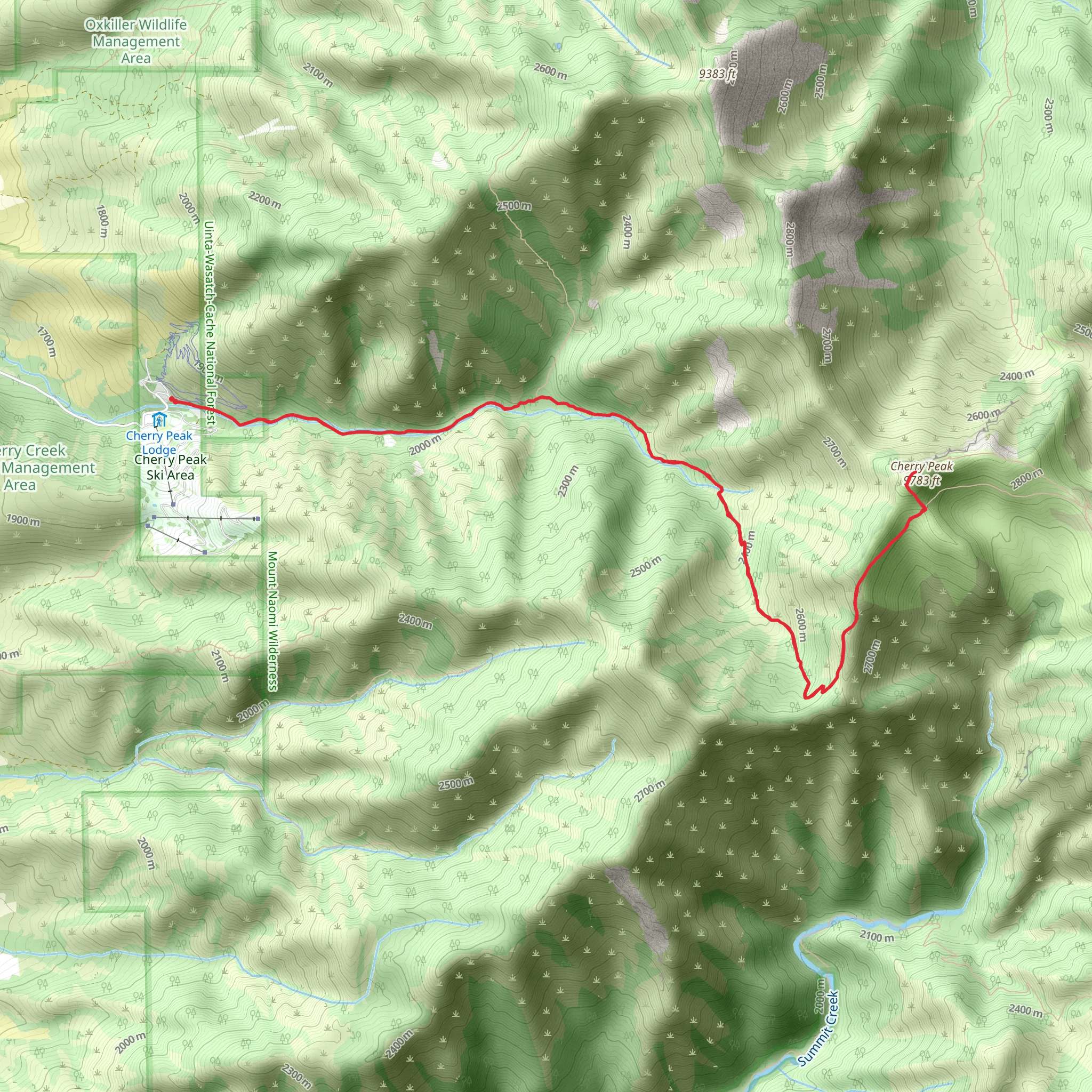
Starting your adventure near Cache County, Utah, the Cherry Peak and Cherry Creek Trail offers a rewarding out-and-back hike that spans approximately 16 kilometers (10 miles) with an elevation gain of around 1400 meters (4600 feet). This trail is rated as medium difficulty, making it suitable for moderately experienced hikers.### Getting There To reach the trailhead, you can drive or use public transportation. If driving, head towards the Cherry Peak Resort, located at 3200 E 11000 N, Richmond, UT 84333. From there, follow the signs to the trailhead parking area. For those using public transport, the nearest major city is Logan, Utah. From Logan, you can take a local bus or taxi to the Cherry Peak Resort.### Trail Overview The trail begins with a gentle ascent through a lush forest of aspen and pine trees. Early in the hike, you'll cross Cherry Creek, a picturesque stream that provides a serene backdrop. The first 3 kilometers (1.9 miles) are relatively easy, with an elevation gain of about 200 meters (656 feet), making it a good warm-up for the more challenging sections ahead.### Mid-Trail Landmarks As you continue, the trail becomes steeper and more rugged. Around the 5-kilometer (3.1-mile) mark, you'll encounter a series of switchbacks that lead you up the mountainside. This section offers stunning views of the Cache Valley below. Keep an eye out for wildlife; deer and elk are commonly seen in this area, and if you're lucky, you might spot a golden eagle soaring above.### Historical Significance The region around Cherry Peak has a rich history. The trail itself was used by early settlers and Native American tribes as a route through the mountains. You might notice remnants of old cabins and mining equipment along the way, offering a glimpse into the area's past.### Reaching Cherry Peak At approximately 8 kilometers (5 miles) in, you'll reach Cherry Peak. The summit provides panoramic views of the surrounding mountains and valleys. This is a great spot to take a break, have a snack, and soak in the scenery. The elevation gain to this point is about 1200 meters (3937 feet).### Return Journey The return journey follows the same path back to the trailhead. While descending, take your time to enjoy the different perspectives and perhaps spot some wildlife you missed on the way up. The total distance for the round trip is 16 kilometers (10 miles), with a total elevation gain of around 1400 meters (4600 feet).### Navigation and Safety For navigation, it's highly recommended to use the HiiKER app, which provides detailed maps and real-time GPS tracking. Ensure you have plenty of water, snacks, and appropriate clothing for changing weather conditions. The trail can be quite exposed in some sections, so sun protection is also essential.This trail offers a mix of natural beauty, historical intrigue, and physical challenge, making it a memorable hike for those who undertake it.
What to expect?
Activity types
Comments and Reviews
User comments, reviews and discussions about the Cherry Peak and Cherry Creek Trail, Utah.
4.64
average rating out of 5
14 rating(s)
