Download
Preview
Add to list
More
9.0 km
~2 hrs 4 min
174 m
Out and Back
“Explore the Booneville Shoreline Trail for panoramic views, historical geology, and diverse wildlife, perfect for moderate hikers.”
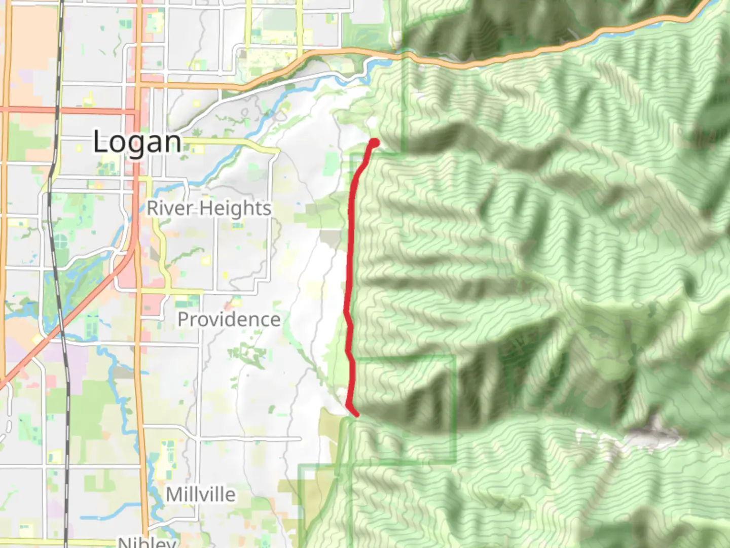
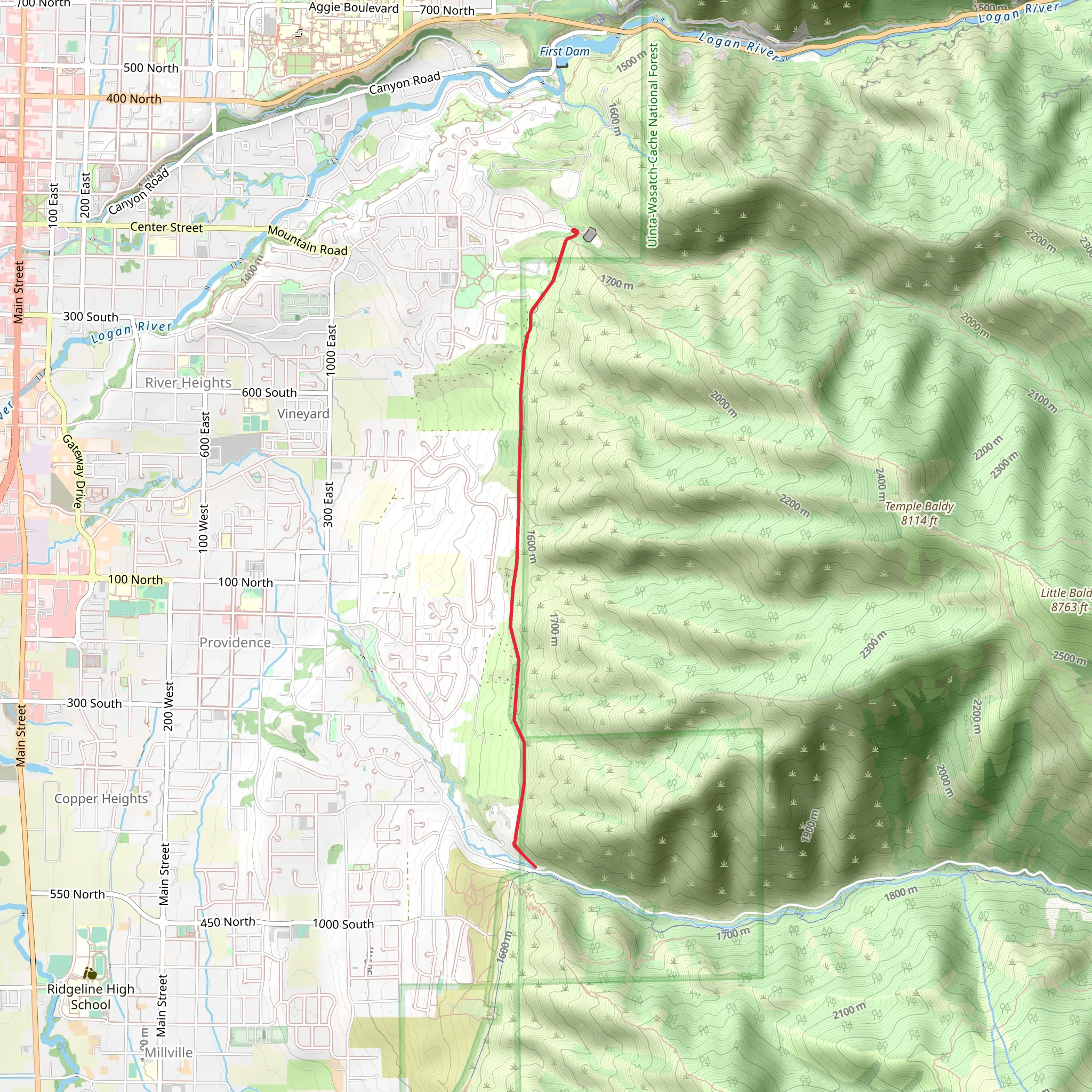
Starting near Cache County, Utah, the Booneville Shoreline Trail is an out-and-back trail that stretches approximately 9 kilometers (about 5.6 miles) with an elevation gain of around 100 meters (328 feet). This trail is rated as medium difficulty, making it suitable for moderately experienced hikers.
Getting There To reach the trailhead, you can drive or use public transportation. If driving, head towards the nearest significant landmark, which is the Logan Canyon Scenic Byway. From there, follow signs to the trailhead parking area. For those using public transport, the Cache Valley Transit District (CVTD) offers bus services that can get you close to the trailhead. Check the latest schedules and routes on their website to plan your trip.
Trail Overview The Booneville Shoreline Trail offers a mix of natural beauty and historical significance. The trail follows the ancient shoreline of Lake Bonneville, a prehistoric lake that once covered much of Utah. As you hike, you'll notice the distinct terraces and geological formations that mark the lake's former boundaries.
Landmarks and Points of Interest - **0.5 km (0.3 miles):** Shortly after starting, you'll come across a small creek. This is a good spot to take a quick break and enjoy the sound of flowing water. - **2 km (1.2 miles):** At this point, you'll reach a viewpoint that offers panoramic views of Cache Valley. This is one of the highlights of the trail, so make sure to bring your camera. - **4.5 km (2.8 miles):** The turnaround point of the trail features a large rock formation known locally as "The Sentinel." This natural landmark is a great place to rest before heading back.
Flora and Fauna The trail is home to a variety of plant and animal species. You'll encounter sagebrush, juniper, and various wildflowers depending on the season. Wildlife sightings may include mule deer, rabbits, and a variety of bird species such as hawks and songbirds. Always keep a respectful distance from wildlife and follow Leave No Trace principles.
Navigation and Safety For navigation, it's highly recommended to use the HiiKER app, which provides detailed maps and real-time updates. The trail is well-marked, but having a reliable navigation tool can enhance your hiking experience and ensure you stay on track.
Historical Significance The Booneville Shoreline Trail is not just a hike; it's a journey through time. The ancient Lake Bonneville existed during the last Ice Age, approximately 14,500 years ago. The lake's shoreline has left behind terraces and other geological features that tell the story of Utah's prehistoric past. As you hike, take a moment to appreciate the natural history that surrounds you.
Final Tips - **Weather:** Check the weather forecast before heading out. The trail can be quite exposed, so bring sun protection and plenty of water. - **Footwear:** Wear sturdy hiking boots with good ankle support. - **Timing:** The trail can be hiked year-round, but spring and fall offer the most comfortable temperatures.
Enjoy your hike on the Booneville Shoreline Trail, where natural beauty and ancient history come together to create a memorable outdoor experience.
What to expect?
Activity types
Comments and Reviews
User comments, reviews and discussions about the Booneville Shoreline Trail, Utah.
4.5
average rating out of 5
14 rating(s)
