Download
Preview
Add to list
More
7.6 km
~1 hrs 50 min
192 m
Out and Back
“The Blacksmith Fork River Walk in Cache County blends natural beauty, wildlife, and history on a rewarding 8 km trail.”
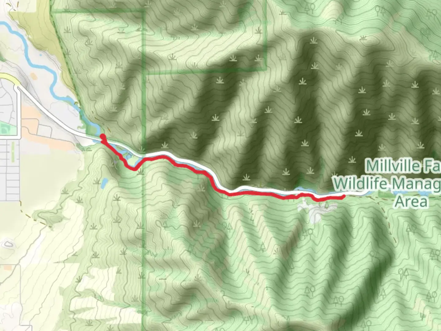
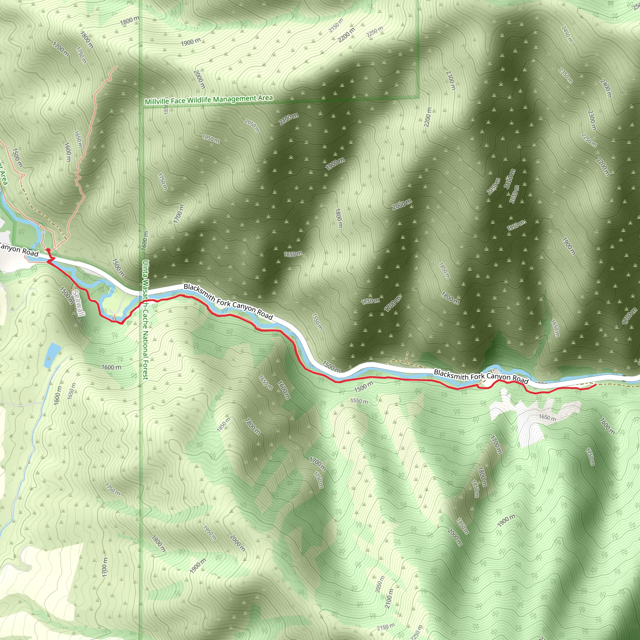
Starting near Cache County, Utah, the Blacksmith Fork River Walk is an 8 km (approximately 5 miles) out-and-back trail with an elevation gain of around 100 meters (328 feet). This medium-difficulty trail offers a delightful mix of natural beauty and historical significance, making it a rewarding experience for hikers of various skill levels.### Getting ThereTo reach the trailhead, you can drive or use public transportation. If driving, head towards the town of Hyrum, Utah. The nearest significant landmark is the Hyrum State Park, located at 405 W 300 S, Hyrum, UT 84319. From there, it's a short drive to the trailhead. For those using public transport, the Cache Valley Transit District (CVTD) offers bus services that can get you close to Hyrum, but you may need to arrange for a taxi or rideshare for the final leg of the journey.### Trail OverviewThe trail begins near the Blacksmith Fork River, a serene waterway that meanders through the Cache Valley. As you start your hike, you'll be greeted by the soothing sounds of flowing water and the rustling of leaves. The initial section of the trail is relatively flat, making it an easy warm-up for the more moderate inclines that follow.### Landmarks and Points of Interest#### Wildlife and FloraApproximately 2 km (1.2 miles) into the hike, you'll enter a lush, wooded area teeming with local flora and fauna. Keep an eye out for mule deer, wild turkeys, and various bird species. The trail is particularly beautiful in the spring and fall when the foliage is either in full bloom or displaying vibrant autumn colors.#### Historical SignificanceAround the 4 km (2.5 miles) mark, you'll come across remnants of old blacksmith shops and cabins, which date back to the late 19th century. These structures are a testament to the area's history, once a bustling hub for blacksmiths who served the local farming community. Take a moment to explore these relics and imagine the lives of the people who once worked and lived here.### Navigation and SafetyGiven the moderate difficulty of the trail, it's advisable to use a reliable navigation tool like HiiKER to keep track of your progress and ensure you stay on the right path. The trail is well-marked, but having a digital map can provide extra peace of mind.### Elevation and TerrainThe trail's elevation gain is gradual, with the most significant inclines occurring between the 3 km (1.9 miles) and 5 km (3.1 miles) marks. The terrain varies from packed dirt to rocky sections, so sturdy hiking boots are recommended. Trekking poles can also be helpful, especially during the steeper sections.### Final StretchAs you approach the turnaround point at the 4 km (2.5 miles) mark, you'll be rewarded with a picturesque view of the Blacksmith Fork River valley. This is an excellent spot to take a break, enjoy a snack, and soak in the natural beauty before heading back the way you came.### Practical Tips- Water and Snacks: Ensure you carry enough water and some high-energy snacks. - Weather: Check the weather forecast before heading out, as conditions can change rapidly. - Wildlife: Be mindful of local wildlife and maintain a safe distance. - Leave No Trace: Pack out all trash and respect the natural environment.The Blacksmith Fork River Walk offers a perfect blend of natural beauty, wildlife, and historical intrigue, making it a must-visit for anyone in the Cache County area.
What to expect?
Activity types
Comments and Reviews
User comments, reviews and discussions about the Blacksmith Fork River Walk, Utah.
4.58
average rating out of 5
19 rating(s)
