Download
Preview
Add to list
More
20.6 km
~1 day 1 hrs
1374 m
Out and Back
“Experience natural beauty, history, and diverse wildlife on the rewarding 21-km Birch Canyon Trail in Utah.”
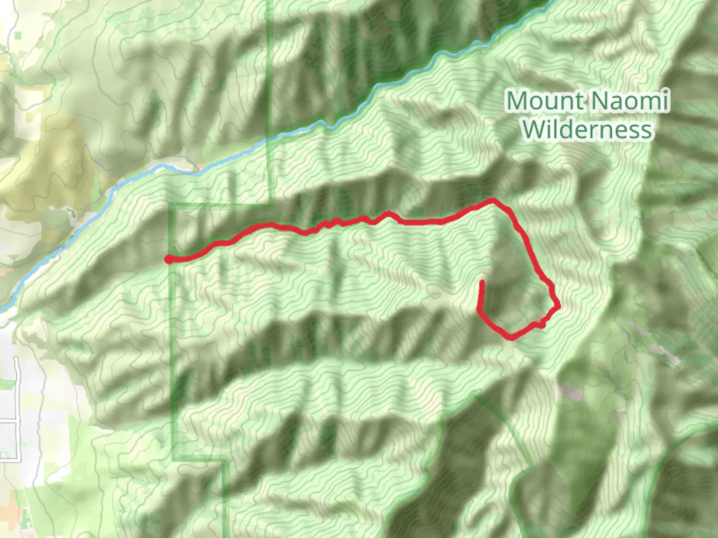
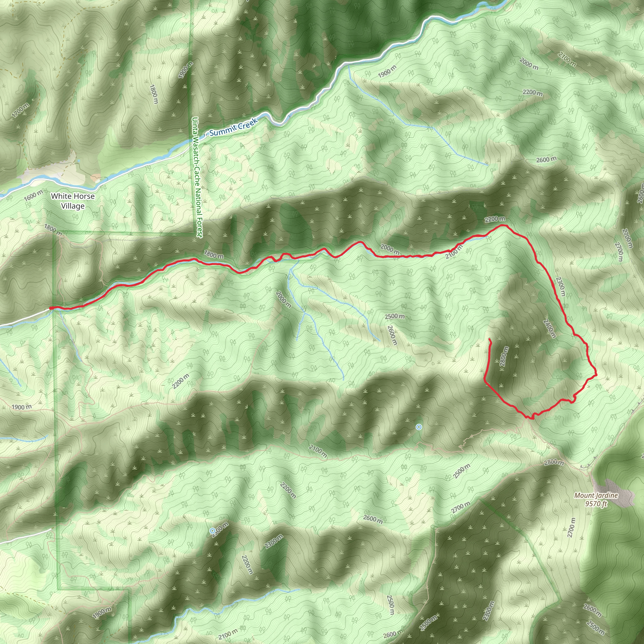
Starting near Cache County, Utah, the Birch Canyon Trail offers a rewarding out-and-back hike spanning approximately 21 kilometers (13 miles) with an elevation gain of around 1300 meters (4265 feet). This medium-difficulty trail is perfect for those looking to experience the natural beauty and diverse wildlife of the region.### Getting There To reach the trailhead, you can drive or use public transportation. If driving, head towards the nearest significant landmark, which is the town of Logan, Utah. From Logan, take US-89 North and then turn onto Canyon Road. Follow this road until you reach the Birch Canyon Trailhead parking area. For those using public transport, you can take a bus to Logan and then a local taxi or rideshare service to the trailhead.### Trail Overview The Birch Canyon Trail begins with a gentle ascent through a lush forest of aspen and pine trees. The initial 3 kilometers (1.9 miles) are relatively easy, with an elevation gain of about 200 meters (656 feet). This section is perfect for warming up and getting accustomed to the terrain.### Mid-Trail Highlights As you progress, the trail becomes steeper and more challenging. Around the 6-kilometer (3.7-mile) mark, you will encounter a series of switchbacks that offer stunning views of the surrounding canyon. This section gains approximately 400 meters (1312 feet) in elevation and provides an excellent opportunity for photography.At about 10 kilometers (6.2 miles) in, you'll reach a beautiful meadow, a perfect spot for a rest and a picnic. This area is often frequented by local wildlife, including deer and various bird species. Keep an eye out for wildflowers in the spring and summer months.### Historical Significance The Birch Canyon area has a rich history, with evidence of Native American habitation dating back thousands of years. The trail itself was used by early settlers and pioneers as a route through the rugged terrain. You may come across old cabins and remnants of early mining operations, adding a historical dimension to your hike.### Final Stretch The last 5 kilometers (3.1 miles) of the trail are the most challenging, with an elevation gain of about 700 meters (2297 feet). This section takes you through rocky terrain and offers panoramic views of the Cache Valley. The trail ends at a high ridge, providing a breathtaking vantage point to take in the surrounding landscape.### Navigation and Safety Given the trail's length and elevation gain, it's crucial to be well-prepared. Use the HiiKER app for accurate navigation and real-time updates on trail conditions. Ensure you carry enough water, snacks, and appropriate clothing for changing weather conditions. ### Flora and Fauna The Birch Canyon Trail is home to a diverse range of flora and fauna. In addition to the aspen and pine forests, you'll find patches of wildflowers, especially in the spring and summer. Wildlife sightings may include deer, elk, and various bird species. Always maintain a safe distance from wildlife and follow Leave No Trace principles to preserve the natural beauty of the area.This trail offers a mix of natural beauty, historical significance, and physical challenge, making it a must-visit for any avid hiker.
What to expect?
Activity types
Comments and Reviews
User comments, reviews and discussions about the Birch Canyon Trail, Utah.
4.36
average rating out of 5
11 rating(s)
