Download
Preview
Add to list
More
10.4 km
~3 hrs 9 min
647 m
Loop
“Embark on the White Rock Loop Trail for a captivating hike through diverse landscapes and rich history.”
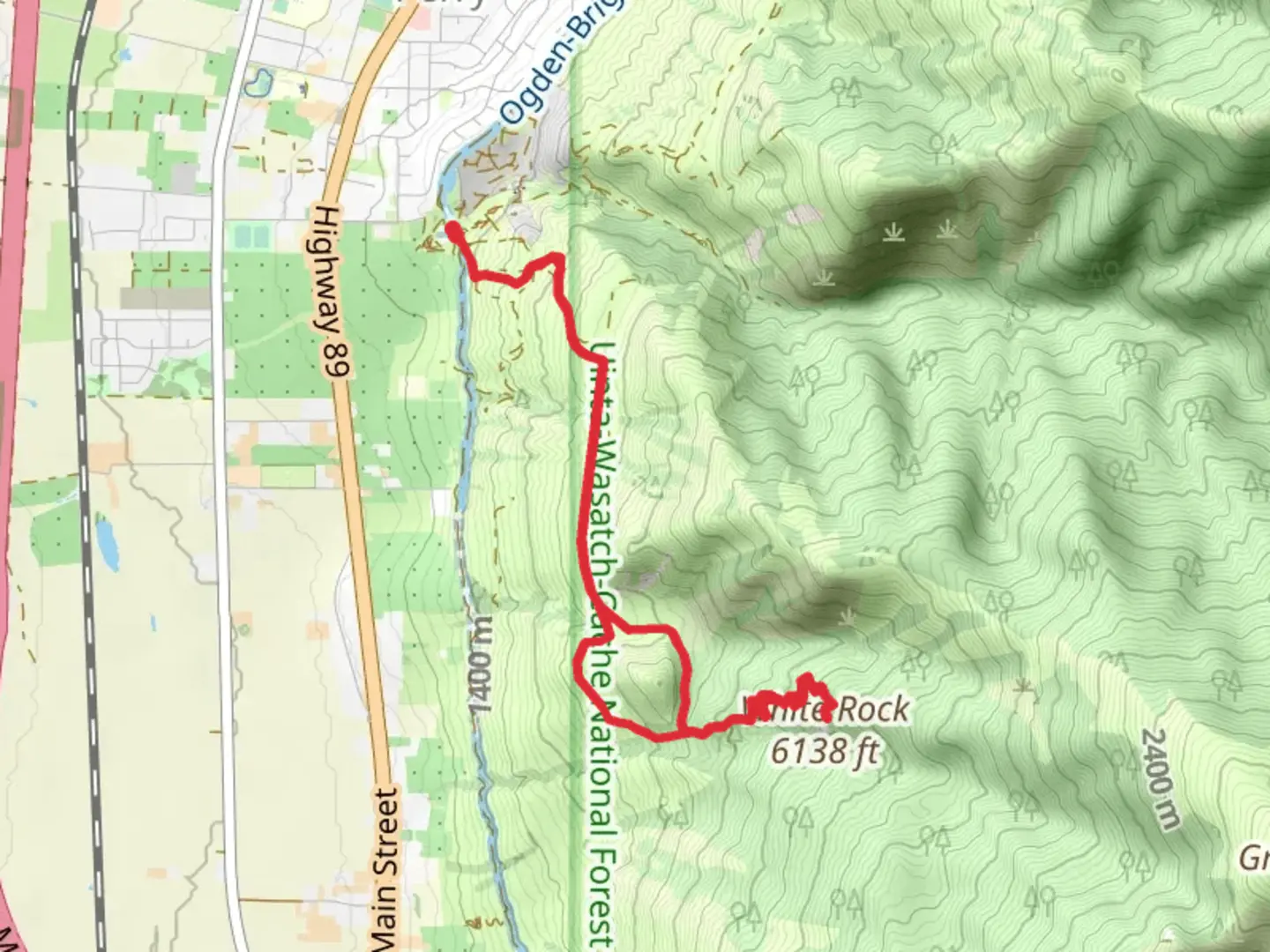
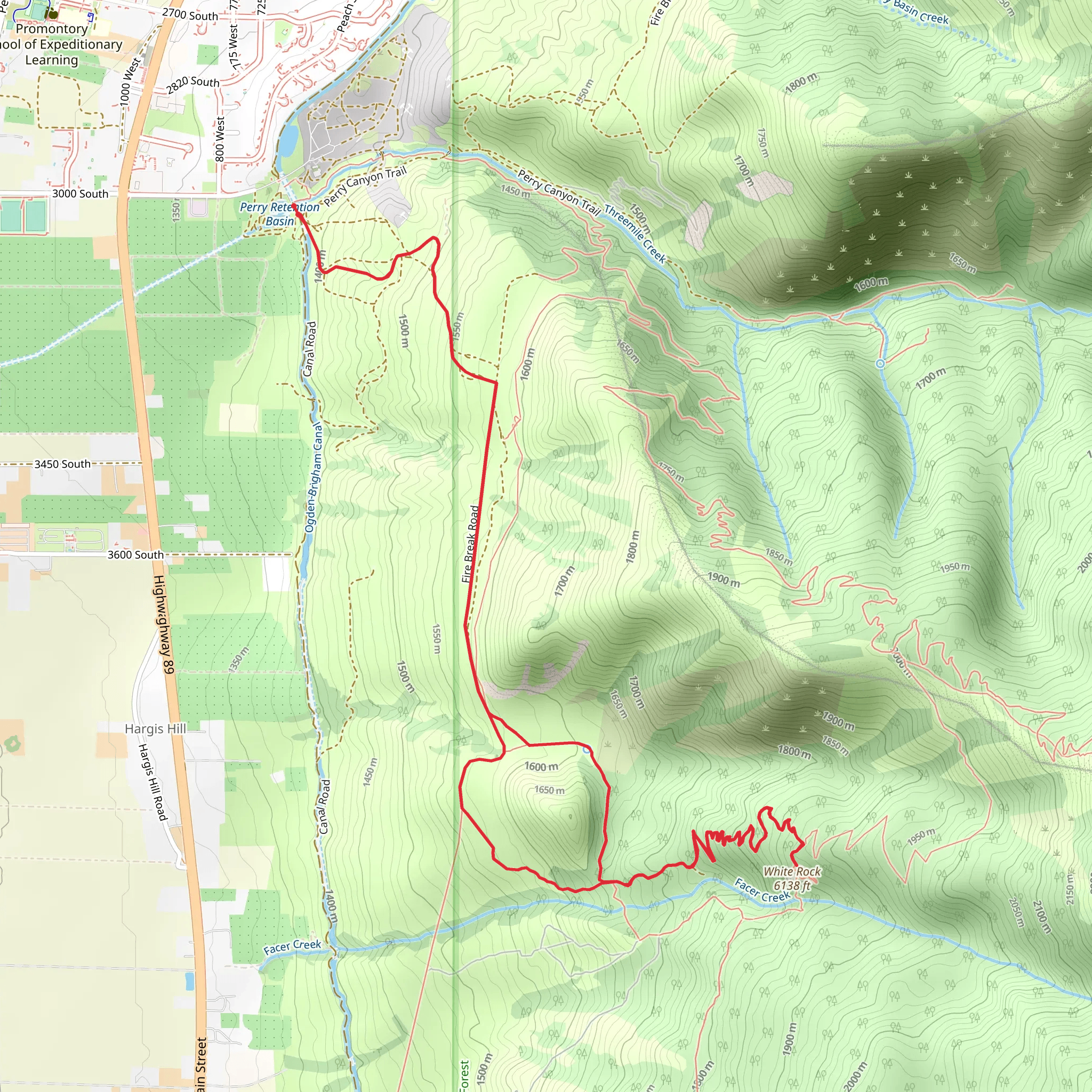
Starting your adventure near Box Elder County, Utah, the White Rock Loop Trail offers a captivating 10 km (6.2 miles) journey with an elevation gain of approximately 600 meters (1,969 feet). This medium-difficulty loop trail is perfect for those looking to experience the diverse landscapes and rich history of the region.### Getting There To reach the trailhead, you can drive or use public transportation. If driving, head towards the nearest significant landmark, the town of Brigham City, Utah. From Brigham City, take US-91 North and then follow signs to the trailhead. For those using public transport, the nearest major bus station is in Brigham City. From there, you may need to arrange a taxi or rideshare to the trailhead, as public transport options are limited in this rural area.### Trail Overview The White Rock Loop Trail begins with a gentle ascent through a mixed forest of pines and aspens. After about 1.5 km (0.9 miles), the trail starts to climb more steeply, offering panoramic views of the surrounding valleys and distant mountain ranges. This initial section gains approximately 200 meters (656 feet) in elevation, so be prepared for a bit of a workout.### Significant Landmarks and Nature As you continue, you'll encounter several notable landmarks. Around the 3 km (1.9 miles) mark, you'll come across a large rock formation known locally as "The Sentinel." This natural monument is a great spot for a short break and some photos. The trail then meanders through a series of meadows, which are particularly stunning in the spring and early summer when wildflowers are in full bloom.### Wildlife Keep an eye out for local wildlife, including mule deer, wild turkeys, and occasionally, black bears. Birdwatchers will also enjoy spotting various species of hawks and eagles soaring above.### Historical Significance The area around the White Rock Loop Trail has a rich history. Native American tribes, including the Shoshone, once inhabited this region. Evidence of their presence can still be found in the form of petroglyphs and ancient campsites. During the 19th century, the trail area was also a route for early settlers and pioneers heading west.### Navigation and Safety Given the trail's moderate difficulty, it's advisable to use a reliable navigation tool like HiiKER to keep track of your progress and ensure you stay on the correct path. The trail is well-marked, but having a digital map can provide extra peace of mind.### Final Stretch The final 2 km (1.2 miles) of the trail descend gradually back towards the trailhead, offering a relaxing end to your hike. This section passes through a dense forest, providing ample shade and a cool respite, especially during the warmer months.### Preparation Tips Given the elevation gain and the varied terrain, make sure to wear sturdy hiking boots and bring plenty of water. Weather can change rapidly in this region, so pack layers and be prepared for sudden shifts in temperature.Embark on the White Rock Loop Trail for a rewarding hike that combines natural beauty, wildlife, and a touch of historical intrigue.
What to expect?
Activity types
Comments and Reviews
User comments, reviews and discussions about the White Rock Loop Trail, Utah.
4.11
average rating out of 5
9 rating(s)
