Download
Preview
Add to list
More
8.2 km
~1 hrs 55 min
172 m
Loop
“The Eagle Rise Trail blends natural beauty, historical intrigue, and moderate challenge, rewarding hikers of various skill levels.”
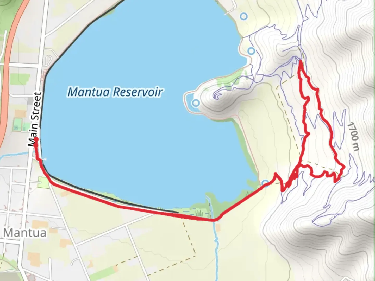
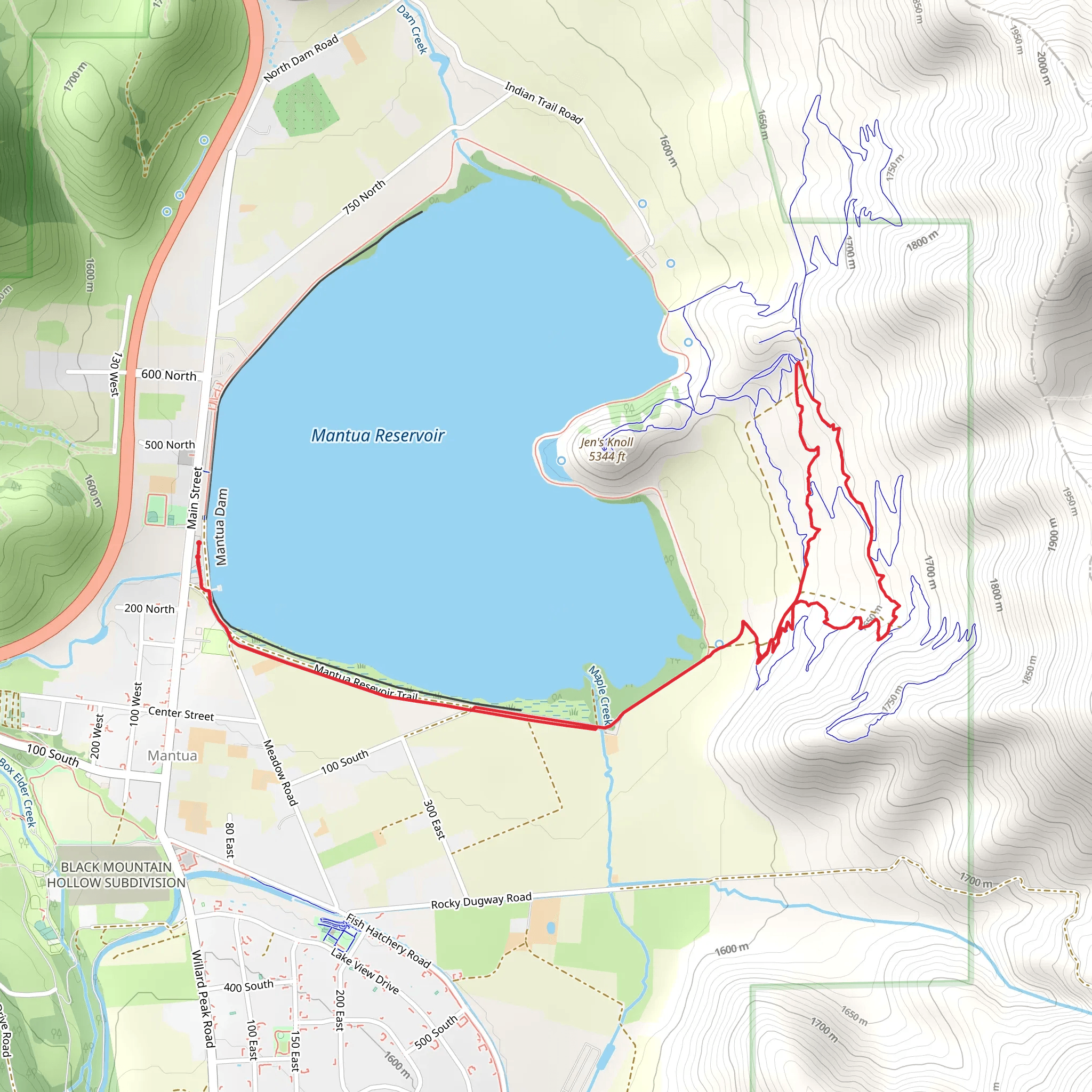
Starting near Box Elder County, Utah, the Eagle Rise Trail is an 8 km (approximately 5 miles) loop with an elevation gain of around 100 meters (328 feet). This medium-difficulty trail offers a blend of natural beauty, historical significance, and moderate physical challenge, making it a rewarding experience for hikers of various skill levels.
Getting There
To reach the trailhead, you can drive or use public transportation. If you're driving, head towards Box Elder County and look for signs directing you to the Eagle Rise Trail. The nearest significant landmark is the Bear River Migratory Bird Refuge, located at 2155 W Forest St, Brigham City, UT 84302. From there, it's a short drive to the trailhead. For those using public transport, the nearest bus stop is in Brigham City, from where you can take a taxi or rideshare service to the trailhead.
Trail Overview
The trail begins with a gentle ascent, allowing you to ease into the hike. As you progress, you'll encounter a mix of dirt paths and rocky sections, so sturdy hiking boots are recommended. The first significant landmark is a small wooden bridge crossing a creek, located about 1.5 km (0.9 miles) from the start. This is a great spot to take a short break and enjoy the serene surroundings.
Flora and Fauna
The Eagle Rise Trail is home to a variety of plant and animal species. In the spring and summer, you'll find wildflowers such as lupines and Indian paintbrushes dotting the landscape. Keep an eye out for mule deer and the occasional fox. Birdwatchers will be delighted by the presence of hawks, eagles, and various songbirds. The trail also passes through groves of aspen and pine, providing both shade and a picturesque backdrop.
Historical Significance
Box Elder County has a rich history, and the Eagle Rise Trail offers glimpses into the past. About halfway through the hike, you'll come across remnants of old mining operations. These sites date back to the late 19th century when the area was a hub for mining activities. Informational plaques provide context and historical details, making this a great educational stop.
Navigation and Safety
The trail is well-marked, but it's always a good idea to have a reliable navigation tool. HiiKER is an excellent app for this purpose, offering detailed maps and real-time updates. The trail can be slippery after rain, so check weather conditions before heading out. Carry plenty of water, especially during the hotter months, and consider bringing a hat and sunscreen for sun protection.
Final Stretch
As you near the end of the loop, the trail descends gently back towards the starting point. This section offers panoramic views of the surrounding valleys and distant mountains, making it a perfect spot for photos. The final kilometer (0.6 miles) is relatively flat, allowing you to cool down and reflect on the hike.
The Eagle Rise Trail is a well-rounded hike that offers a bit of everything—scenic views, historical insights, and a moderate physical challenge. Whether you're a seasoned hiker or a beginner looking for a rewarding adventure, this trail is sure to leave a lasting impression.
What to expect?
Activity types
Comments and Reviews
User comments, reviews and discussions about the Eagle Rise Trail, Utah.
4.63
average rating out of 5
16 rating(s)
