Download
Preview
Add to list
More
21.8 km
~1 day 1 hrs
1244 m
Out and Back
“The Blue Lake Trail near Beaver County, Utah, offers a rewarding 22-kilometer hike filled with natural beauty, wildlife, and history.”
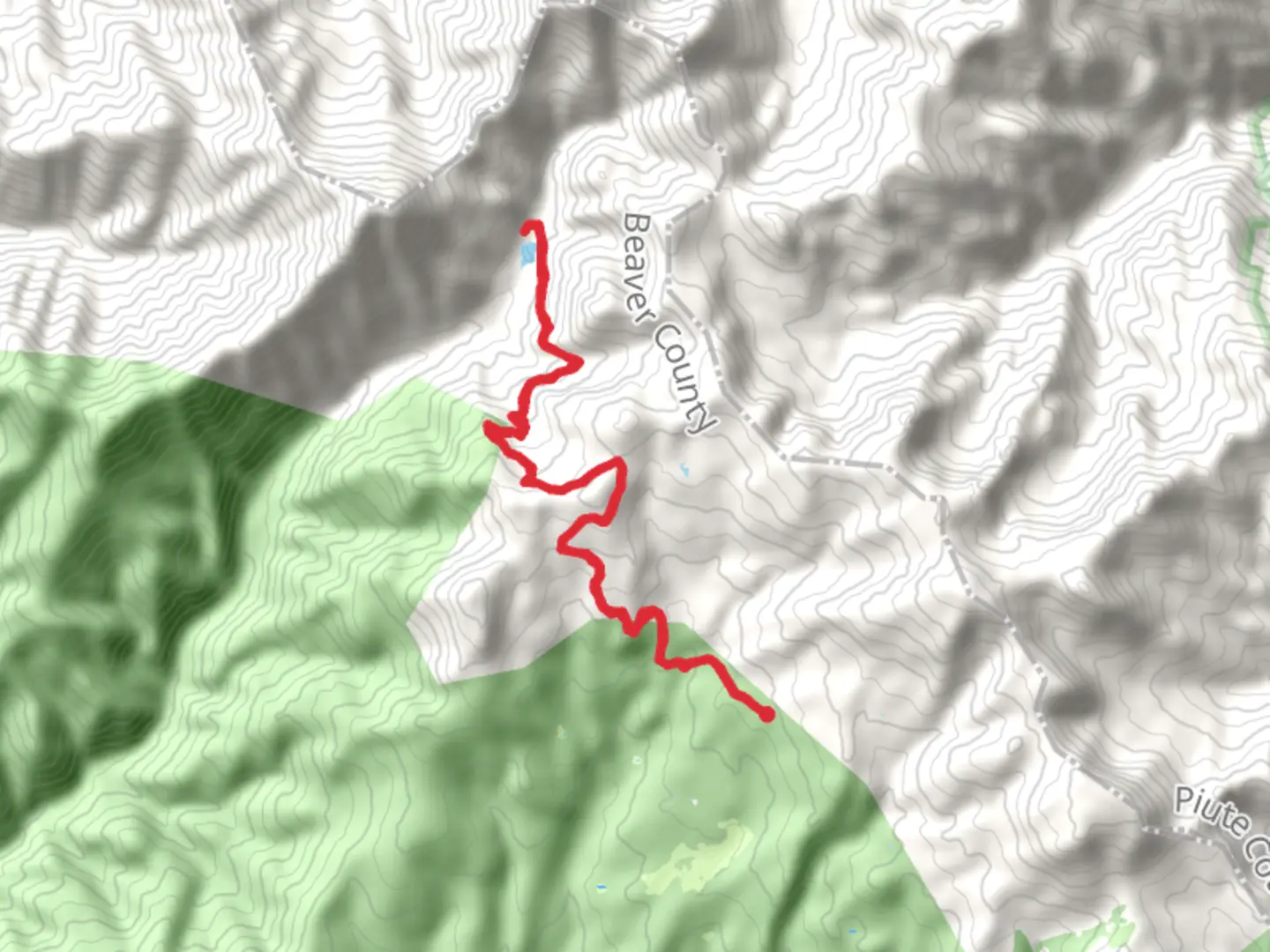
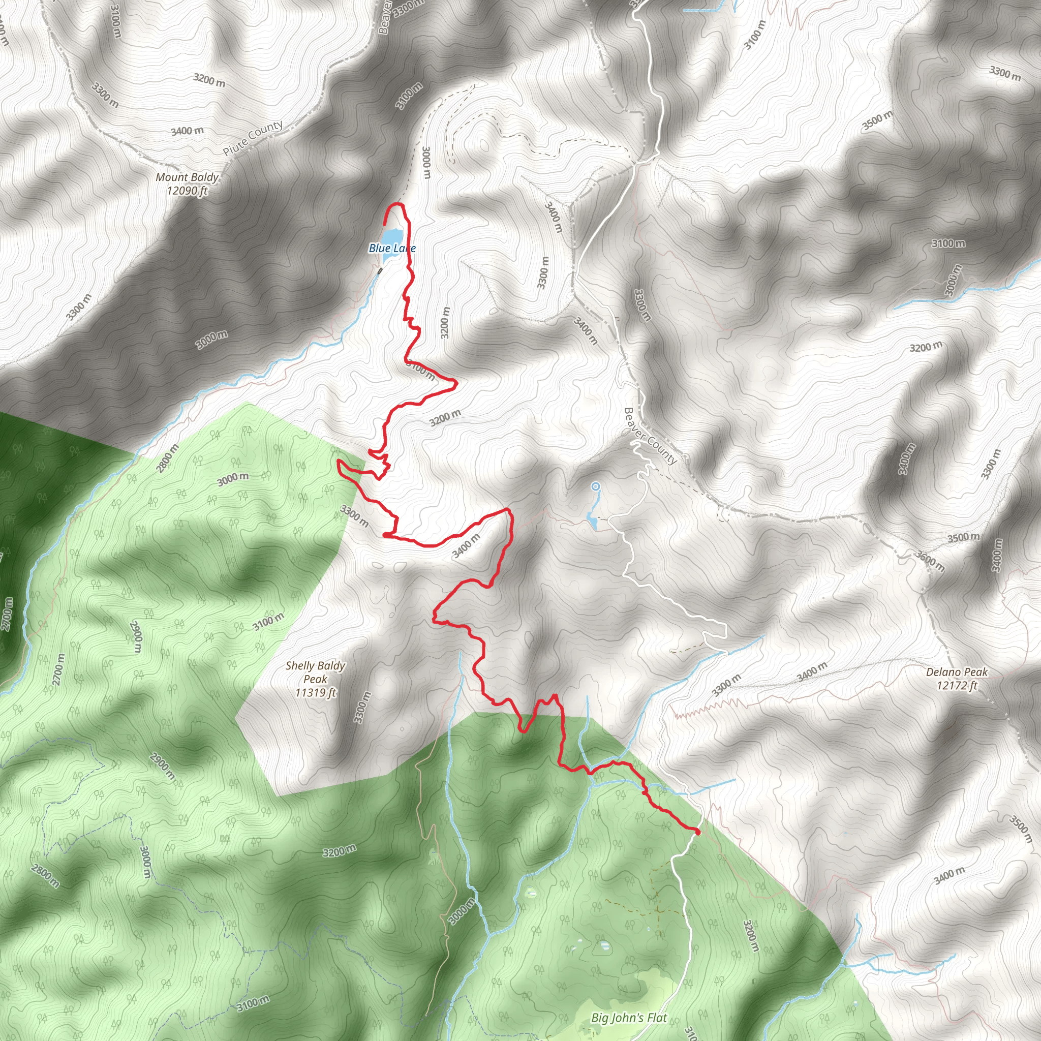
Starting near Beaver County, Utah, the Blue Lake Trail is an invigorating out-and-back hike that spans approximately 22 kilometers (13.7 miles) with an elevation gain of around 1200 meters (3937 feet). This medium-difficulty trail offers a blend of natural beauty, historical significance, and diverse wildlife, making it a rewarding experience for hikers.
Getting There To reach the trailhead, you can drive or use public transport. If driving, head towards Beaver County, Utah, and look for the nearest known address or significant landmark, which is the Beaver County Courthouse. From there, follow local signage to the trailhead. For those using public transport, the nearest bus stop is at Beaver City, from where you can take a local taxi or rideshare service to the trailhead.
Trail Overview The Blue Lake Trail begins with a gentle ascent through a dense forest of pine and aspen trees. The initial 3 kilometers (1.9 miles) are relatively easy, with an elevation gain of about 200 meters (656 feet), making it a good warm-up for the more challenging sections ahead. As you progress, the trail becomes steeper and rockier, requiring careful footing.
Significant Landmarks and Nature Around the 5-kilometer (3.1-mile) mark, you'll encounter a picturesque meadow, often filled with wildflowers during the spring and summer months. This is a great spot to take a break and enjoy the scenery. Continuing on, the trail winds through a series of switchbacks, gaining another 400 meters (1312 feet) in elevation over the next 4 kilometers (2.5 miles).
At approximately 9 kilometers (5.6 miles) into the hike, you'll reach a viewpoint offering stunning vistas of the surrounding valleys and mountains. This is one of the most photographed spots on the trail, so have your camera ready.
Wildlife and Flora The Blue Lake Trail is home to a variety of wildlife, including deer, elk, and occasionally black bears. Birdwatchers will also find plenty to admire, with species such as the mountain bluebird and the golden eagle frequently spotted. The flora is equally diverse, with groves of quaking aspen, ponderosa pine, and a variety of wildflowers depending on the season.
Historical Significance The region around the Blue Lake Trail has a rich history. It was originally inhabited by the Paiute Native American tribe, and remnants of their presence can still be found in the form of petroglyphs and ancient tools. During the late 19th century, the area saw an influx of settlers and miners, and some old mining equipment and cabins can still be seen along the trail.
Final Stretch to Blue Lake The final 4 kilometers (2.5 miles) to Blue Lake are the most challenging, with an elevation gain of about 600 meters (1968 feet). The trail becomes narrower and more rugged, so take your time and use trekking poles if you have them. Upon reaching Blue Lake, you'll be rewarded with crystal-clear waters surrounded by towering peaks. It's a perfect spot for a picnic or a refreshing dip, though the water can be quite cold even in summer.
Navigation and Safety For navigation, it's highly recommended to use the HiiKER app, which provides detailed maps and real-time updates. Ensure you have enough water, snacks, and appropriate clothing for changing weather conditions. Always let someone know your hiking plans and expected return time.
The Blue Lake Trail offers a comprehensive hiking experience with its mix of natural beauty, wildlife, and historical elements. Whether you're an experienced hiker or someone looking to challenge themselves, this trail has something for everyone.
What to expect?
Activity types
Comments and Reviews
User comments, reviews and discussions about the Blue Lake Trail, Utah.
4.45
average rating out of 5
11 rating(s)
