Download
Preview
Add to list
More
5.9 km
~1 hrs 12 min
17 m
Loop
“Explore Sugar Land's serene 6km trail, where history and nature offer a peaceful Texan retreat.”
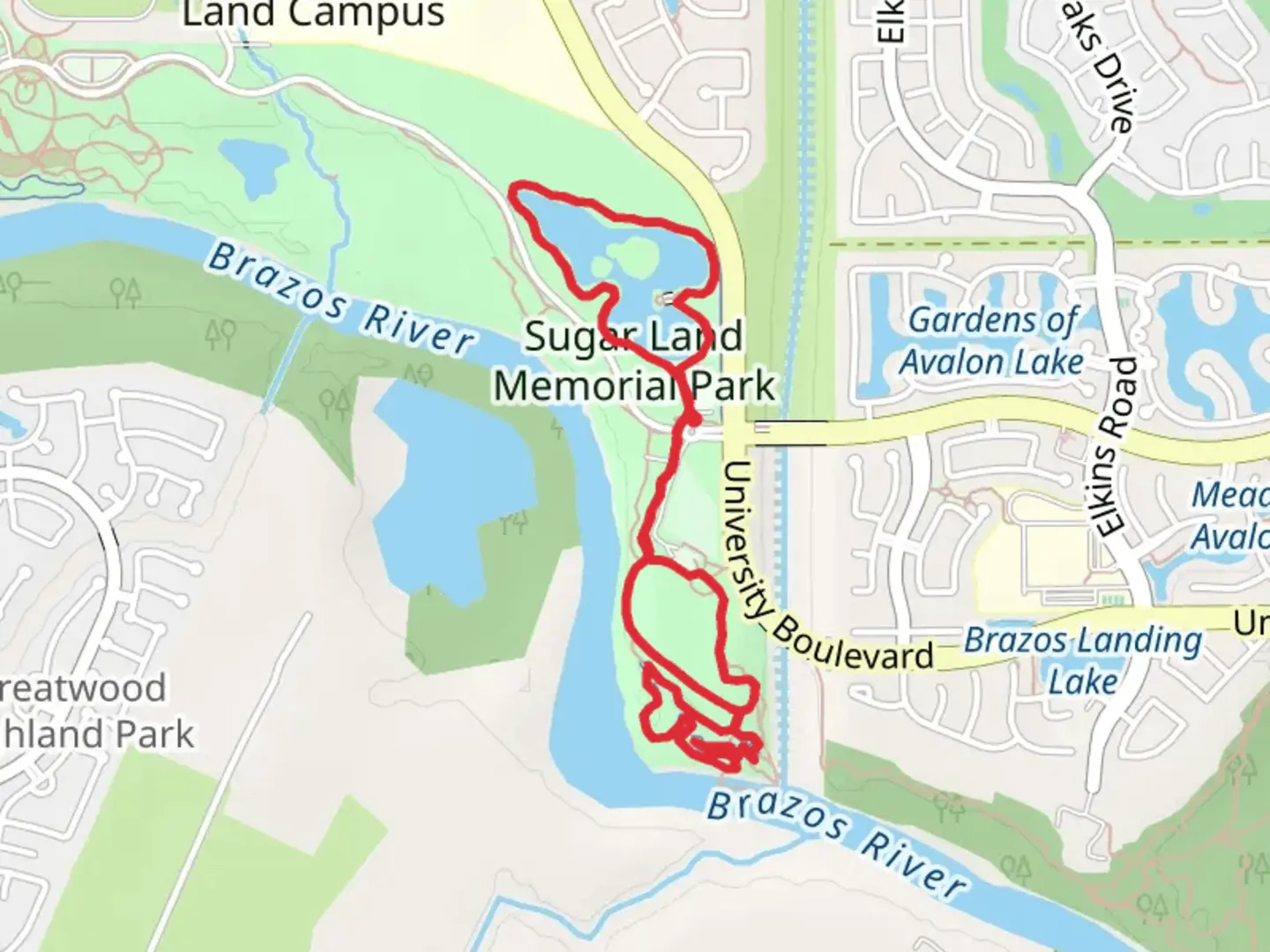
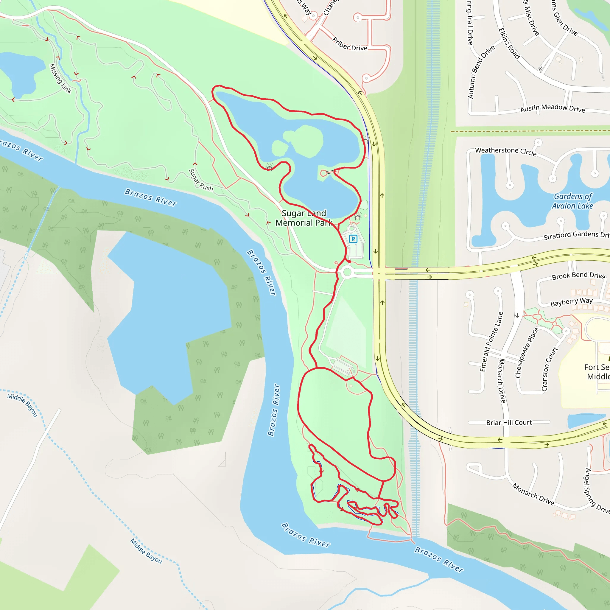
The Sugar Land Memorial Park Loop - East is a scenic trail that offers a tranquil escape in the bustling area of Fort Bend County, Texas. Spanning approximately 6 kilometers (about 3.7 miles), this loop trail is characterized by its flat terrain, with virtually no elevation gain, making it accessible for hikers of varying skill levels, though it is rated medium in difficulty due to the trail length and environmental factors.Getting ThereTo reach the trailhead, hikers can drive to Sugar Land Memorial Park, located at the intersection of Commonwealth Boulevard and University Boulevard. There is ample parking available at the park, which serves as a convenient starting point for the loop. For those opting for public transportation, local bus services can be used to get close to the park, followed by a short walk to reach the trailhead.Trail ExperienceUpon embarking on the hike, you'll be greeted by the lush greenery that envelops the park. The trail is well-maintained and primarily consists of crushed gravel and paved sections, making it suitable for both walking and biking. As you progress, the path meanders along the Brazos River, offering serene water views and the opportunity to spot local wildlife such as waterfowl and turtles basking in the sun.Flora and FaunaThe loop is a haven for birdwatchers, with the possibility of observing a variety of bird species, including herons, egrets, and perhaps even the occasional osprey. The surrounding vegetation is typical of the Texan landscape, with a mix of native grasses, wildflowers, and trees that provide shade along certain stretches of the trail.Historical SignificanceThe region holds historical significance, as the Brazos River played a crucial role in the development of Texas. It was an essential waterway for trade and transportation in the 19th century. As you hike, consider the rich history of the area, which was once a bustling hub for early settlers and has now transformed into a peaceful recreational space.Navigating the TrailFor navigation assistance, hikers can utilize the HiiKER app to access detailed maps of the Sugar Land Memorial Park Loop - East. The app provides real-time location tracking and trail information, ensuring that you can stay on the correct path throughout your hike.Points of InterestApproximately halfway through the loop, hikers will find a memorial area dedicated to veterans, which is a poignant place to pause and reflect. Additionally, there are several benches and picnic spots along the route, perfect for a mid-hike break or a post-hike meal.Preparation TipsBefore setting out, ensure you have adequate water, especially during the hotter months, as the Texas heat can be intense. Sun protection, such as sunscreen, a hat, and sunglasses, is also recommended. While the trail is relatively short, comfortable walking shoes are advisable for the best experience.Remember to respect the natural environment by staying on the trail and disposing of any trash properly. The Sugar Land Memorial Park Loop - East is a family-friendly trail that offers a glimpse into the natural beauty and history of Fort Bend County, providing an enjoyable outing for hikers of all ages.
What to expect?
Activity types
Comments and Reviews
User comments, reviews and discussions about the Sugar Land Memorial Park Loop - East, Texas.
4.53
average rating out of 5
19 rating(s)
