Download
Preview
Add to list
More
48.2 km
~4 days
2171 m
Multi-Day
“Embark on the Guadalupe Loop's rigorous, scenic adventure through Texas' peaks and history-steeped valleys.”
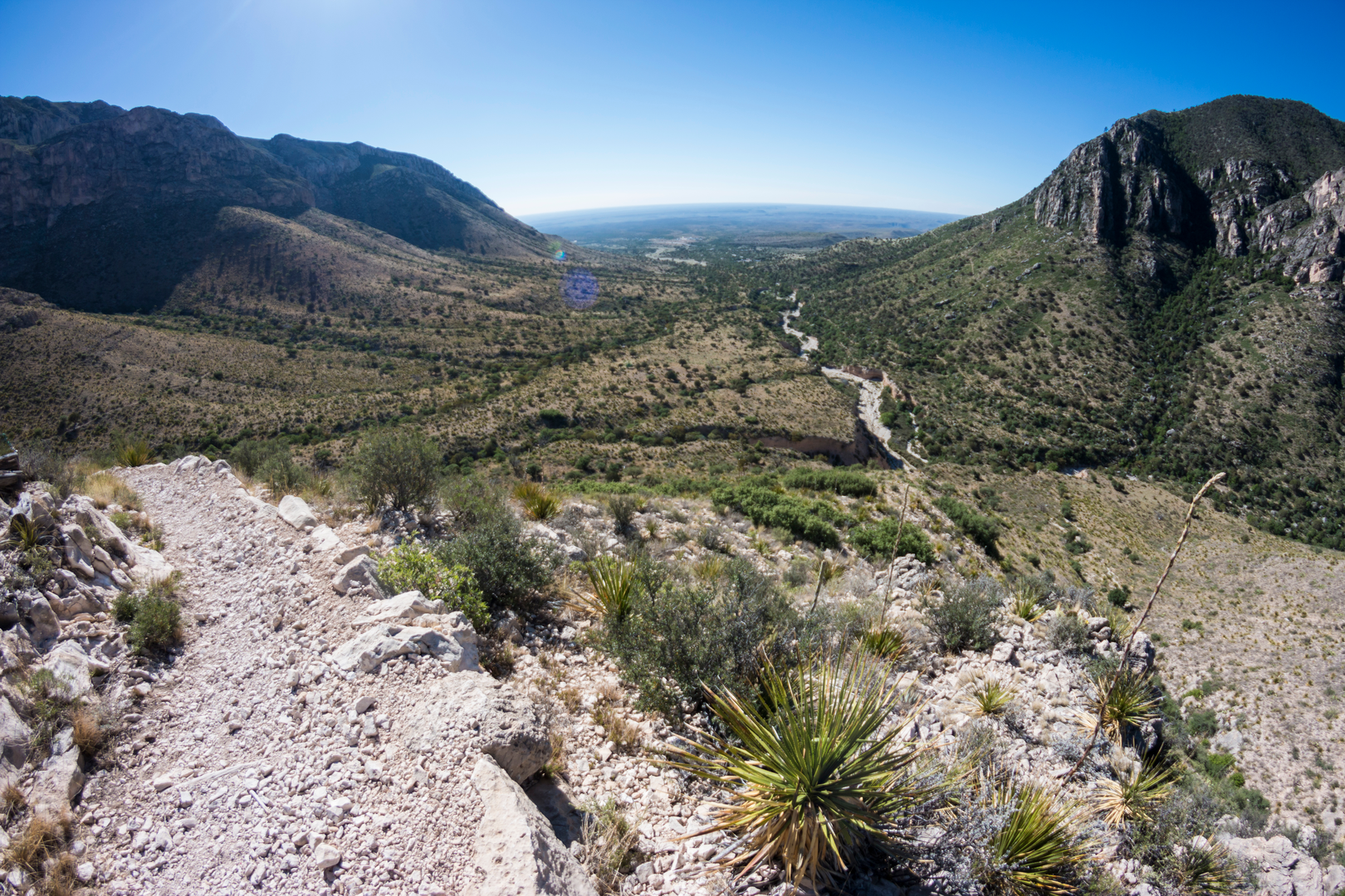
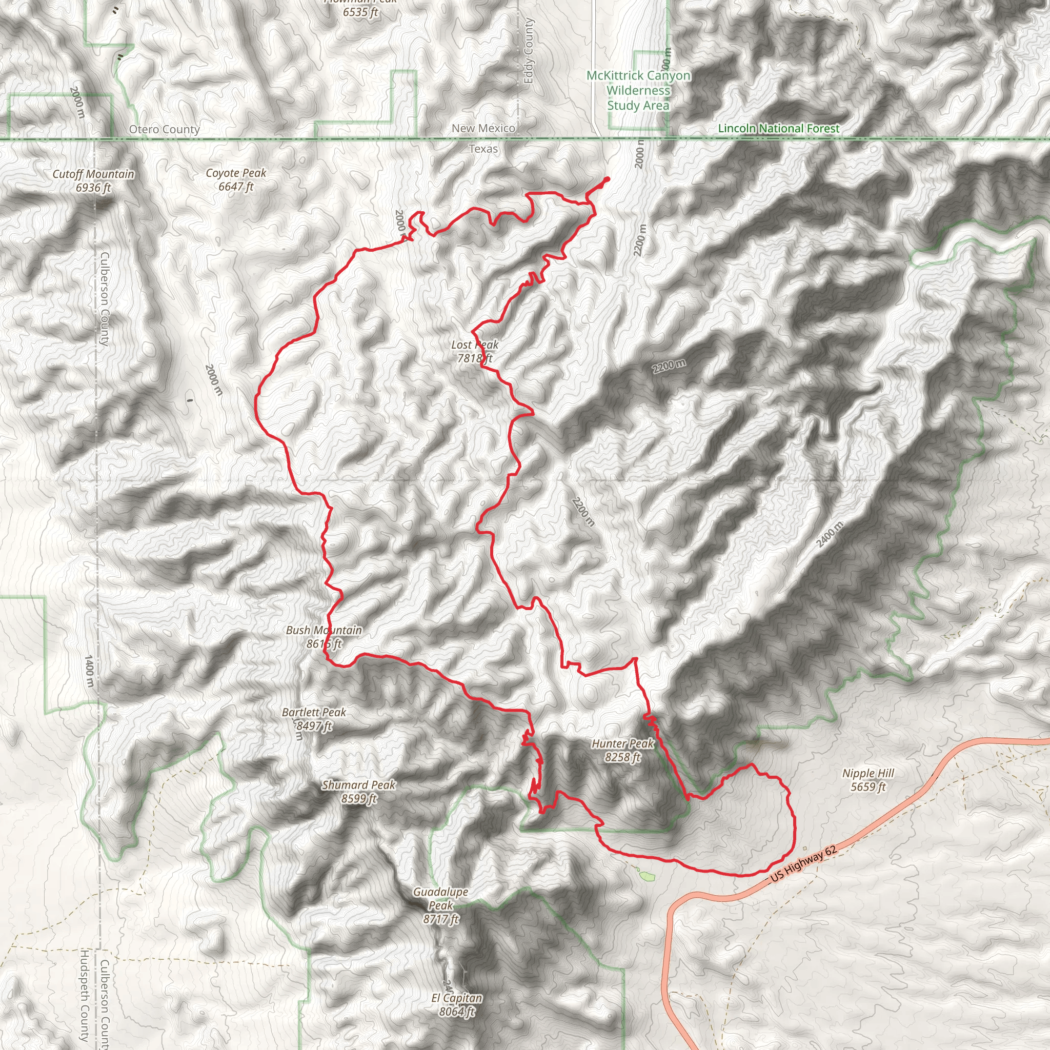
The Guadalupe State Park Loop, nestled in the rugged beauty of Culberson County, Texas, offers an adventurous trek through one of the most scenic and challenging landscapes in the state. Spanning approximately 48 kilometers (30 miles) with an elevation gain of around 2100 meters (6890 feet), this loop trail is a test of endurance and skill, categorized as difficult due to its steep ascents and rocky terrain.Getting to the TrailheadTo reach the trailhead, which is conveniently located near the Pine Springs Visitor Center, hikers can drive to 400 Pine Canyon, Salt Flat, TX 79847. There is no direct public transportation to the park, so arriving by car is the most feasible option. From the nearest towns, such as Van Horn or Carlsbad, the drive involves scenic routes that traverse the Chihuahuan Desert landscape, leading to the park's entrance.Navigating the TrailHikers can utilize the HiiKER app to navigate the trail, ensuring they stay on the correct path throughout the loop. The trail begins with a gradual ascent, winding through the foothills of the Guadalupe Mountains. As you progress, the path steepens, offering panoramic views of the surrounding desert and the prominent El Capitan peak.Landmarks and SceneryOne of the most significant landmarks along the trail is Guadalupe Peak, the highest point in Texas, which you'll encounter if you choose to take the detour to its summit. This side trip adds an additional 4.2 miles (6.8 km) round trip to your hike but rewards you with breathtaking vistas from the "Top of Texas."As you continue on the main loop, you'll traverse through diverse ecosystems, from arid desert to lush woodlands, home to a variety of wildlife including mule deer, golden eagles, and the occasional mountain lion. The trail also passes by the beautiful Smith Spring, a welcome oasis that provides a stark contrast to the desert environment.Historical SignificanceThe region is steeped in history, with the Guadalupe Mountains serving as a sacred site for the Mescalero Apache and a landmark for the Butterfield Overland Mail route in the 1850s. Hikers will find remnants of the area's past, including the Frijole Ranch, a historic homestead that now serves as a museum showcasing the human history of the Guadalupe Mountains.Flora and FaunaThe trail offers a chance to witness the diverse flora of the region, including the signature Chihuahuan Desert vegetation such as yucca, agave, and ocotillo. In higher elevations, you'll find ponderosa pine, Douglas fir, and aspen, providing a stark contrast to the desert below.Preparation and SafetyDue to the trail's difficulty and remote nature, hikers should be well-prepared with adequate water, food, and gear for changing weather conditions. It's also advisable to inform someone of your hiking plans and expected return time. Cell service can be spotty, so carrying a map and compass or a GPS device with the HiiKER app downloaded for offline use is crucial for safe navigation.Seasonal ConsiderationsThe best times to hike the Guadalupe State Park Loop are spring and fall when temperatures are milder. Summer hikes are possible but require an early start to avoid the intense midday heat. Winter can bring snow and ice, making some sections of the trail more challenging.By respecting the trail and its natural inhabitants, hikers can enjoy a fulfilling experience on the Guadalupe State Park Loop, a jewel in the crown of Texas hiking destinations.
What to expect?
Activity types
Comments and Reviews
User comments, reviews and discussions about the Guadalupe State Park Loop, Texas.
4.56
average rating out of 5
9 rating(s)

