Download
Preview
Add to list
More
13.0 km
~4 hrs 10 min
935 m
Out and Back
“Conquer the rugged Guadalupe Peak Trail for breathtaking views and a journey through rich history.”
Embarking on the Guadalupe Peak Trail offers an exhilarating journey to the "Top of Texas," where hikers can experience the highest point in the state. This challenging out-and-back trail stretches approximately 13 kilometers (about 8 miles) with an elevation gain of around 900 meters (approximately 3,000 feet), making it a demanding yet rewarding adventure.
Getting There
The trailhead is conveniently located near Culberson County, Texas, within the stunning Guadalupe Mountains National Park. For those traveling by car, the park is accessible via U.S. Highway 62/180. If you're relying on public transport, the nearest major city is El Paso, Texas, which is about 110 miles (177 kilometers) away. From El Paso, you can rent a car to reach the park, as public transport options directly to the trailhead are limited.
Trail Highlights
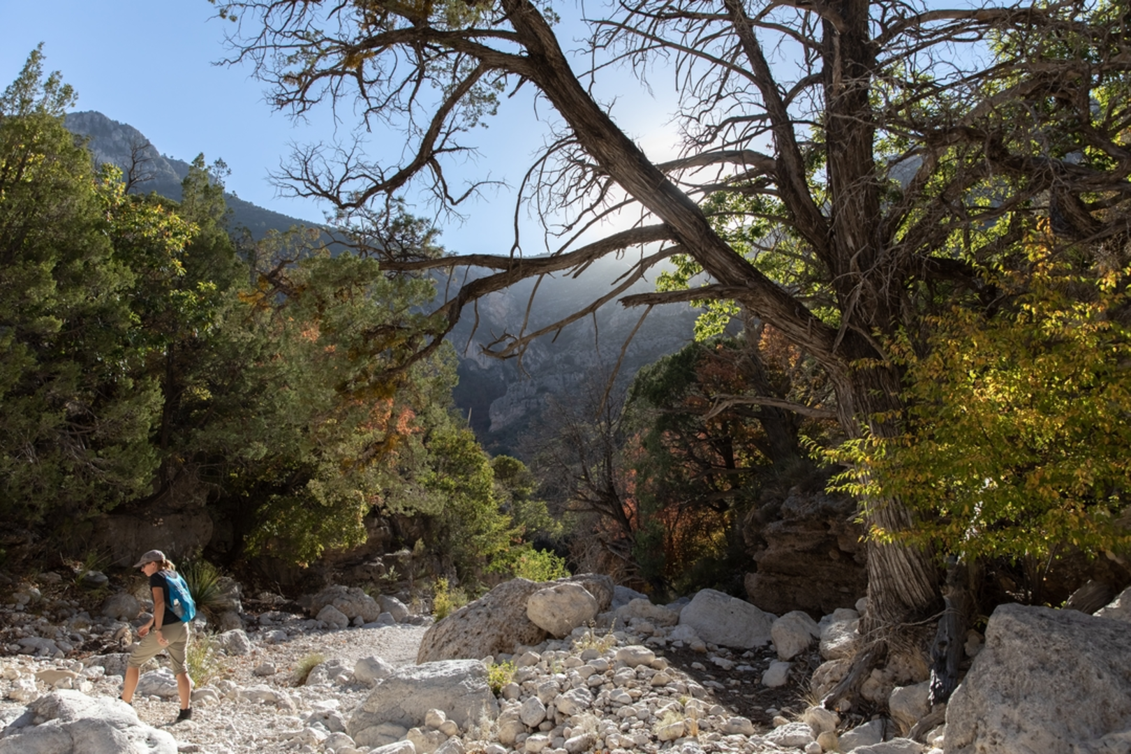
As you begin your ascent, the trail quickly introduces you to the rugged beauty of the Guadalupe Mountains. The path is well-marked and maintained, but its steep inclines and rocky terrain require careful navigation. Utilizing HiiKER can be beneficial for tracking your progress and ensuring you stay on course.
#### Flora and Fauna
The trail traverses diverse ecosystems, offering a glimpse into the unique flora and fauna of the region. You'll encounter a variety of plant life, from desert shrubs at lower elevations to ponderosa pines as you climb higher. Keep an eye out for wildlife such as mule deer, elk, and the occasional golden eagle soaring above.
#### Historical Significance
The Guadalupe Mountains hold significant historical value, having been home to Native American tribes for thousands of years. The area was also a critical route for early settlers and explorers. As you hike, consider the rich history beneath your feet, from ancient fossils embedded in the limestone to the stories of those who traversed these lands long before modern trails were established.
Reaching the Summit
The final push to the summit is steep and can be challenging, but the panoramic views from the top are unparalleled. At 2,667 meters (8,751 feet), Guadalupe Peak offers breathtaking vistas of the surrounding desert and mountains. A metal pyramid monument at the summit commemorates the Butterfield Overland Mail, a 19th-century stagecoach route that once passed through the region.
Safety and Preparation
Given the trail's difficulty rating, it's essential to be well-prepared. Bring plenty of water, as the arid climate can be dehydrating, and pack layers to accommodate changing weather conditions. Good hiking boots are a must for navigating the rocky terrain. Always check weather conditions before your hike, as sudden storms can occur.
The Guadalupe Peak Trail is a challenging yet rewarding hike that offers a unique blend of natural beauty, historical significance, and the thrill of reaching Texas's highest point.

Comments and Reviews
User comments, reviews and discussions about the Guadalupe Peak Trail, Texas.
4.83
average rating out of 5
6 rating(s)