Download
Preview
Add to list
More
7.1 km
~1 hrs 47 min
226 m
Loop
“Embark on a scenic 7 km hike through diverse landscapes and historical richness at McKinney Roughs' Colorado River Shore Loop.”
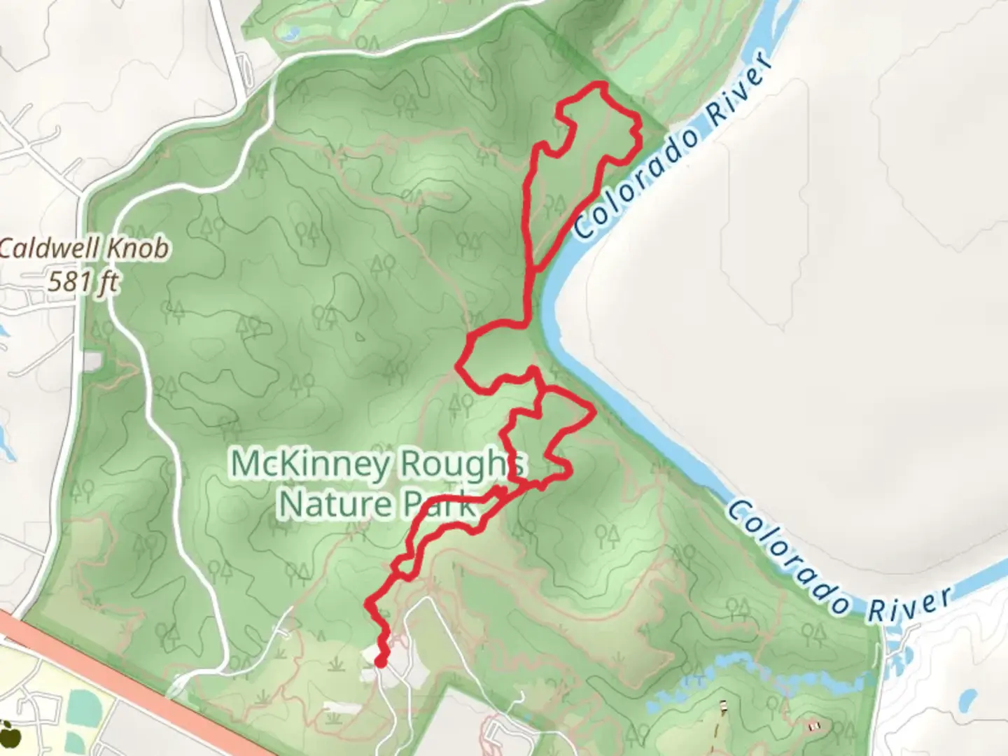
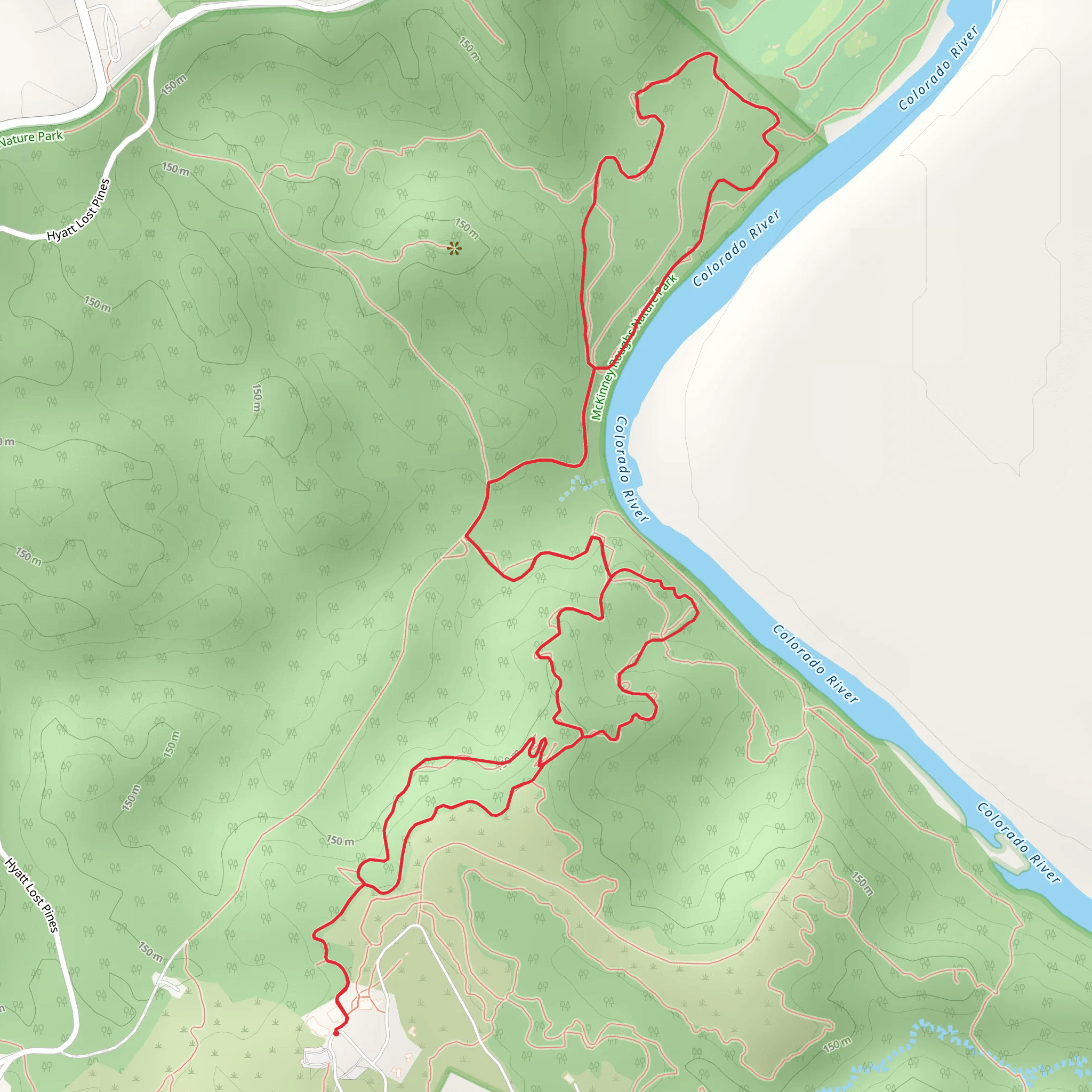
Embarking on the Colorado River Shore Loop from McKinney Roughs Nature Park, hikers can expect a journey of approximately 7 kilometers (about 4.3 miles) with an elevation gain of around 200 meters (approximately 656 feet). This loop trail, nestled near Bastrop County, Texas, offers a medium difficulty rating and provides a diverse experience through varied landscapes and ecosystems.
Getting to the Trailhead
To reach the trailhead, if you're driving, you can navigate to McKinney Roughs Nature Park, located off of State Highway 71. The park is situated between the towns of Bastrop and Cedar Creek. There is ample parking available for visitors at the nature park. For those preferring public transport, options are limited, and it's advisable to check the latest schedules and routes for any regional services that might drop you near the park entrance.
The Hike Experience
As you set out on the trail, you'll be greeted by the lush greenery of the park, which is a mix of post oak savannah, pine forests, and a riparian zone. The trail meanders through these different terrains, offering hikers a chance to observe a variety of plant and animal life. Keep an eye out for the local bird species, as the park is a haven for birdwatching.
The path will take you through a series of gentle ascents and descents. The elevation changes are moderate, but they do contribute to the trail's medium difficulty rating. Be prepared for some uneven terrain and a few steeper sections that may require a bit more exertion.
Historical Significance and Landmarks
As you hike, you'll be traversing land rich in history. The Colorado River has been a vital water source and a key factor in the settlement and development of the region. The area around McKinney Roughs Nature Park has seen various uses over the years, from agriculture to timber harvesting. The park itself is named after Thomas F. McKinney, one of the early settlers and a significant figure in Texas history.
Approximately halfway through the hike, the trail will lead you to the banks of the Colorado River. Here, you can take a moment to enjoy the serene views of the water and the surrounding landscape. The river is a central feature of the trail and provides a peaceful backdrop for a rest or a picnic.
Flora and Fauna
The diverse ecosystems along the Colorado River Shore Loop are home to a wide array of wildlife. You might spot white-tailed deer, armadillos, and even the occasional coyote. The park is also known for its wildflowers, especially in the spring when the bluebonnets and Indian paintbrushes create a vibrant tapestry of color.
Navigation and Preparation
To navigate the trail, HiiKER is an excellent tool for accessing maps and ensuring you stay on the right path. Make sure to download the trail map before you set out, as cell service can be spotty in natural areas.
Before you embark on your hike, ensure you have enough water, as Texas heat can be intense, especially in the summer months. Wearing appropriate footwear is crucial due to the varied terrain, and bringing along sunscreen and insect repellent is also recommended.
Conclusion
The Colorado River Shore Loop from McKinney Roughs Nature Park is a trail that offers a bit of everything: scenic views, historical context, and a chance to observe the rich biodiversity of the region. Whether you're a birdwatcher, a history enthusiast, or simply looking for a pleasant day hike, this trail is sure to provide an enjoyable and memorable experience.
What to expect?
Activity types
Comments and Reviews
User comments, reviews and discussions about the Colorado River Shore Loop from McKinney Roughs Nature Park, Texas.
4.57
average rating out of 5
28 rating(s)
