Download
Preview
Add to list
More
14.0 km
~4 hrs 3 min
747 m
Loop
Calfeisen Valley from Gigerwaldsee
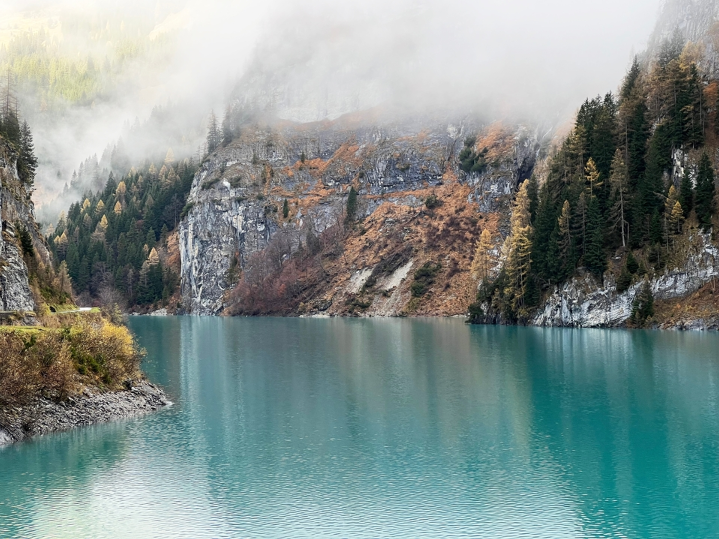
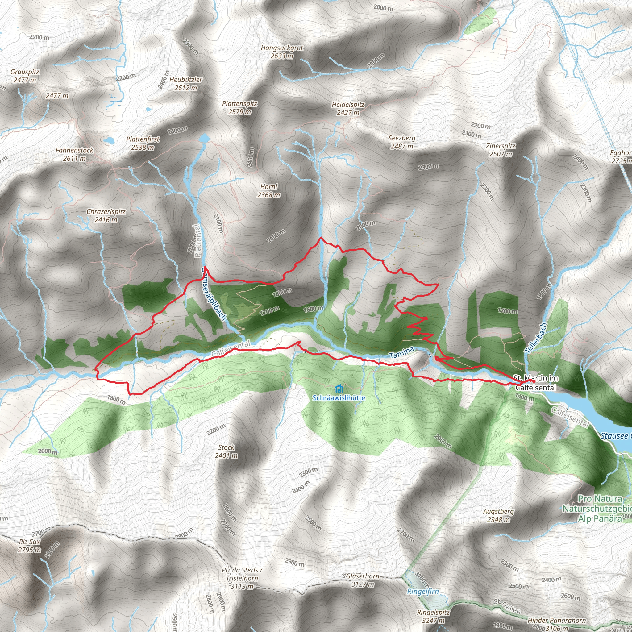
The Calfeisen Valley trail, starting near the serene Gigerwaldsee in the Wahlkreis Sarganserland region of Switzerland, offers a moderately challenging loop that spans approximately 14 kilometers (about 8.7 miles) with an elevation gain of around 700 meters (about 2297 feet). This trail is a delightful journey through the Swiss Alps, providing hikers with a blend of natural beauty, wildlife, and a touch of history.
Accessing the Trailhead
To reach the trailhead, hikers can drive to the Gigerwaldsee dam, which is the starting point of the hike. For those relying on public transportation, the nearest significant landmark is the town of Bad Ragaz. From there, one can take a bus towards Vättis, and then a connecting postal bus that goes directly to the Gigerwaldsee dam. Parking is available near the dam for those who choose to drive.
Navigating the Trail
The trail begins by skirting the edge of the Gigerwaldsee, a reservoir nestled within the mountains. As you progress, the path will lead you through a mix of dense forests and open meadows, offering a variety of landscapes to enjoy. The use of a navigation tool like HiiKER can be helpful for staying on track, as the trail can be less distinct in certain areas.
Landmarks and Natural Beauty
One of the significant landmarks along the route is the St. Martin's Chapel, an ancient church that dates back to the 14th century. This historical site provides a glimpse into the region's past and is a perfect spot for a rest and reflection.
As you ascend through the valley, you'll be treated to stunning views of the surrounding peaks and the chance to spot local wildlife, including ibex, chamois, and marmots. The trail also passes by several waterfalls and streams, adding to the serene atmosphere of the hike.
Flora and Fauna
The Calfeisen Valley is home to a rich variety of alpine flora. During the warmer months, the meadows come alive with wildflowers, including edelweiss, which is a symbol of the Alps. The diverse habitats along the trail support an array of bird species, making it a great spot for birdwatching enthusiasts.
Elevation and Terrain
The trail's elevation gain is gradual, making it accessible to hikers with a moderate level of fitness. However, some sections can be steep and may require careful footing. The highest point of the trail offers panoramic views of the valley and is a rewarding culmination of the ascent.
Preparation and Safety
Hikers should be prepared for changing weather conditions, as the mountain environment can be unpredictable. It's essential to bring appropriate gear, including waterproof clothing, sturdy hiking boots, and enough food and water for the journey. Always check the weather forecast before setting out and be prepared to turn back if conditions deteriorate.
Conclusion
The Calfeisen Valley trail from Gigerwaldsee is a medium-difficulty hike that rewards adventurers with its natural beauty, wildlife sightings, and historical landmarks. With proper preparation and respect for the trail, hikers will find this loop to be a memorable experience in the heart of the Swiss Alps.
Comments and Reviews
User comments, reviews and discussions about the Calfeisen Valley from Gigerwaldsee, Switzerland.
average rating out of 5
0 rating(s)

