The best hikes in Thun administrative district
Switzerland · 8 HiiKER Hikes
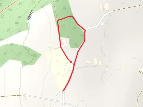
View Hikes on map


What to expect
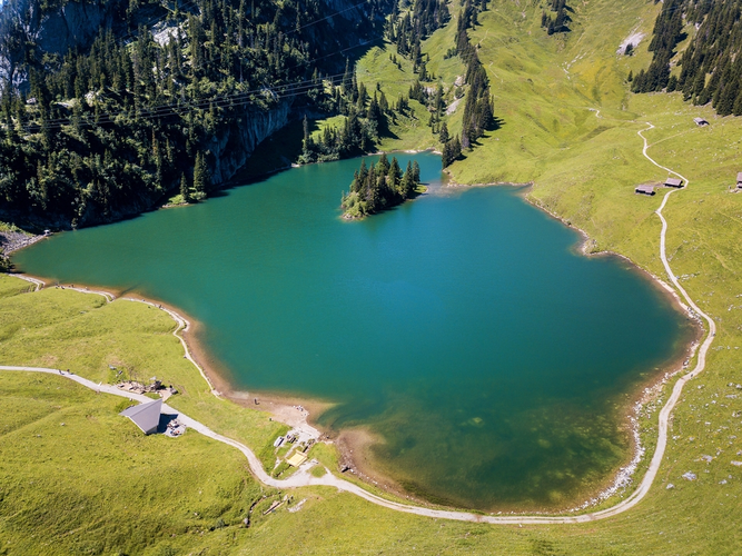
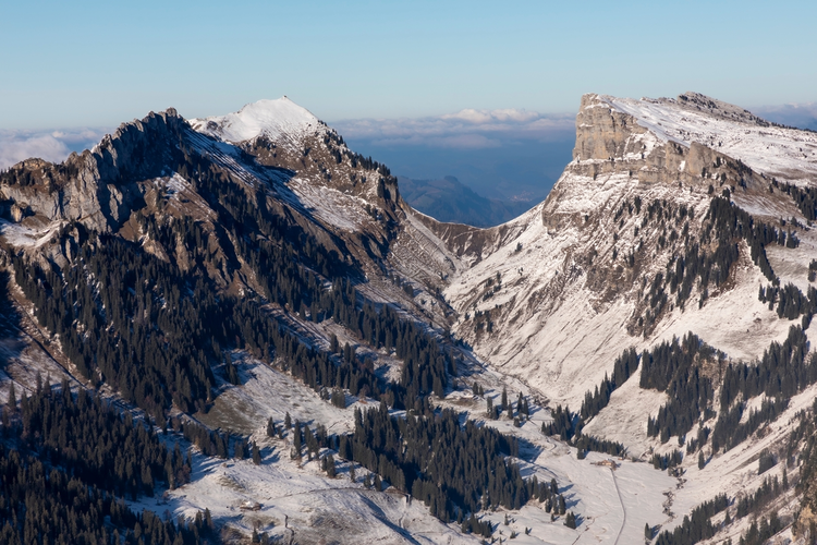
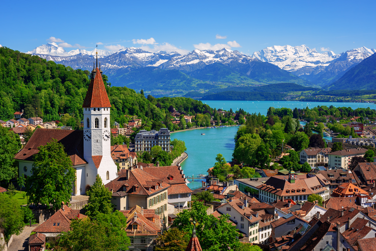
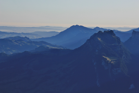
Check out some of the best hiking, walking and backpacking routes in Thun administrative district, Switzerland. The Adventsweg Höchmatt - Schwarzenegg is the most popular trail. There are trails of various difficulty levels including easy and medium. The trail with the highest elevation climb is the Stockhorn-Panoramaweg and the trail with the least amount of climbing is the River Aare from Kunstmuseum Thun. The longest trail is the Planetary Path Sirius at 12.9 km. For a shorter adventure you can try the Adventsweg Höchmatt - Schwarzenegg at 820 m. Get off line access to Viewpoint, Bus Stop, Shop, and Restaurant locations and much more with a Hiiker subscription.

Be prepared for hiking in Switzerland with the HiiKER app