Download
3D Flyover
Add to list
More
303.2 km
~12 days
4483 m
Multi-Day
“Embark on a captivating 303-kilometer Swiss adventure, from Lucerne's medieval charm to Geneva's cultural heart, amidst mountains and historical wonders.”
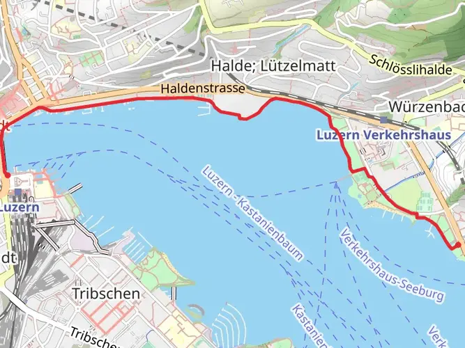
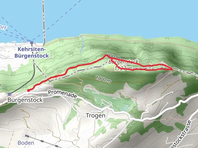
Embarking on the Camino Lucerne-Geneva trail, hikers will traverse approximately 303 kilometers (about 188 miles) of diverse Swiss landscapes, with an elevation gain of around 4400 meters (roughly 14,435 feet). This point-to-point journey begins near the picturesque city of Lucerne, a place renowned for its preserved medieval architecture and sits amid snowcapped mountains on Lake Lucerne.
Getting to the Trailhead
To reach the starting point of the trail, hikers can utilize Switzerland's efficient public transportation system. From Lucerne's main train station, Bahnhof Luzern, one can take a bus or a local train to the trailhead's vicinity. For those driving, parking is available in the city, from where you can proceed to the trailhead.
The Journey Through Nature and History
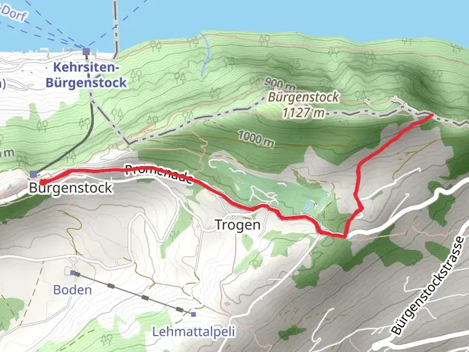
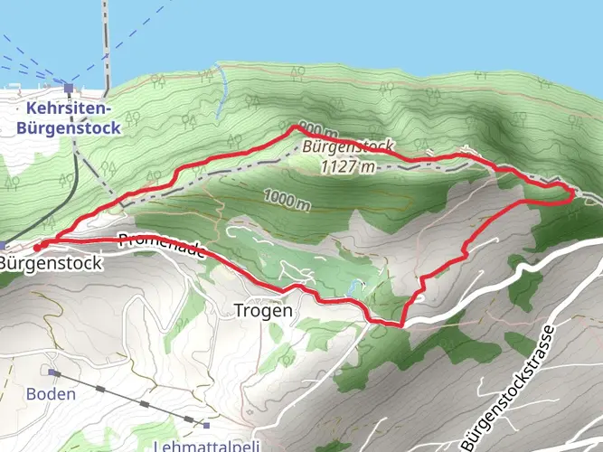
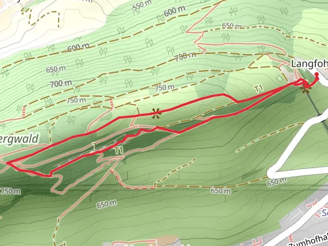
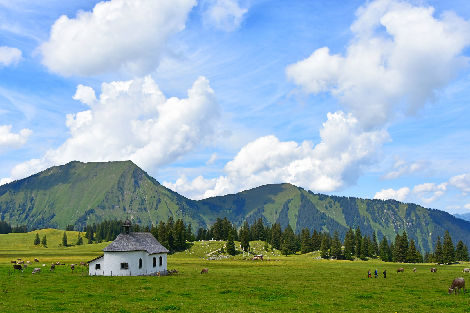
As you set out from the Lucerne area, the trail will guide you through lush meadows and rolling hills, offering stunning views of the surrounding peaks. The path meanders alongside sparkling lakes and through quaint villages where the echoes of history resonate. The region is steeped in historical significance, with the trail itself following ancient routes that have been trodden for centuries.
Landmarks and Wildlife
The trail will lead you past significant landmarks such as the Rütli Meadow, considered the birthplace of the Swiss Confederation. You'll also encounter the majestic Abbey of Einsiedeln, an important pilgrimage site with a history dating back to the Middle Ages.
As you hike, keep an eye out for the diverse wildlife that inhabits the Swiss countryside. You may spot red deer, chamois, and a variety of bird species. The flora along the route is equally impressive, with alpine flowers blooming in the higher elevations during the spring and summer months.
Navigating the Trail
For navigation, HiiKER is an excellent tool to keep you on track. It provides detailed maps and waypoints that are invaluable for a trail of this length and complexity. Make sure to download the necessary maps for offline use, as some sections of the trail may have limited cellular reception.
Elevation and Distance Breakdown
The trail's elevation gain is gradual, with the most significant ascents occurring as you approach the mountainous regions. The distance can be broken down into manageable sections, allowing for rest and resupply in the towns and villages you'll pass through. It's advisable to plan your itinerary with daily distance targets, taking into account your fitness level and hiking speed.
Preparation and Planning
Given the trail's medium difficulty rating, it's essential to prepare adequately. Ensure you have suitable gear for varying weather conditions, as the Swiss climate can be unpredictable. It's also wise to carry a first aid kit, sufficient food and water supplies, and a means of purification for refilling from natural water sources.
Cultural Experiences
The Camino Lucerne-Geneva is not only a physical journey but a cultural one as well. The trail offers a chance to immerse yourself in the local culture, sample Swiss cuisine, and interact with the friendly locals. Take the opportunity to learn about the traditions and customs of the regions you're passing through, adding depth to your hiking experience.
By the time you reach Geneva, you will have not only completed a significant hiking accomplishment but also have gained an intimate understanding of the natural beauty and cultural richness that Switzerland has to offer.

Comments and Reviews
User comments, reviews and discussions about the Camino Lucerne-Geneva, Switzerland.
4.67
average rating out of 5
6 rating(s)