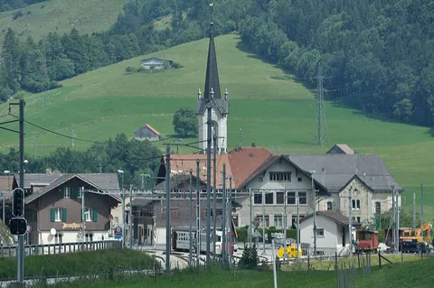
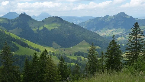
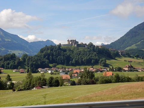
The best hikes in Gruyère
Switzerland · 14 HiiKER Hikes
View Hikes on map

What to expect
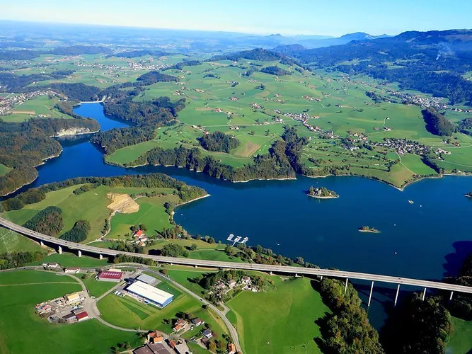
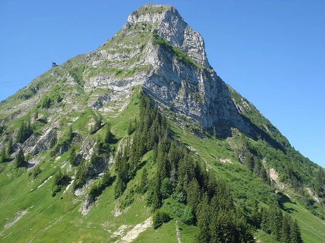
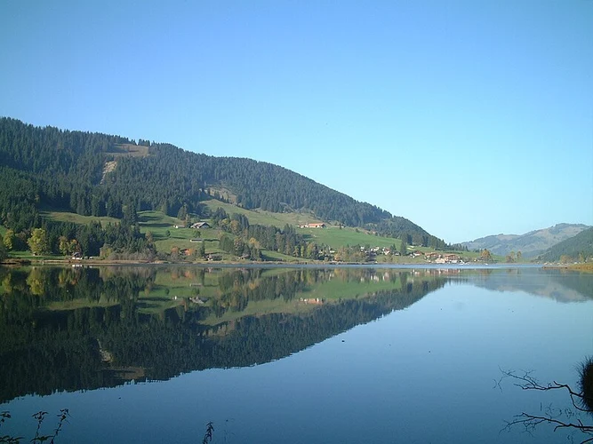
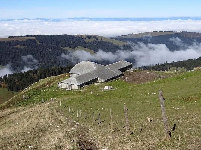
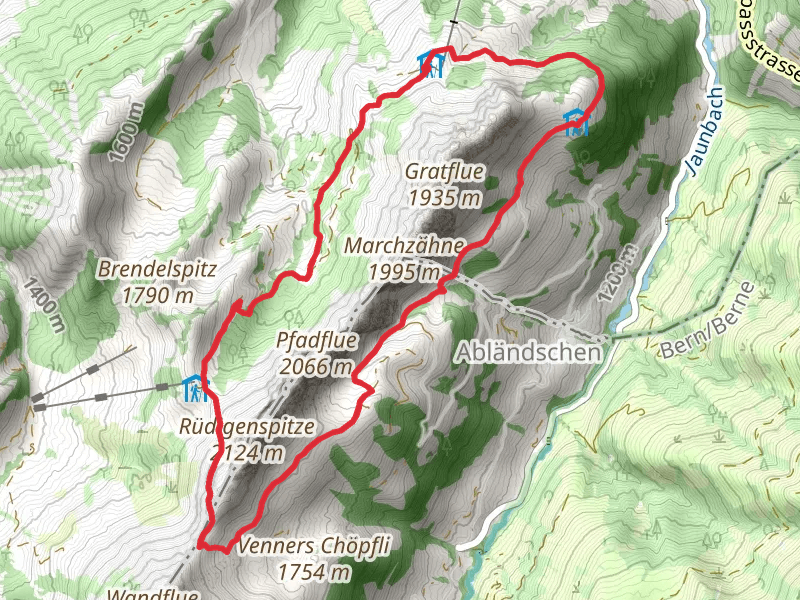
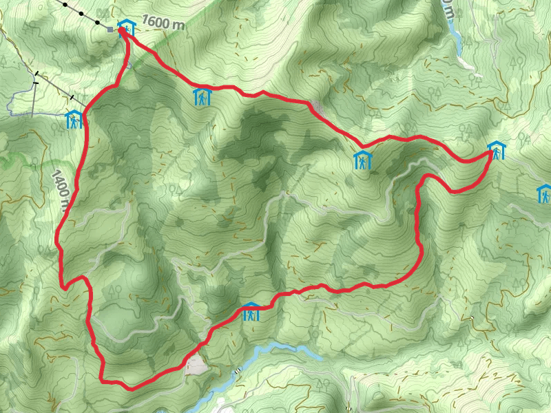
Check out some of the best hiking, walking and backpacking routes in Gruyère, Switzerland. The Teysachaux Ridge Trail is the most popular trail. The trail with the highest elevation climb is the Schwarzsee - Route Riggisalp to Kaiseregg Mountain and the trail with the least amount of climbing is the Sentier du Lac de la Gruyère. The longest trail is the Fribourg en diagonale at 66.8 km. For a shorter adventure you can try the Moléson Village to Gruyères Trail at 6.6 km. Get off line access to Town, Peak, Bus Stop, and Restaurant locations and much more with a Hiiker subscription.

Be prepared for hiking in Switzerland with the HiiKER app