The best hikes in Escholzmatt-Marbach
Switzerland · 13 HiiKER Hikes
View Hikes on map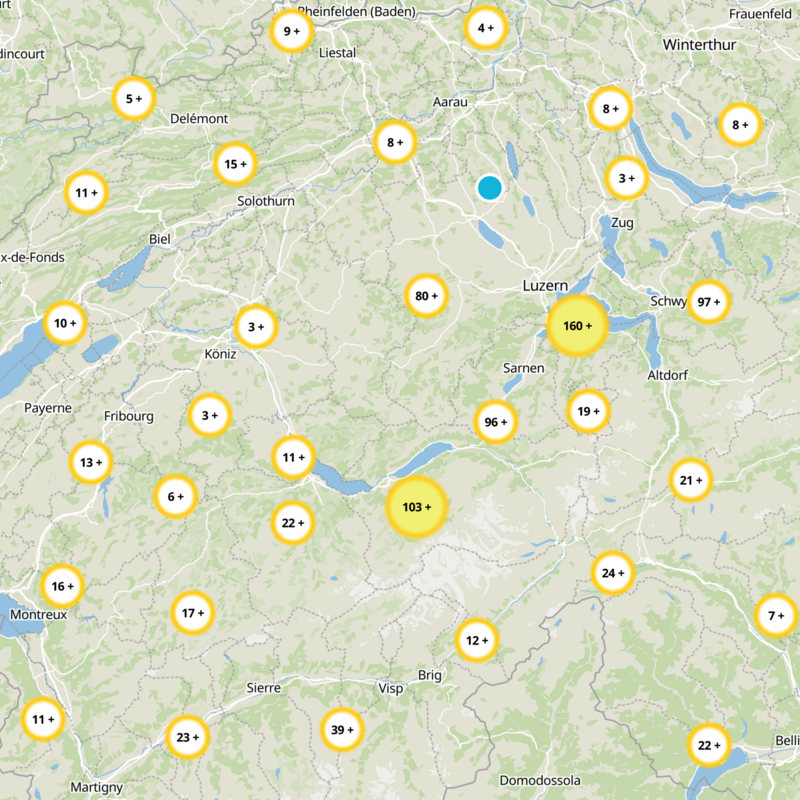


What to expect
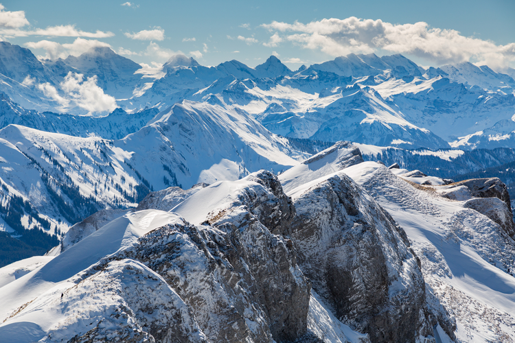
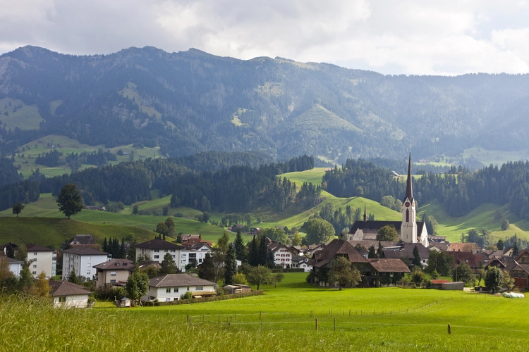
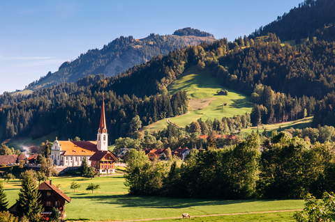
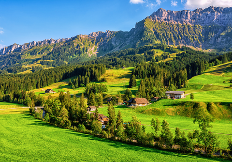
Check out some of the best hiking, walking and backpacking routes in Escholzmatt-Marbach, Switzerland. The Marbachegg - Kemmeriboden is the most popular trail. The trail with the highest elevation climb is the Escholzmatt - Beichle - Flühli and the trail with the least amount of climbing is the Wiggen – Marbach. The longest trail is the Escholzmatt - Beichle - Flühli at 16.2 km. For a shorter adventure you can try the Bretzeli Foto-OL auf der Marbachegg at 1.9 km. Get off line access to Restaurant, Bus Stop, Water, and Peak locations and much more with a Hiiker subscription.

Be prepared for hiking in Switzerland with the HiiKER app