The best hikes in Distretto di Bellinzona
Switzerland · 5 HiiKER Hikes
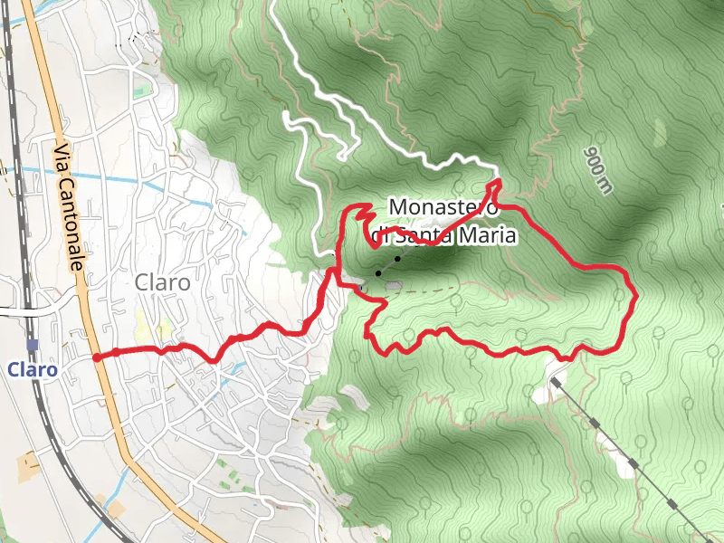
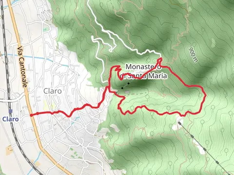
View Hikes on map


What to expect
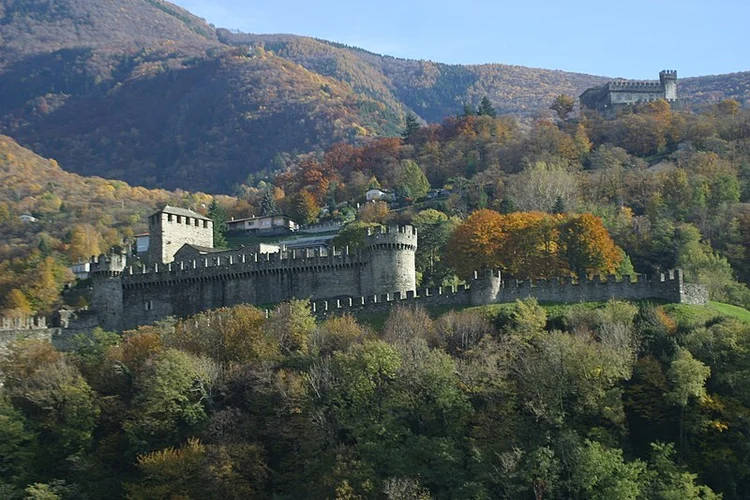
Check out some of the best hiking, walking and backpacking routes in Distretto di Bellinzona, Switzerland. The Magadino Plain - Village of Curzútt Loop Trail is the most popular trail. The trail with the highest elevation climb is the Magadino Plain - Village of Curzútt Loop Trail and the trail with the least amount of climbing is the Castelgrande, Castello di Montebello and Castello di Sasso Corbaro. The longest trail is the Castello di Montebello and Castello di Sasso Carbaro Loop from Bellinzona at 9.5 km. For a shorter adventure you can try the Castelgrande, Castello di Montebello and Castello di Sasso Corbaro at 2.9 km. Get off line access to Water, Pub, Shop, and Restaurant locations and much more with a Hiiker subscription.

Be prepared for hiking in Switzerland with the HiiKER app