Download
Preview
Add to list
More
471.4 km
~23 days
9039 m
Multi-Day
“Embark on Kungsleden North, a stunning 471-km odyssey through Swedish Lapland's wild heart.”
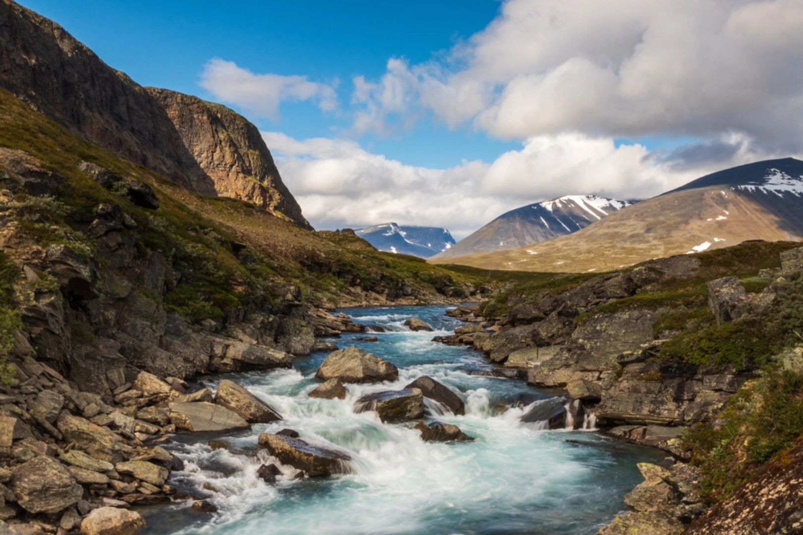
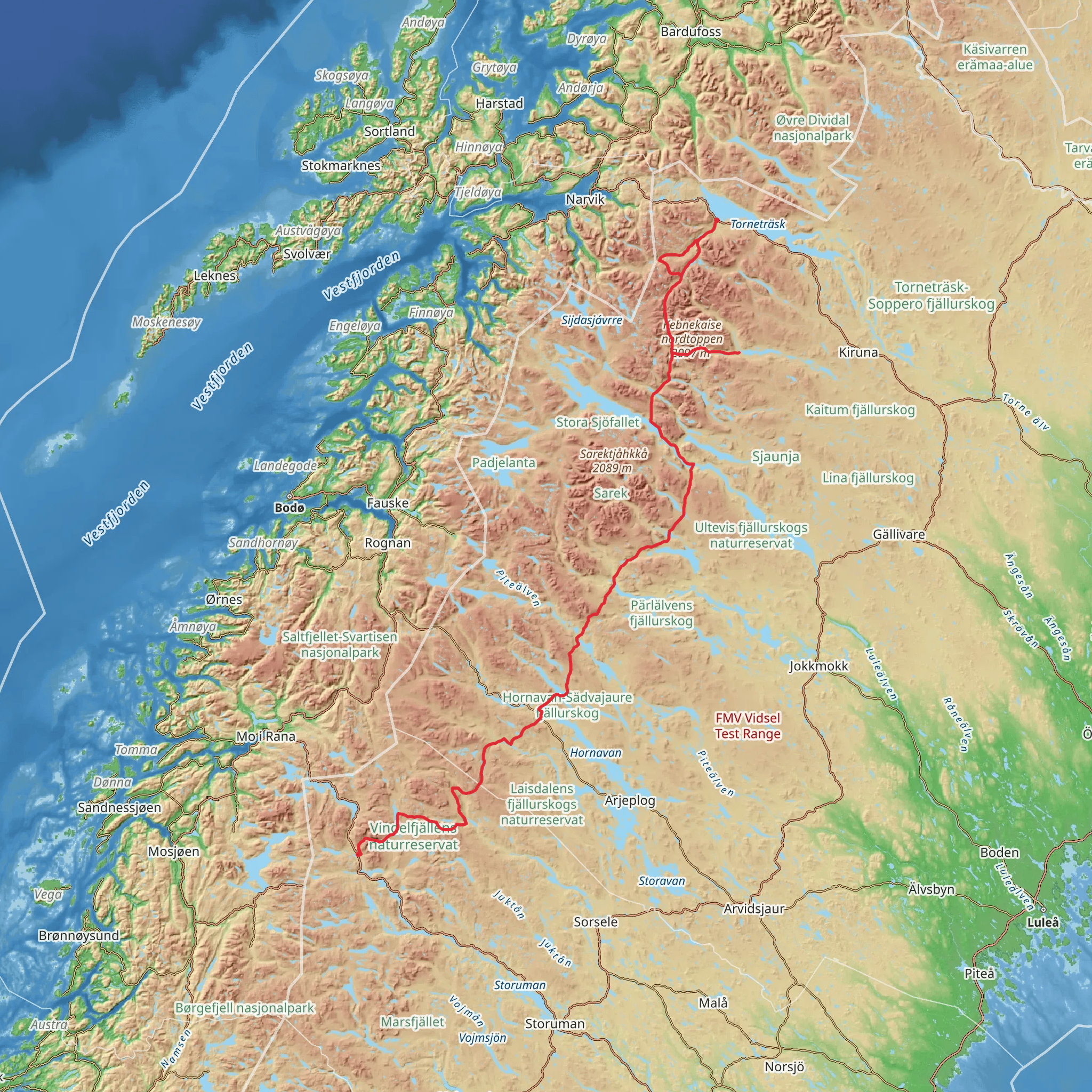
Kungsleden North, also known as The King's Trail, is a spectacular trek that stretches approximately 471 kilometers (about 293 miles) through the vast wilderness of Swedish Lapland. With an elevation gain of around 9000 meters (roughly 29,500 feet), hikers can expect a journey that traverses through diverse landscapes, from lush valleys to stark, Arctic tundra.
Getting to the Trailhead
The trailhead for Kungsleden North is situated near Kiruna kommun, a region accessible by both public transport and car. Those opting for public transportation can take a train or bus to Kiruna, then continue with local buses or taxi services to the starting point. For those driving, parking is available near the trailhead, but it's important to check for any parking fees or regulations.
The Journey Begins
Setting out from the vicinity of Kiruna, the trail leads adventurers through birch forests and alongside pristine rivers, offering a gentle introduction to the subarctic landscape. The path is well-marked, and hikers can rely on HiiKER for digital navigation to ensure they stay on course.
Landmarks and Natural Beauty
As you progress, the trail unveils a series of natural landmarks. One of the first significant points is the Tjäktja Pass, the highest point along Kungsleden, offering panoramic views of the surrounding mountains. The trail also passes by the majestic Kebnekaise, Sweden's highest peak, which can be seen in the distance.
Wildlife and Flora
The region is home to a variety of wildlife, including reindeer, which are commonly sighted grazing in the valleys. Arctic foxes and a range of bird species also inhabit the area. The flora is equally impressive, with wildflowers blooming in the short summer season, adding splashes of color to the green and brown tapestry of the tundra.
Historical Significance
Kungsleden has a rich history, originally established as a tourism trail in the early 20th century. It cuts through the ancestral lands of the Sami people, the indigenous inhabitants of the region, who have herded reindeer across these lands for centuries. Hikers will encounter Sami villages and historical sites that offer a glimpse into the area's cultural heritage.
Accommodations and Supplies
Along the trail, there are a series of huts and cabins operated by the Swedish Tourist Association (STF), providing shelter and basic amenities. These are spaced approximately a day's hike apart, allowing for manageable segments of the journey. It's advisable to carry enough food and supplies between these points, although some huts offer the opportunity to purchase provisions.
Preparing for the Hike
Given the trail's length and remote nature, hikers should be well-prepared with appropriate gear for varying weather conditions. Waterproof clothing, sturdy hiking boots, and a reliable sleeping bag are essential. It's also important to be prepared for the absence of cell service in many areas, making a tool like HiiKER invaluable for offline maps and trail information.
Navigating the Trail
The trail is traditionally hiked from north to south, starting near Abisko and ending in Hemavan. The path is divided into sections, each offering unique challenges and scenery. Signage and cairns along the route aid in navigation, but carrying a detailed map or using HiiKER's digital maps is recommended for safety and to enhance the hiking experience.
Conclusion
Kungsleden North is a journey through one of Europe's last great wildernesses, offering solitude, breathtaking landscapes, and a deep connection with nature. Whether you're a seasoned hiker or looking for a new adventure, this trail promises an unforgettable experience. Remember to respect the environment and leave no trace as you explore this magnificent part of the world.
Comments and Reviews
User comments, reviews and discussions about the Kungsleden North, Sweden.
4.88
average rating out of 5
17 rating(s)

