Download
Preview
Add to list
More
315.8 km
~21 days
8664 m
Multi-Day
“Journey through Andalucía's ancient, biodiverse heartlands on the GR 247, an immersive medium-difficulty hiking odyssey.”
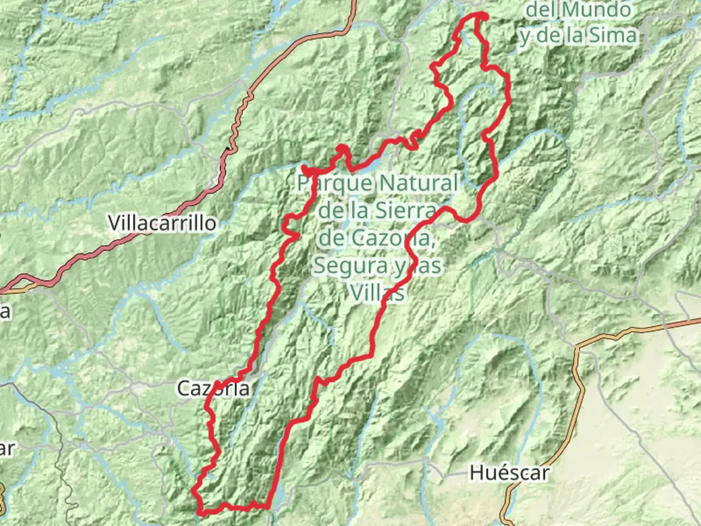
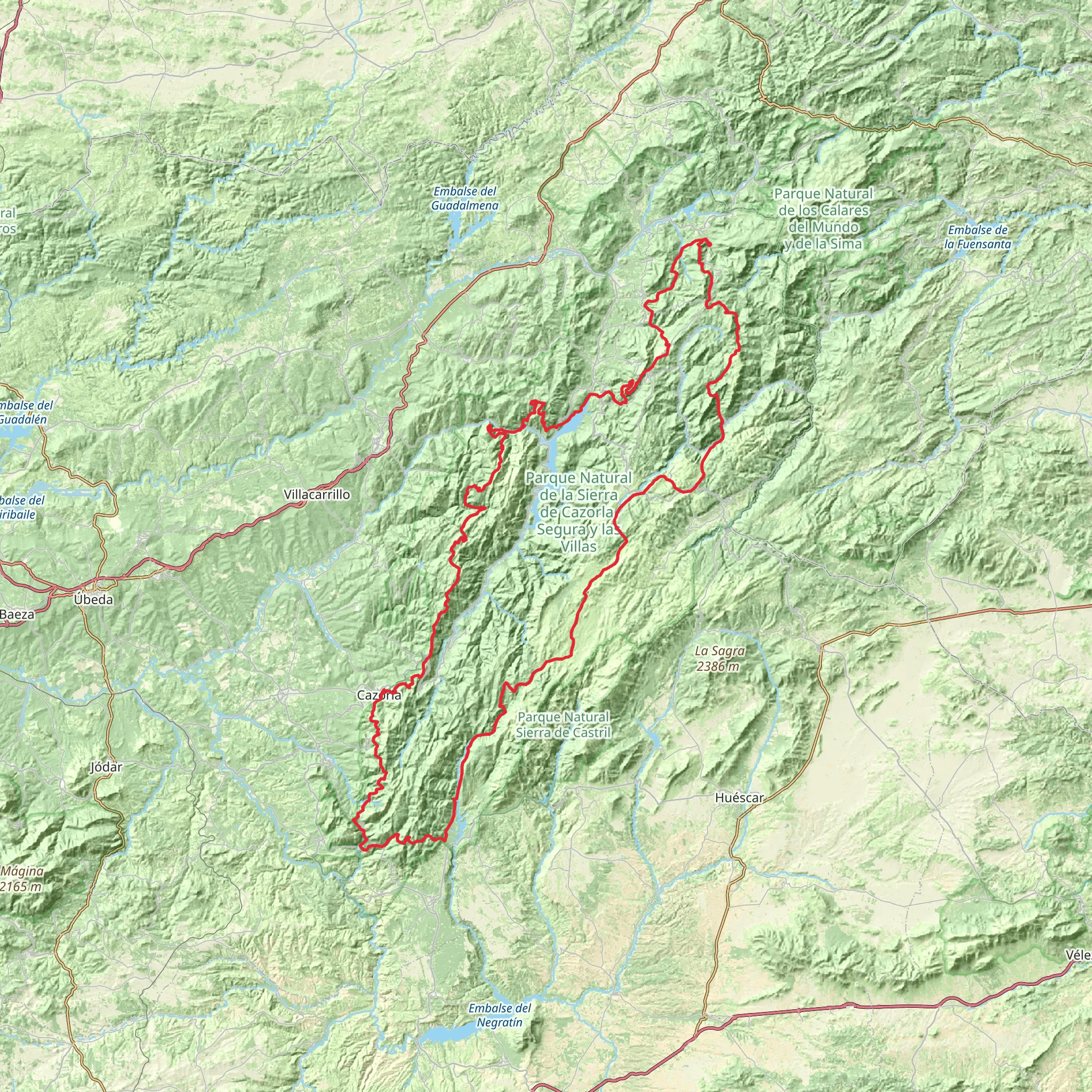
Embarking on the GR 247 Bosques del Sur trail, you'll traverse the heart of the Sierras de Cazorla, Segura y Las Villas Natural Park in Andalucía, Spain. This extensive loop, spanning approximately 316 kilometers (about 196 miles) with an elevation gain of around 8600 meters (roughly 28,215 feet), offers a medium difficulty rating, making it accessible to hikers with a reasonable level of fitness and experience.
Getting to the Trailhead
The trailhead is located near the town of Siles, which can be reached by car or public transport. If driving, take the A-6207 road that leads directly into Siles, where you can find parking areas close to the trail's starting point. For those preferring public transport, buses run to Siles from larger cities such as Jaén and Albacete. Once in Siles, follow the signs directing you to the GR 247 trailhead.
The Journey Through Nature
As you set out on your hike, the path will lead you through diverse landscapes, including lush forests, rocky outcrops, and serene rivers. The trail is well-marked with the characteristic white and red stripes of long-distance GR routes, and using the HiiKER app will help you stay on track and provide real-time navigation.
Historical Significance
The region is steeped in history, with evidence of human presence dating back to prehistoric times. Along the route, you'll encounter ancient castles, watchtowers, and remnants of old settlements that tell the story of the area's past inhabitants and their relationship with the land.
Flora and Fauna
The natural park is a biodiversity hotspot, home to a variety of wildlife including deer, wild boar, and the elusive Iberian lynx. Birdwatchers will delight in the opportunity to spot golden eagles and griffon vultures soaring above. The trail also winds through forests of pine, oak, and juniper, showcasing the rich flora of the region.
Landmarks and Points of Interest
Approximately halfway through the hike, near the 158-kilometer (98-mile) mark, you'll reach the highest point at Pico Banderillas, which stands at an elevation of 1993 meters (6542 feet). The views from here are breathtaking, offering a panoramic vista of the surrounding mountains and valleys.
Accommodation and Resupply Points
Throughout the trail, there are designated camping areas and refuges where you can rest and replenish your supplies. The towns of Segura de la Sierra and Hornos de Segura are notable resupply points, where you can also explore local cuisine and culture.
Preparation and Safety
Before setting out, ensure you have adequate gear, including sturdy hiking boots, weather-appropriate clothing, and a reliable map or navigation tool like HiiKER. It's also wise to carry a first-aid kit, sufficient water, and extra food. Given the trail's length and remote sections, it's recommended to inform someone of your itinerary and expected return time.
Seasonal Considerations
The best times to hike the GR 247 are spring and autumn when the weather is mild, and the natural scenery is at its most vibrant. Summers can be extremely hot, and winters may bring snow to the higher elevations, so plan accordingly.
By preparing well and respecting the natural environment, your journey on the GR 247 Bosques del Sur trail will be a memorable adventure through one of Spain's most enchanting landscapes.
Comments and Reviews
User comments, reviews and discussions about the GR 247 Bosques del Sur - Andalucía, Spain.
average rating out of 5
0 rating(s)
