Download
Preview
Add to list
More
19.0 km
~2 days
671 m
Multi-Day
“Embark on the Route of the Sorreigs PR C 46, a historical and nature-rich medium-difficulty trek through Catalonia's heartland.”
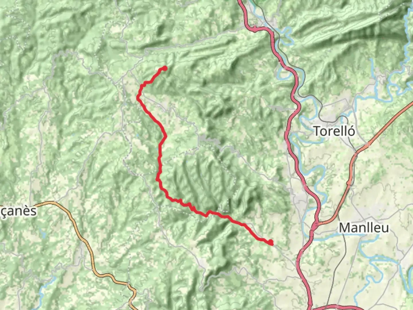
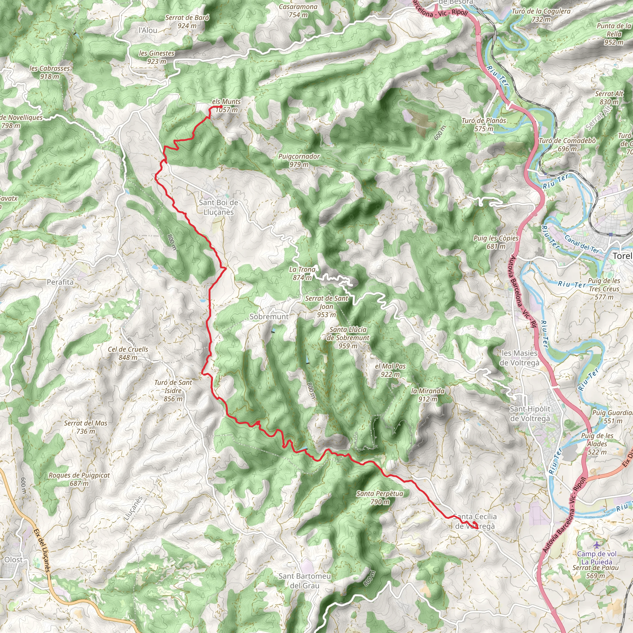
The Route of the Sorreigs PR C 46 is a captivating journey through the diverse landscapes of Catalonia, starting near the quaint village of Santa Cecília De Voltregà. This point-to-point trail spans approximately 19 kilometers (about 11.8 miles) and features an elevation gain of around 600 meters (roughly 1968 feet), offering a medium difficulty level that is suitable for hikers with some experience.
Getting to the Trailhead To reach the trailhead, hikers can drive to the vicinity of Santa Cecília De Voltregà, where parking is available. For those preferring public transport, buses from nearby towns frequently stop in Santa Cecília De Voltregà, from where the trailhead is accessible by a short walk.
Trail Overview The journey begins with a gentle ascent through mixed forests, where the dappled sunlight filters through the canopy of oak and pine trees. The path meanders alongside the Sorreigs stream, which is a constant companion during the initial kilometers. The sound of flowing water and the occasional sight of small waterfalls create a serene hiking experience.
Historical Significance As hikers progress along the trail, they will encounter remnants of the region's rich history. The area is dotted with old farmhouses and stone structures that tell the story of a pastoral way of life that has existed here for centuries. The trail also offers glimpses of the region's agricultural heritage, with terraced fields and ancient irrigation channels.
Flora and Fauna The diverse habitats along the route support a variety of wildlife. Birdwatchers may spot species such as the European robin, the blackcap, and the Griffon vulture soaring high above. The undergrowth is home to a range of plant species, including wildflowers and aromatic herbs that add a splash of color and fragrance to the hike, especially in the spring and summer months.
Navigating the Trail Hikers can rely on the HiiKER app to navigate the trail, ensuring they stay on the correct path and can anticipate upcoming changes in terrain or elevation. The app provides detailed maps and trail information that can be accessed even when offline, which is particularly useful in areas with limited cell reception.
Key Landmarks At around the halfway point, the trail reaches its highest elevation, offering panoramic views of the surrounding countryside. The descent from this vantage point is gradual, leading through more shaded woodland and eventually opening up to cultivated fields and vineyards.
Approaching the End As the trail approaches its end, hikers will pass through several small villages, each with its own charm. These villages are perfect spots to take a break and enjoy some local cuisine or refreshments before completing the final stretch of the hike.
Preparation Tips Hikers should come prepared with adequate water, as there are limited sources along the route, especially during the drier months. Sturdy hiking boots are recommended due to the varied terrain, which includes rocky paths and loose soil. It's also advisable to bring layers of clothing, as temperatures can vary with elevation and time of day.
Remember to respect the natural environment by staying on marked trails and disposing of waste properly. This ensures the preservation of the area's natural beauty for future visitors.
Comments and Reviews
User comments, reviews and discussions about the Route of the Sorreigs PR C 46, Spain.
average rating out of 5
0 rating(s)
