Download
Preview
Add to list
More
17.5 km
~2 days
705 m
Multi-Day
“Embark on the historic PR CV 020 trail for a medium-difficulty hike through Spain's scenic Aitana range.”
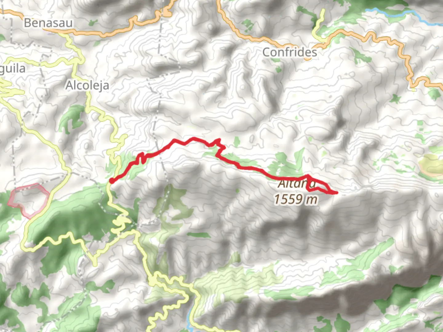
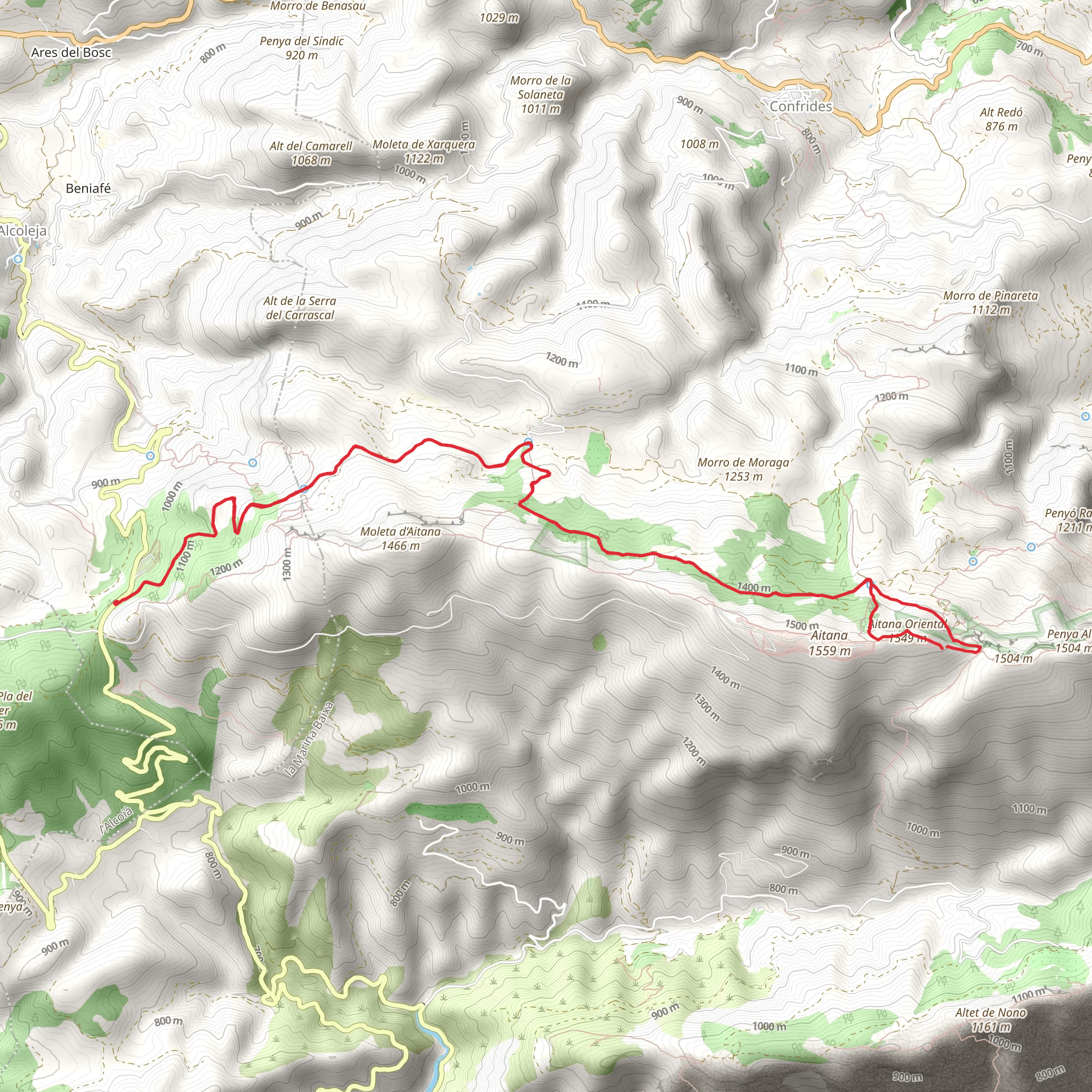
The Tudons Pass to Aitana Summit trail, marked as PR CV 020, offers a rewarding loop hike that begins near the quaint village of Alcoleja, Spain. This trail spans approximately 18 kilometers (about 11 miles) and features an elevation gain of roughly 700 meters (around 2300 feet), presenting a medium difficulty level that is suitable for hikers with some experience.
Getting to the Trailhead
To reach the trailhead by car, navigate to the parking area close to Alcoleja, which is accessible via the CV-70 road. For those preferring public transport, options may be limited, but checking local bus services to Alcoleja or nearby towns and arranging a taxi to the trailhead could be a viable alternative.
The Hike
Starting from the trailhead, the path ascends through a landscape dotted with Mediterranean flora, including aromatic herbs like rosemary and thyme, and a variety of pine trees. The initial ascent is steady, offering views of the surrounding valleys and the impressive Puig Campana mountain to the east.
As you progress, the trail becomes more rugged, with rocky outcrops and a series of switchbacks that lead to the Tudons Pass. This area is steeped in history, having been a strategic crossing point and offering panoramic vistas of the surrounding terrain.
Wildlife and Nature
The region is home to a diverse range of wildlife. Keep an eye out for Spanish ibex that roam the rocky slopes, as well as birds of prey such as eagles and vultures circling overhead. The higher elevations may also reveal unique alpine species and an array of butterflies during the warmer months.
Historical Significance
The Aitana mountain range has a rich history, with evidence of Iberian and Roman occupation in the area. The summit of Aitana itself has served as a lookout point throughout the centuries, and the trail may pass by remnants of old fortifications and terraced agricultural lands that tell the story of the region's past.
Summit Ascent
The final push to the summit of Aitana is the most challenging part of the hike, with a steep climb that requires good footing. Upon reaching the top, at an elevation of 1558 meters (5112 feet), hikers are rewarded with breathtaking 360-degree views. On a clear day, you can see across to the Balearic Islands.
Descent and Loop Completion
The descent follows a different path, looping back towards the starting point and offering a change of scenery. The downward trail is less steep and passes through a series of terraces and past a spring, which is a good spot to refill water bottles.
Navigation
For navigation purposes, the HiiKER app is a reliable tool to use on this trail. It provides detailed maps and waypoints that can help hikers stay on the right path and manage their progress throughout the hike.
Preparation
Hikers should be well-prepared with adequate water, especially during the summer months, as well as sun protection and sturdy hiking boots. The weather can change rapidly at higher elevations, so it's advisable to carry layers and be prepared for cooler conditions at the summit.
Conclusion
The Tudons Pass to Aitana Summit trail offers a diverse and enriching hiking experience, combining natural beauty, wildlife encounters, and a touch of history. With its medium difficulty rating, it's a satisfying challenge for those looking to explore the heights of the Aitana mountain range.
Comments and Reviews
User comments, reviews and discussions about the Tudons Pass - Aitana Summit PR CV 020, Spain.
average rating out of 5
0 rating(s)
