Download
Preview
Add to list
More
3.0 km
~51 min
161 m
Loop
“Explore the 3 km Skyline and Amohitheater Loop, showcasing Black Hills' beauty and rich history.”
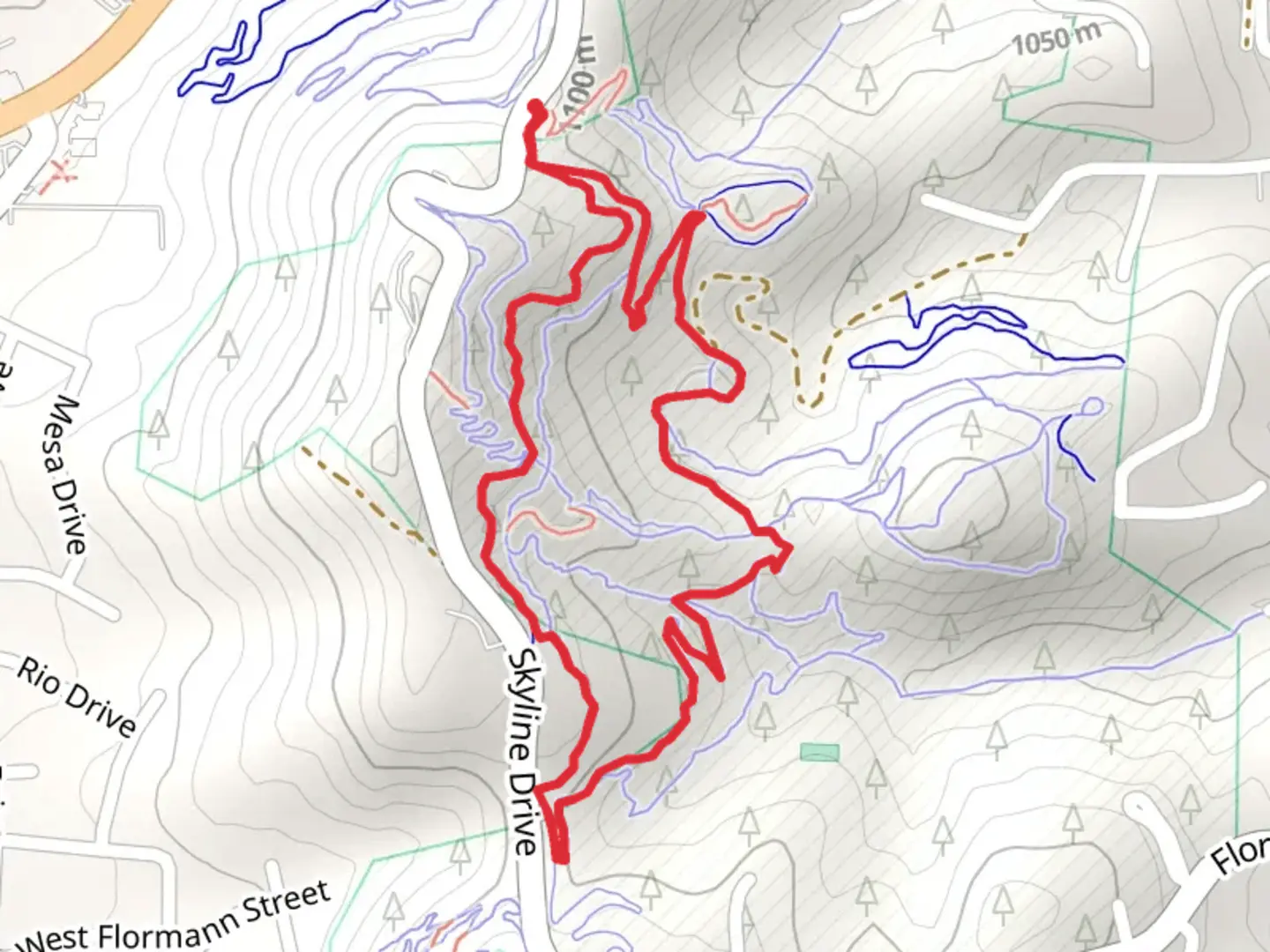
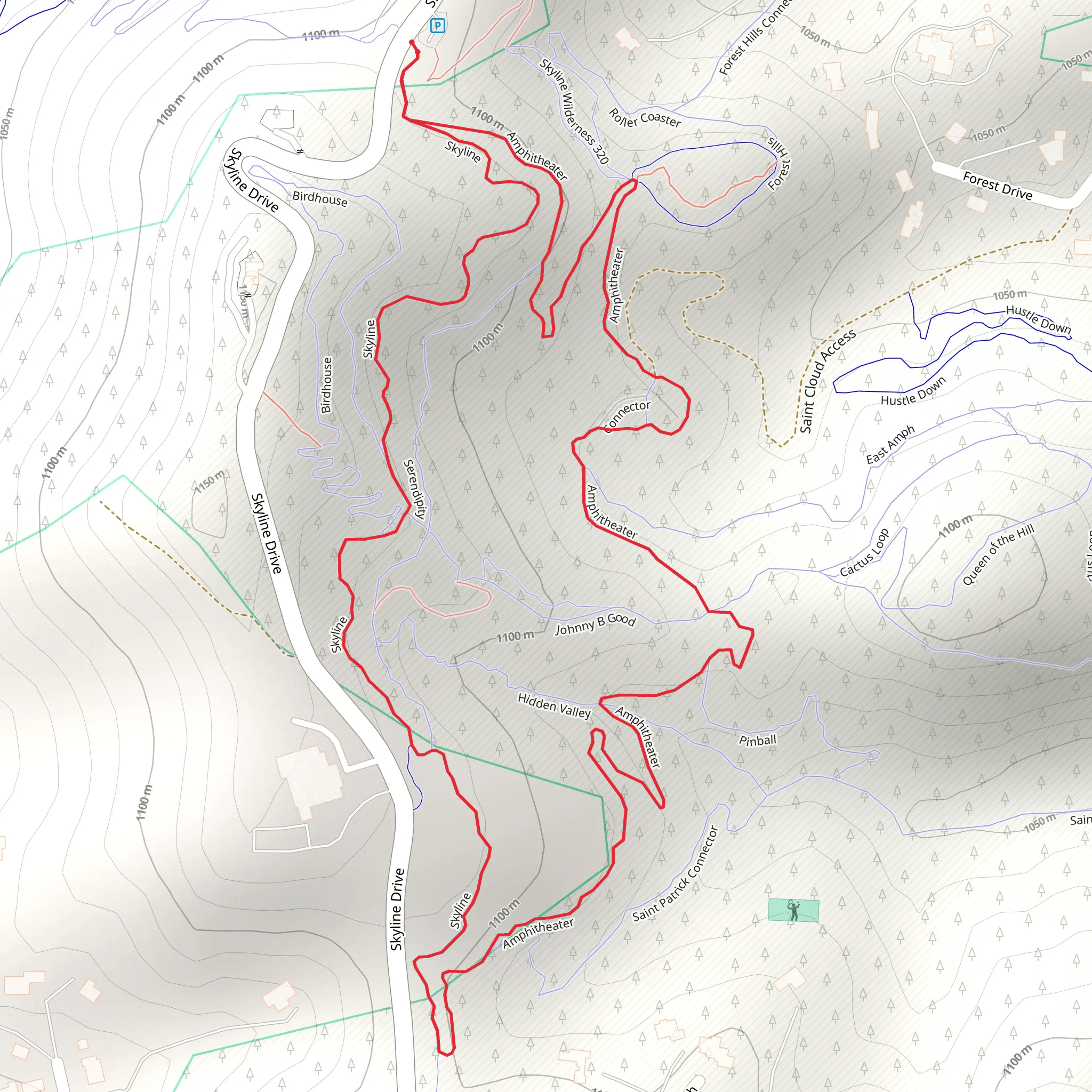
Starting your adventure near Pennington County, South Dakota, the Skyline and Amohitheater Loop is a captivating 3 km (1.86 miles) trail with an elevation gain of around 100 meters (328 feet). This loop trail is rated as medium difficulty, making it accessible for most hikers with a moderate level of fitness.### Getting There To reach the trailhead, you can drive or use public transport. If you're driving, head towards Skyline Drive in Rapid City, South Dakota. The trailhead is conveniently located near this well-known road. For those using public transport, Rapid City is serviced by several bus routes, and you can take a taxi or rideshare service from the city center to the trailhead.### Trail Overview The loop begins with a gentle ascent, offering a gradual introduction to the terrain. As you start, you'll be surrounded by the lush greenery of the Black Hills National Forest. The initial 0.5 km (0.31 miles) of the trail is relatively easy, allowing you to acclimate to the surroundings.### Significant Landmarks and Nature As you progress, you'll encounter the first significant landmark, the Amohitheater, around the 1 km (0.62 miles) mark. This natural amphitheater is a stunning geological formation, perfect for a short break and some photography. The rock formations here are a testament to the region's rich geological history, shaped over millions of years.Continuing on, the trail begins to climb more steeply, gaining approximately 50 meters (164 feet) in elevation over the next 0.5 km (0.31 miles). This section can be a bit challenging, but the effort is well worth it. Keep an eye out for local wildlife, including deer and various bird species that inhabit the area.### Historical Significance The Black Hills region is steeped in history, with significant cultural importance to the Lakota Sioux. As you hike, take a moment to appreciate the historical context of the land you're traversing. The area was also a hotspot during the Black Hills Gold Rush in the late 19th century, adding another layer of historical intrigue.### Navigation and Safety For navigation, it's highly recommended to use the HiiKER app, which provides detailed maps and real-time updates. The trail is well-marked, but having a reliable navigation tool ensures you stay on track and can enjoy your hike without any worries.### Final Stretch The final 1 km (0.62 miles) of the loop descends gradually, offering panoramic views of the surrounding landscape. This section is less strenuous, allowing you to relax and take in the beauty of the Black Hills. As you near the end of the trail, you'll loop back to the starting point on Skyline Drive, completing your 3 km (1.86 miles) journey.### Wildlife and Flora Throughout the hike, you'll be immersed in the diverse flora of the Black Hills, including ponderosa pines and various wildflowers, depending on the season. The area is also home to a variety of wildlife, so keep your eyes peeled for sightings of deer, rabbits, and an array of bird species.This trail offers a perfect blend of natural beauty, historical significance, and moderate physical challenge, making it a must-visit for any hiking enthusiast exploring South Dakota.
What to expect?
Activity types
Comments and Reviews
User comments, reviews and discussions about the Skyline and Amohitheater Loop, South Dakota.
4.49
average rating out of 5
182 rating(s)
