Download
Preview
Add to list
More
4.1 km
~50 min
20 m
Loop
“Embark on a scenic, accessible 4 km hike through diverse landscapes and historical sites near Rapid City.”
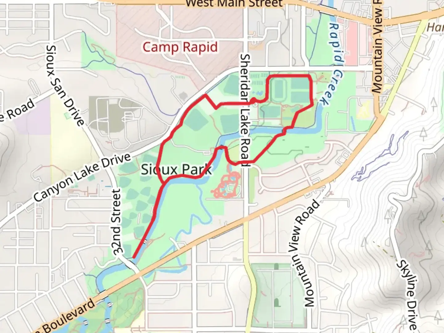
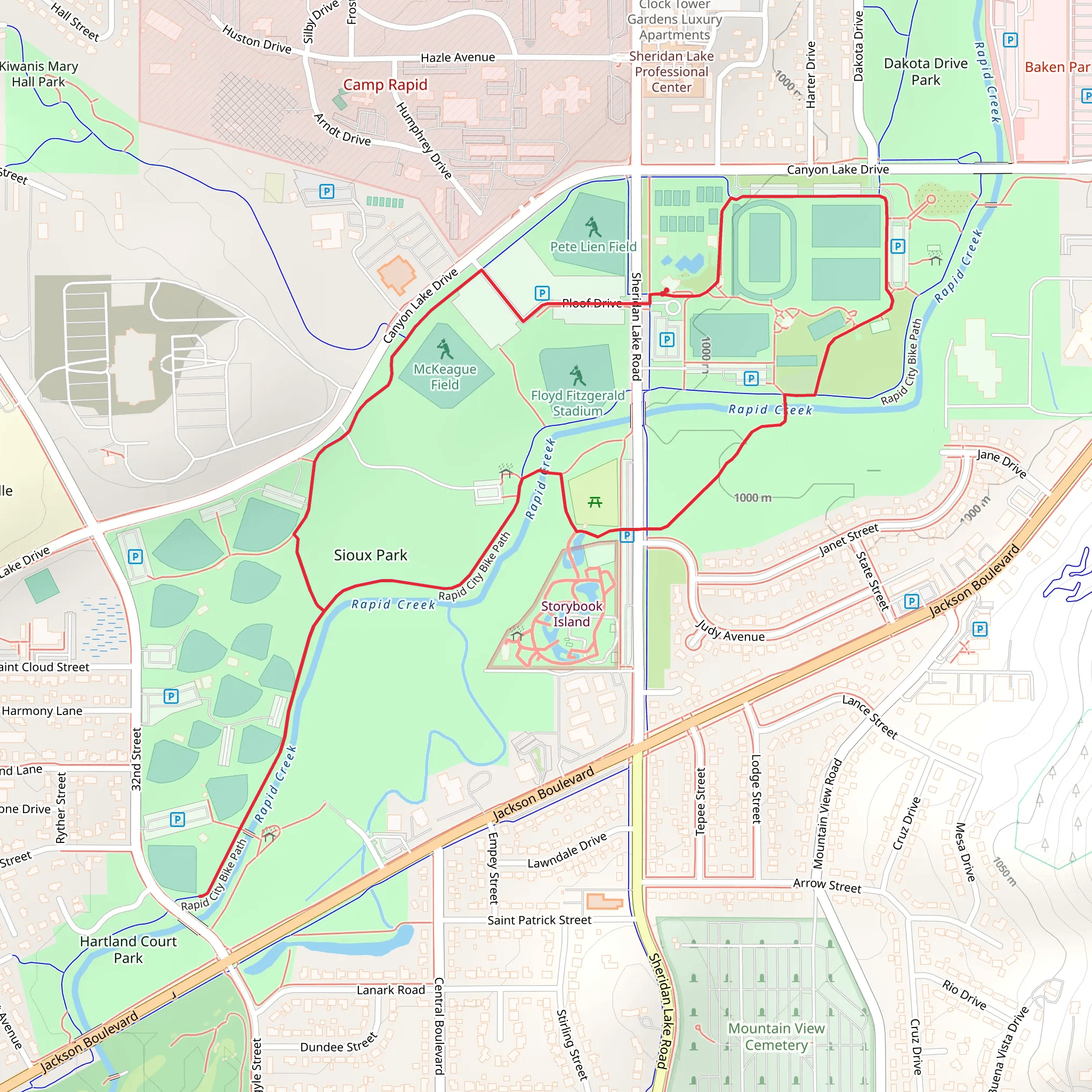
Starting your adventure near Pennington County, South Dakota, the McKeagua Field and Rapid City Path Loop offers a delightful 4 km (approximately 2.5 miles) journey through diverse landscapes with no significant elevation gain, making it accessible for most hikers. The trailhead is conveniently located near the Rapid City area, which can be reached by car or public transport. If you're driving, you can park at the nearby Rapid City Civic Center, a well-known landmark in the area.### Getting There For those using public transport, Rapid City is serviced by several bus routes. The RapidRide system can drop you off near the Civic Center, from where it's a short walk to the trailhead. If you're driving, take I-90 to Exit 57 and follow signs to the Civic Center. Parking is generally ample, but it can fill up during events, so plan accordingly.### Trail Overview The loop trail is rated as medium difficulty, primarily due to its length rather than any challenging terrain. The path is well-marked and maintained, making navigation straightforward. For those who prefer digital navigation, the HiiKER app provides detailed maps and real-time updates.### Points of Interest As you begin your hike, you'll first encounter McKeagua Field, a wide-open space perfect for bird watching. Keep an eye out for local species such as the Western Meadowlark and the American Goldfinch. The field is also home to various wildflowers, especially vibrant in the spring and summer months.### Historical Significance About 1 km (0.6 miles) into the hike, you'll come across a historical marker detailing the significance of the area during the Black Hills Gold Rush. This region was a hotspot for prospectors in the late 19th century, and remnants of old mining equipment can still be seen along the trail.### Nature and Wildlife Continuing on, the trail meanders through a mixed forest of ponderosa pine and aspen. This section is particularly beautiful in the fall when the aspen leaves turn a brilliant gold. Wildlife is abundant here; you might spot deer, rabbits, and even the occasional fox. ### Rapid City Path Around the 3 km (1.9 miles) mark, the trail transitions into the Rapid City Path, a more urban section that runs parallel to Rapid Creek. This part of the trail is popular with local joggers and cyclists. The creek itself is a serene spot, perfect for a short rest. Benches are available if you need to take a break and enjoy the sound of the flowing water.### Final Stretch The last leg of the loop brings you back towards the Civic Center, passing through a small park area with picnic tables and restrooms. This is a great spot to relax and reflect on your hike before heading back to your starting point.### Practical Tips - Water and Snacks: There are no water sources along the trail, so bring enough water and snacks to keep you energized. - Footwear: Comfortable hiking shoes are recommended, as some sections can be uneven. - Weather: Check the weather forecast before you go. The trail can be muddy after rain, and thunderstorms are common in the summer.Using the HiiKER app will ensure you stay on track and can access real-time information about the trail conditions. Enjoy your hike through this beautiful and historically rich area!
What to expect?
Activity types
Comments and Reviews
User comments, reviews and discussions about the McKeagua Field and Rapid City Path Loop, South Dakota.
4.45
average rating out of 5
131 rating(s)
