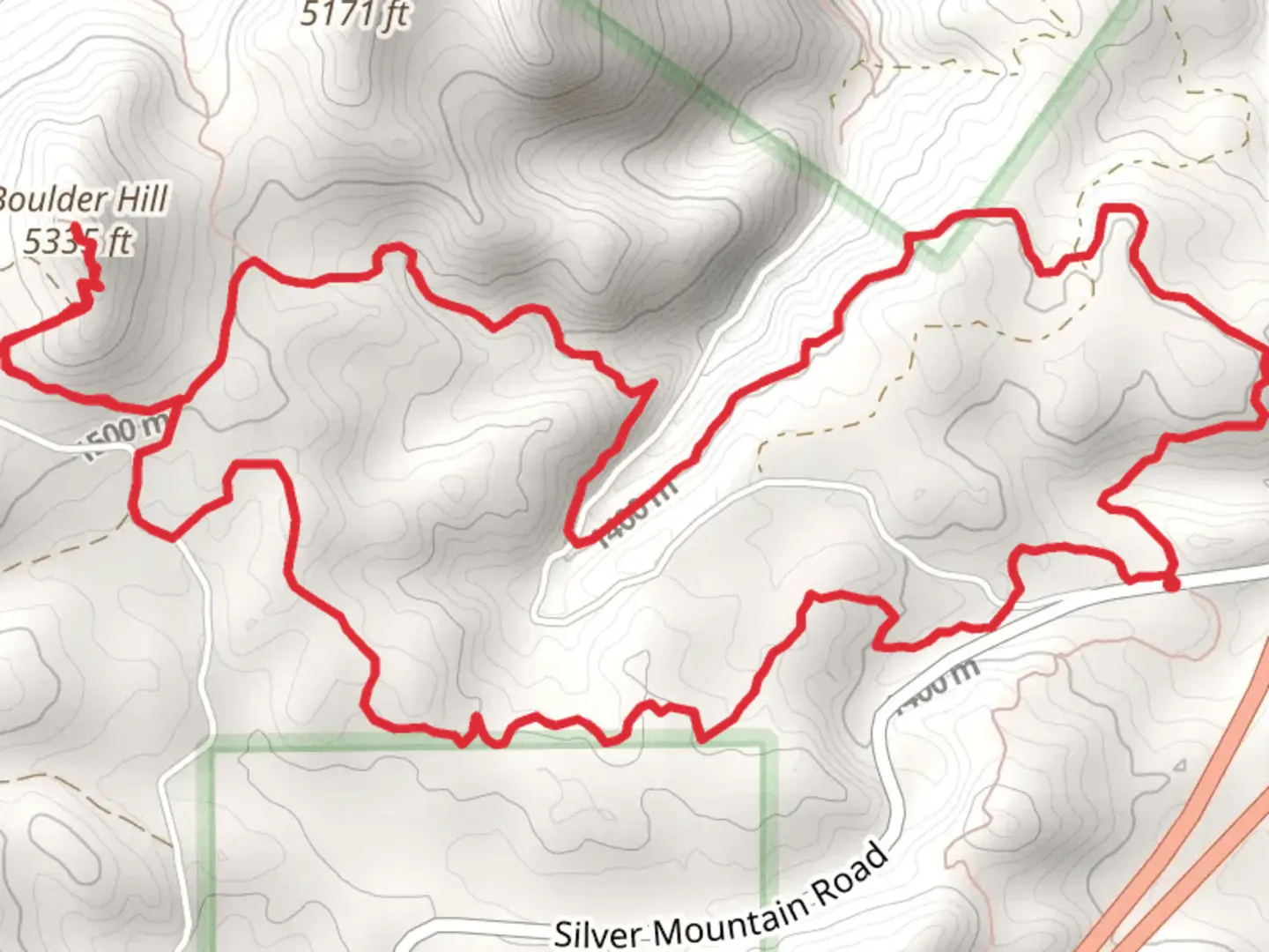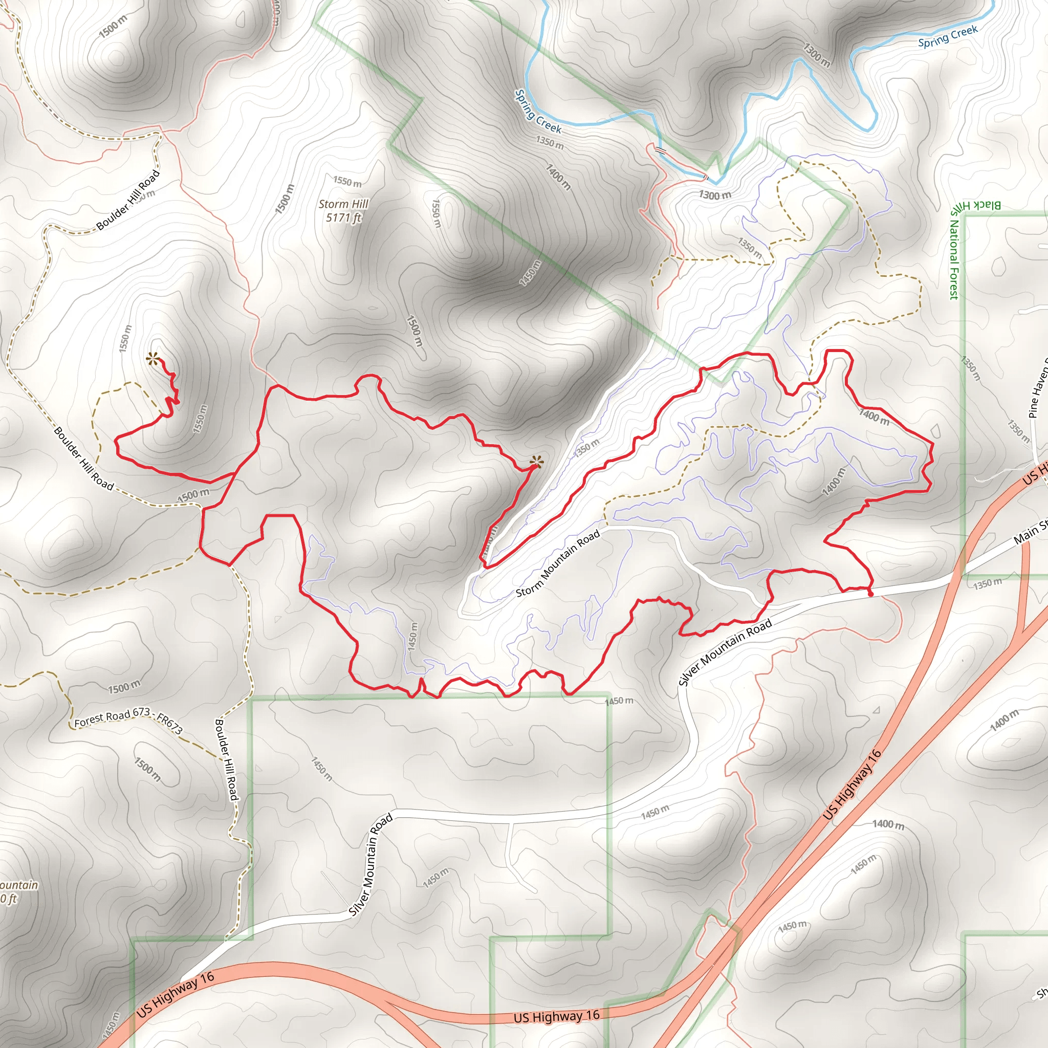
Boulder Hill via Flume Trail and Storm Mountain Trail
Download
Preview
Add to list
More
11.1 km
~2 hrs 59 min
465 m
Loop
“Explore the Black Hills' rich history and stunning vistas on the captivating 11 km Boulder Hill loop.”
Starting your adventure near Pennington County, South Dakota, the Boulder Hill via Flume Trail and Storm Mountain Trail offers a captivating loop hike of approximately 11 km (around 6.8 miles) with an elevation gain of about 400 meters (1,312 feet). This medium-difficulty trail is perfect for those looking to explore the Black Hills region, known for its rich history and stunning natural beauty.
Getting There To reach the trailhead, you can drive or use public transport. If driving, head towards the nearest significant landmark, which is the town of Keystone, South Dakota. From Keystone, take US-16A W for about 5 miles until you reach the trailhead parking area. For those using public transport, the nearest bus stop is in Keystone, from where you can arrange a taxi or rideshare to the trailhead.
Trail Overview The loop begins with the Flume Trail, a historic path that follows the route of an old water flume used during the gold rush era. This section of the trail is relatively flat and easy, making it a great warm-up. As you hike, you'll notice remnants of the flume structure, offering a glimpse into the area's mining history. The first 2 km (1.2 miles) of the trail are quite scenic, with gentle inclines and lush forest surroundings.
Ascending Boulder Hill After the initial stretch, the trail starts to ascend towards Boulder Hill. This is where you'll gain most of the elevation, approximately 300 meters (984 feet) over the next 3 km (1.9 miles). The climb is steady but manageable, with switchbacks that make the ascent less strenuous. Keep an eye out for local wildlife such as deer and various bird species. The flora here is diverse, with ponderosa pines and spruce trees providing ample shade.
Reaching the Summit At around the 5 km (3.1 miles) mark, you'll reach the summit of Boulder Hill. The panoramic views from the top are breathtaking, offering a 360-degree vista of the Black Hills. On a clear day, you can see as far as the Badlands to the east and the Wyoming border to the west. This is a perfect spot to take a break, have a snack, and soak in the scenery.
Descending via Storm Mountain Trail The descent begins as you transition onto the Storm Mountain Trail. This section is more rugged and less trafficked, providing a sense of solitude. The trail winds through dense forest and rocky outcrops, descending about 100 meters (328 feet) over the next 2 km (1.2 miles). Be cautious of loose rocks and uneven terrain. Using a navigation tool like HiiKER can be particularly helpful here to stay on track.
Final Stretch The last 3 km (1.9 miles) of the loop are relatively flat and take you through a serene forested area. This part of the trail is less challenging, allowing you to enjoy the peaceful surroundings and perhaps spot some more wildlife. You'll eventually reconnect with the Flume Trail, leading you back to the trailhead.
Historical Significance The Black Hills region is steeped in history, from Native American heritage to the gold rush era. The Flume Trail itself is a testament to the ingenuity of early miners who constructed the flume to transport water for gold mining operations. As you hike, you'll pass by several interpretive signs that provide more context about the area's historical significance.
Wildlife and Flora The trail is home to a variety of wildlife, including deer, elk, and numerous bird species. The flora is equally diverse, with ponderosa pines, spruce, and a variety of wildflowers, especially vibrant in the spring and summer months. Keep your camera handy to capture the natural beauty that surrounds you.
This hike offers a perfect blend of natural beauty, historical intrigue, and moderate physical challenge, making it a must-do for any hiking enthusiast visiting the Black Hills.
What to expect?
Activity types
Comments and Reviews
User comments, reviews and discussions about the Boulder Hill via Flume Trail and Storm Mountain Trail, South Dakota.
4.57
average rating out of 5
161 rating(s)
