Download
3D Flyover
Add to list
More
885.2 km
~32 days
5903 m
Multi-Day
“Embark on the Mawson Trail, a scenic and historic trek through South Australia's diverse landscapes.”
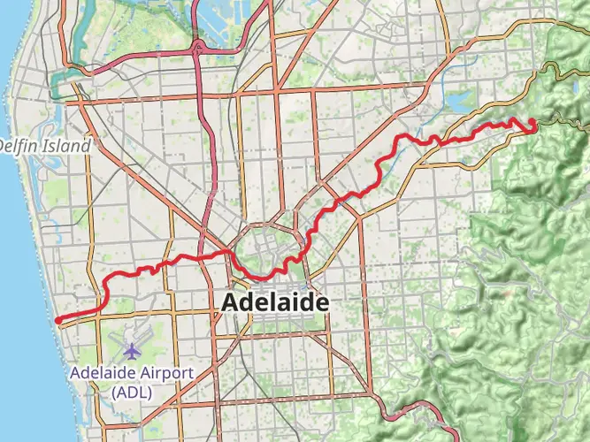
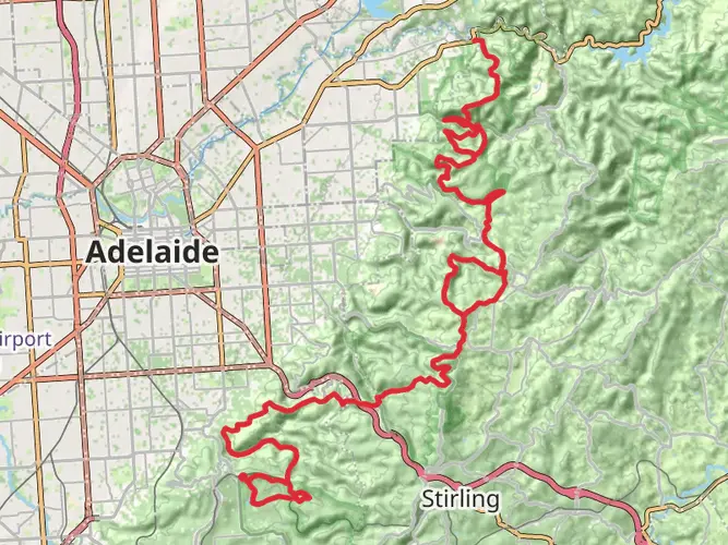
The Mawson Trail, a journey of approximately 885 kilometers (550 miles) with an elevation gain of around 5900 meters (19,356 feet), begins near Tea Tree Gully in South Australia and stretches all the way to the outback town of Blinman. This point-to-point trail is a medium-difficulty adventure that takes you through the scenic landscapes of the Adelaide Hills, the Barossa Valley, the Flinders Ranges, and several national parks.
Getting to the Trailhead
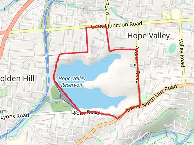
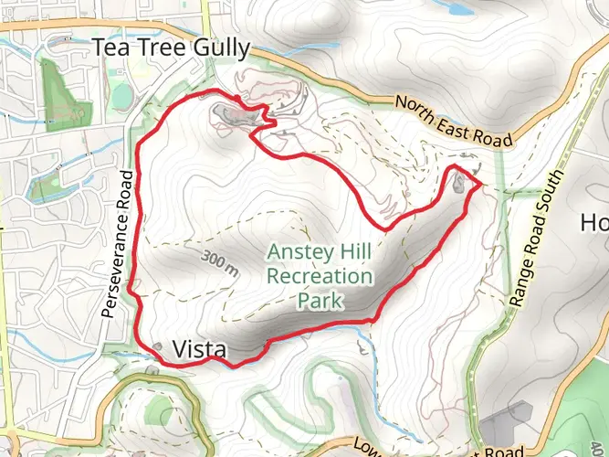
To reach the starting point of the Mawson Trail, you can drive or take public transport to Tea Tree Gully. If you're coming by car, the trailhead is accessible via Perseverance Road, which is near the suburb of Houghton. For those relying on public transport, buses frequently run from Adelaide to Tea Tree Gully, where you can begin your trek.
Navigating the Trail
The Mawson Trail is well-marked, but due to its length and remote sections, it's advisable to use a reliable navigation tool like HiiKER to keep track of your progress and ensure you're on the right path. The app can also provide you with detailed maps and information about the trail as you hike.
Landmarks and Scenery
As you embark on the Mawson Trail, you'll traverse through the Mount Lofty Ranges, offering panoramic views of the surrounding valleys and vineyards. The trail meanders through the renowned wine-producing region of the Barossa Valley, where rows of grapevines stretch across the landscape.
Continuing north, you'll encounter the historic towns of Kapunda and Burra, which are significant for their mining history. The remnants of old mines and historical buildings provide a glimpse into South Australia's copper mining past.
Wildlife and Nature
The diverse environments along the Mawson Trail are home to an array of wildlife. Keep an eye out for kangaroos, echidnas, and a variety of bird species, including the vibrant rosellas and cockatoos. As you hike through the native bushland and conservation parks, you'll be surrounded by eucalyptus trees and the unique flora of the region.
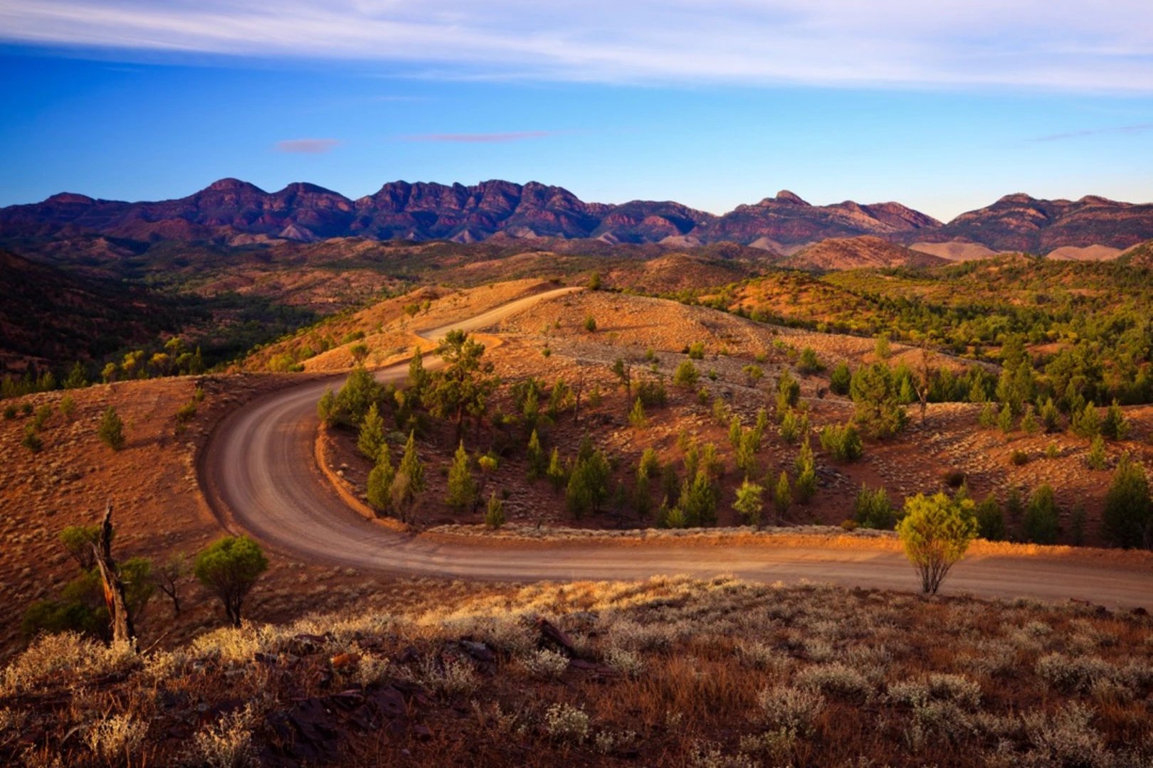
Flinders Ranges
One of the highlights of the Mawson Trail is the majestic Flinders Ranges, where the trail reaches its northern terminus in Blinman. This ancient landscape is characterized by rugged mountain ranges, deep gorges, and the iconic Wilpena Pound, a natural amphitheater of mountains. The Flinders Ranges section alone involves significant elevation changes and offers some of the most breathtaking views on the trail.
Preparation and Planning
Given the trail's length and varying terrain, it's essential to plan your hike carefully. Water sources can be scarce, especially in the more remote sections, so carrying sufficient water and a means of purification is crucial. Accommodation options vary from campgrounds to bed and breakfasts, so plan your stops according to your preferred level of comfort.
The Mawson Trail can be hiked in sections or as a whole, taking several weeks to complete. The best times to hike are during the cooler months from April to November, as the summer heat can be intense and potentially dangerous for long-distance hiking.
Historical Significance
The trail is named after Sir Douglas Mawson, a famous Australian Antarctic explorer, and geologist. The regions you'll pass through are steeped in history, from Aboriginal heritage to European settlement, agriculture, and mining. Each town and landmark along the Mawson Trail has its own story, contributing to the rich tapestry of South Australia's history.
By preparing adequately and respecting the natural environment, hikers can look forward to an unforgettable journey along the Mawson Trail, experiencing the beauty and history of South Australia's heartland.

Activity types
Comments and Reviews
User comments, reviews and discussions about the Mawson Trail, South Australia.
4.25
average rating out of 5
4 rating(s)