Download
Preview
Add to list
More
7.7 km
~1 hrs 48 min
159 m
Loop
“The Freeman, Narragansett, and Sand Hill Road Loop Trail offers a rewarding mix of scenic beauty, historical intrigue, and moderate challenge.”
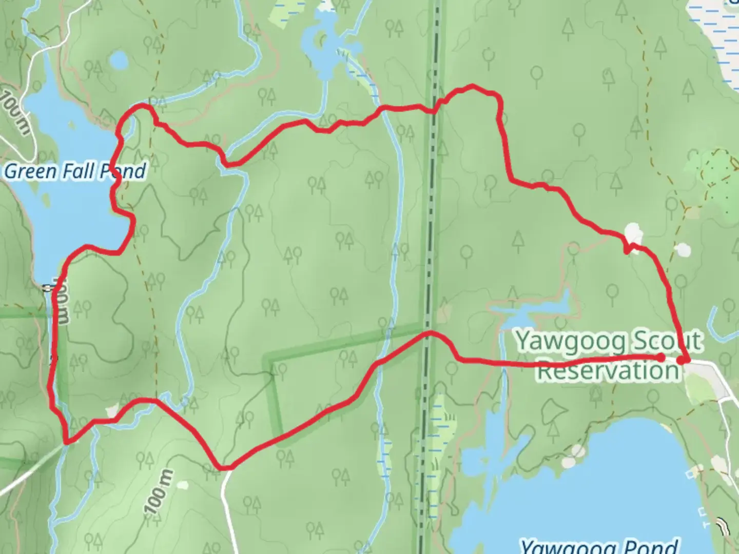
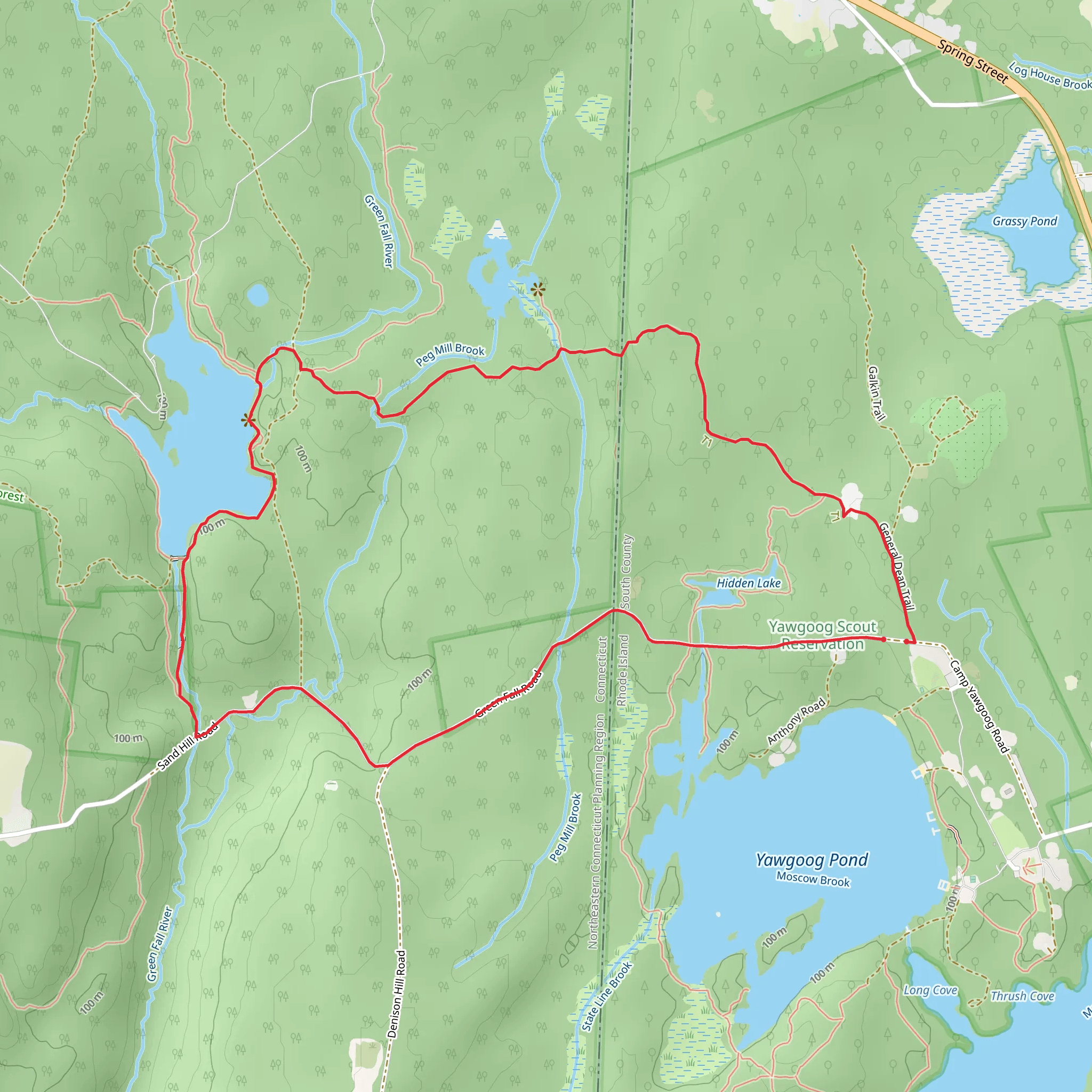
Starting near South County, Rhode Island, the Freeman, Narragansett, and Sand Hill Road Loop Trail offers an 8 km (approximately 5 miles) journey through a diverse landscape with an elevation gain of around 100 meters (328 feet). This loop trail is rated as medium difficulty, making it suitable for hikers with some experience.
Getting There To reach the trailhead, you can drive or use public transportation. If driving, head towards South County, Rhode Island, and look for parking near the intersection of Sand Hill Road and Narragansett Trail. For those using public transport, the nearest significant landmark is the Kingston Amtrak Station. From there, you can take a local taxi or rideshare service to the trailhead.
Trail Navigation For navigation, it's highly recommended to use the HiiKER app, which provides detailed maps and real-time updates. This will help you stay on track and make the most of your hiking experience.
Trail Highlights The trail begins with a gentle ascent, taking you through a mixed forest of oak, maple, and pine trees. About 1.5 km (0.9 miles) in, you'll encounter a small brook, which is a great spot for a short break. The sound of flowing water and the sight of native ferns and mosses create a serene atmosphere.
Historical Significance As you continue, you'll come across remnants of old stone walls, a testament to the region's agricultural past. These walls were built by early settlers and offer a glimpse into the history of land use in the area. Approximately 3 km (1.8 miles) into the hike, you'll find a historical marker indicating the site of an old homestead, adding a layer of historical intrigue to your journey.
Wildlife and Flora The trail is home to a variety of wildlife, including white-tailed deer, red foxes, and numerous bird species like the Eastern Bluebird and Red-tailed Hawk. Keep an eye out for these creatures, especially in the early morning or late afternoon. The flora is equally diverse, with seasonal wildflowers such as Trillium and Lady's Slipper adding splashes of color to the landscape.
Midpoint and Elevation Around the 4 km (2.5 miles) mark, you'll reach the highest point of the trail, offering a modest but rewarding view of the surrounding forest. This is a great spot to pause and take in the scenery before beginning your descent.
Final Stretch The descent is gradual and takes you through a denser part of the forest, where the canopy overhead provides ample shade. As you approach the final 2 km (1.2 miles), the trail widens and becomes more level, making for an easier walk back to the trailhead.
Practical Tips - Wear sturdy hiking boots, as some sections can be rocky and uneven. - Bring plenty of water and snacks, especially during warmer months. - Check the weather forecast before heading out, as the trail can become muddy after rain. - Use the HiiKER app for real-time navigation and updates.
This loop trail offers a balanced mix of natural beauty, historical landmarks, and moderate physical challenge, making it a rewarding experience for those looking to explore the rich landscape of South County, Rhode Island.
What to expect?
Activity types
Comments and Reviews
User comments, reviews and discussions about the Freeman, Narragansett and Sand Hill Road Loop Trail, Rhode Island.
4.47
average rating out of 5
114 rating(s)
