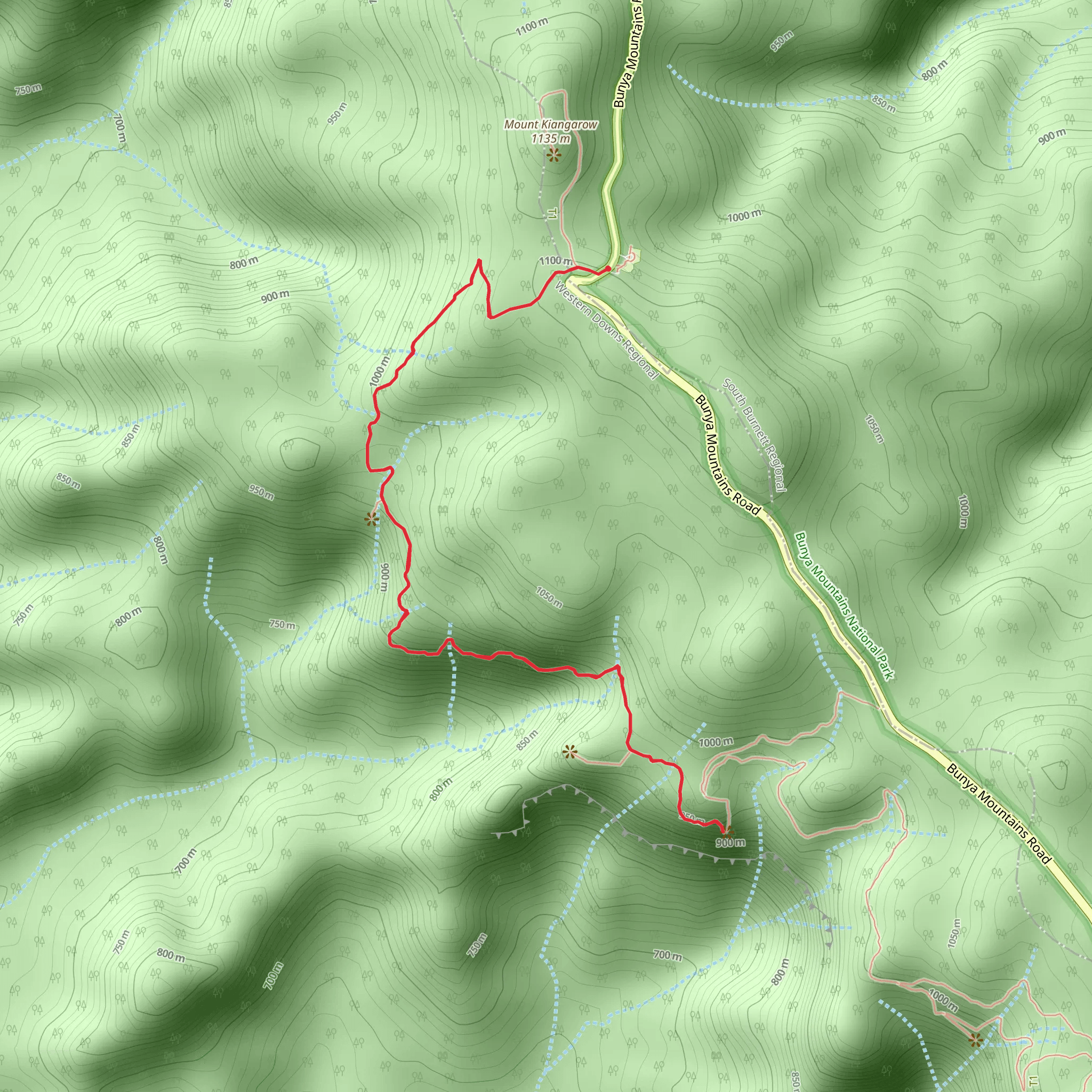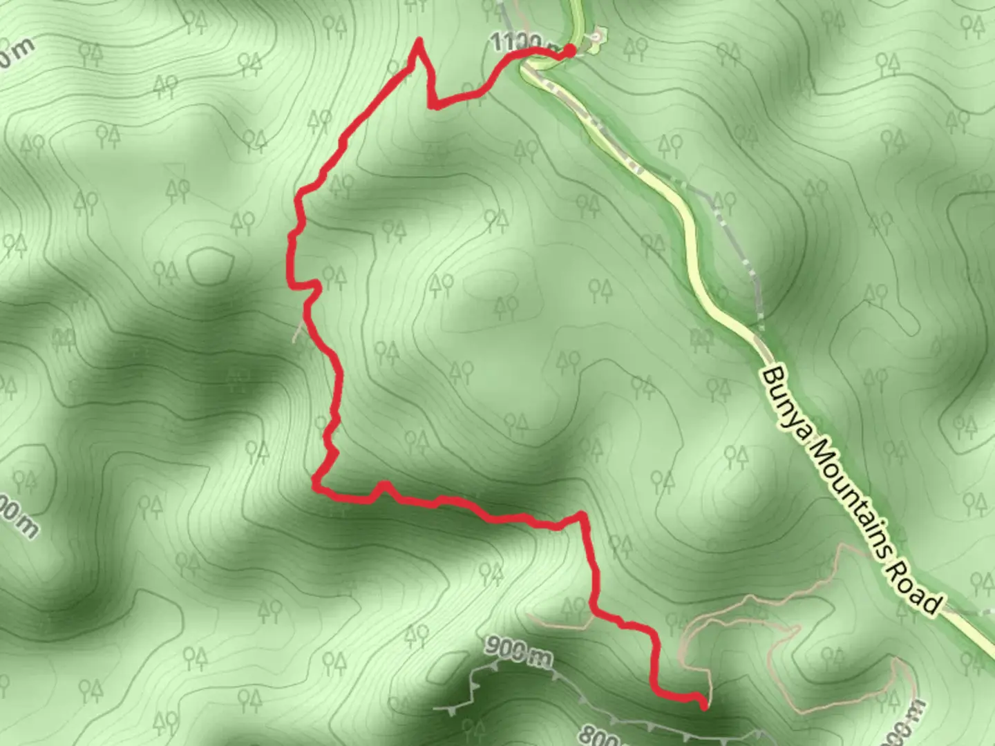
This track is in the Bunya Mountains National Park, 125 miles northwest of Brisbane, in the South Burnett region in Queensland. It can be started at either the Cherry Plain picnic area (4 miles along the Bunya Mountains Road) or from the Burtons Well picnic area (6 miles on Bunya Mountains Road) from the south-eastern entrance to the park. This road passes through the park from the southeast to the north. To get to the park from Brisbane you can go via Toowoomba on the Ipswich Motorway and Warrego Highway or via Yarraman then take the New England Highway.It is an 8-mile return trail and leads through the mountain-top rainforest with lush ferns and other green vegetation and has some great lookouts at Bottle Tree Bluff, Cherry Plain and Ghinghion. There are also areas of open eucalyptus forest with views across valleys and plains and an open grassland section on the western cliff line. Bird songs dominate in the forests, the wonga pigeon, green catbird and eastern whip bird all live here and if you are vigilant you may see the black-breasted button quail feeding on the forest floor. Lookout for bandicoots, pademelons and wallabies, especially as evening approaches. In the springtime the cliff's edges turn golden from the flowering king orchids. Suitable for most ages, the trail is graded as Medium. For information on how we grade trails, please click here. Allow around 4 hours to complete it, although caution is advised on trail times as this depends on multiple variables. For more info, click here. The trail can also be extended by walking to the summit of Mount Kiangarow, where there are more great views and it is definitely worth the extra effort. Dogs are not permitted in the park and the track is unsuitable for wheelchairs and pushchairs. Note that toilet facilities are only available at Burtons Well picnic area. The trail is open 24 hours a day, but be aware that there is often no phone reception in this area so a personal locater device could be good, especially if hiking alone.