Download
Preview
Add to list
More
215.0 km
~11 days
3014 m
Multi-Day
“Embark on the Baker Trail, a scenic trek through Pennsylvania's diverse landscapes and rich history.”
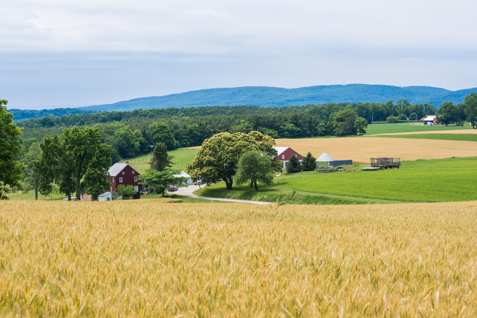
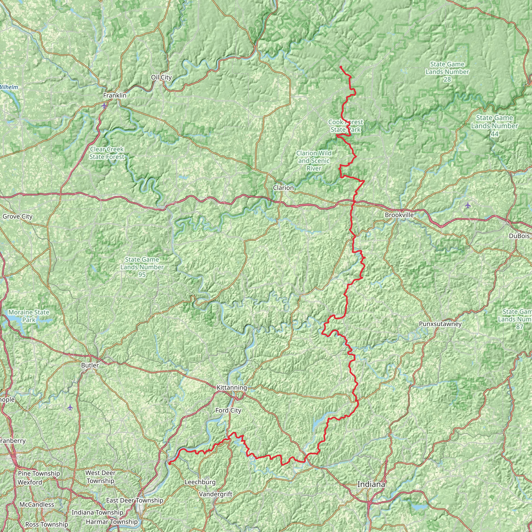
Spanning approximately 215 kilometers (134 miles) and boasting an elevation gain of around 3000 meters (nearly 10,000 feet), the Baker Trail is a point-to-point trek that begins near Forest County in Pennsylvania. This medium-difficulty hike offers a diverse array of landscapes and experiences as it winds through the rolling hills of the Allegheny Plateau.Getting to the TrailheadThe starting point of the Baker Trail is accessible by car, located near the small community of Asaph, just off of Route 62. For those relying on public transportation, the nearest major city with bus and train services is Pittsburgh. From Pittsburgh, you can rent a car or take a local bus closer to the trailhead. Parking is available near the trail's beginning, which is marked by a signpost indicating the start of your journey.Navigating the TrailHikers can rely on HiiKER to navigate the trail, ensuring they stay on the correct path and can plan their stops accordingly. The trail is marked with yellow blazes that guide you through various terrains, including hardwood forests, over streams, and across scenic bridges.Landmarks and SceneryAs you embark on the Baker Trail, you'll traverse through Cook Forest State Park, known for its old-growth forest, including the Longfellow Pine, one of the tallest trees in the northeastern United States. Approximately 50 kilometers (31 miles) into the hike, you'll reach the Clarion River, a picturesque spot for a rest or a picnic.Further along, at around the 100-kilometer (62-mile) mark, the trail takes you through the historic town of Brookville. Here, hikers can appreciate Victorian architecture and learn about the area's rich history, including its role in the early oil industry.Wildlife and NatureThe Baker Trail is a haven for wildlife enthusiasts. Deer, black bears, and wild turkeys are commonly sighted, while the dense canopy above is home to a variety of bird species. Wildflowers and ferns line the path, especially in the spring and summer months, adding a splash of color to the greenery.Elevation and Terrain ChallengesThe trail's elevation gain is gradual, with the most significant climbs occurring as you approach the northern sections. The path can be rocky and uneven in places, so sturdy hiking boots are recommended. After heavy rains, some parts of the trail may become muddy or even flooded, so waterproof gear and trekking poles can be helpful.Historical SignificanceThe region through which the Baker Trail passes is steeped in history. It was once the frontier of colonial expansion and has seen the rise and fall of the lumber and coal industries. Hikers will encounter remnants of this past, including old homesteads, abandoned wells, and the occasional ghost town.Preparation and PlanningBefore setting out, hikers should prepare for variable weather conditions and pack accordingly. Water sources are available along the trail, but it's advisable to carry a water filter or purification tablets. Camping is permitted along the trail, with designated sites offering a place to rest for the night. It's important to plan your stops, as some sections of the trail are more remote and have fewer amenities.ConclusionThe Baker Trail is a journey through Pennsylvania's natural beauty and historical landscapes. With proper preparation and a spirit of adventure, hikers will find this trail to be a rewarding experience that offers a glimpse into both the wilderness and the past.
What to expect?
Activity types
Comments and Reviews
User comments, reviews and discussions about the Baker Trail, Pennsylvania.
5.0
average rating out of 5
7 rating(s)

