Download
Preview
Add to list
More
19.2 km
~1 day 0 hrs
795 m
Out and Back
“Stacker Butte Out and Back offers stunning views, historical intrigue, and a rewarding 19 km hike.”
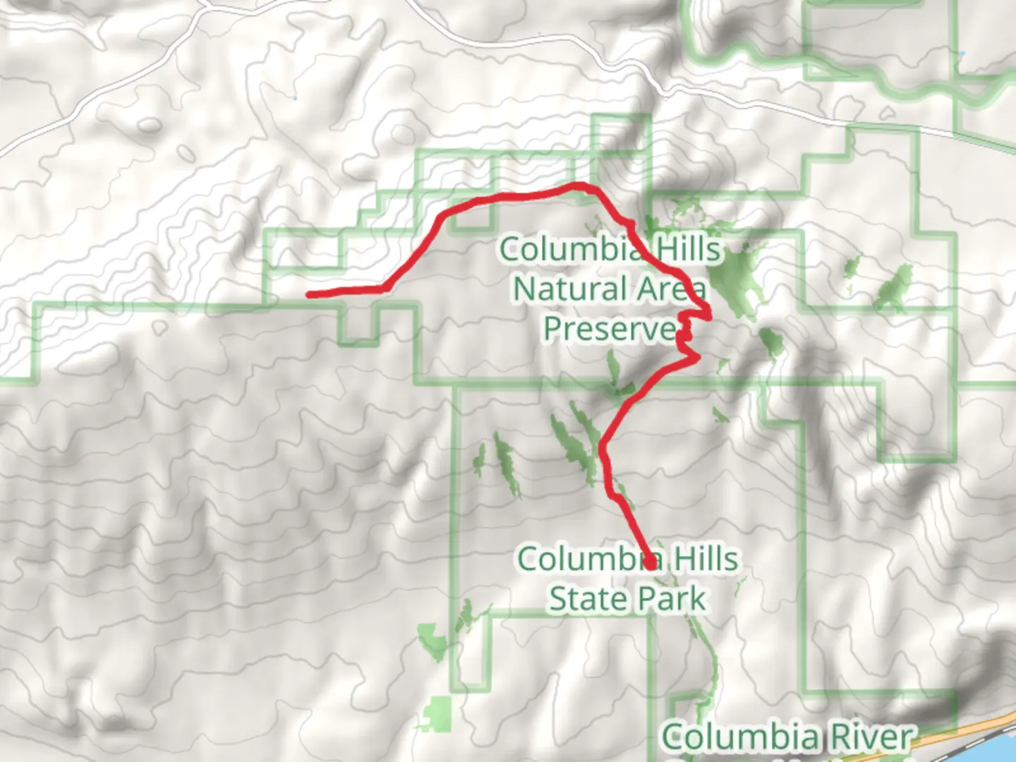
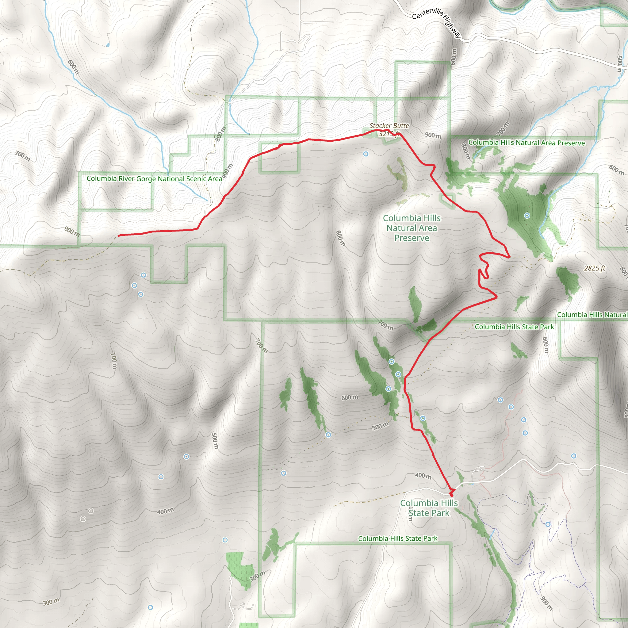
Starting near Wasco County, Oregon, the Stacker Butte Out and Back trail offers a rewarding hike with a total distance of around 19 km (approximately 11.8 miles) and an elevation gain of about 700 meters (2,297 feet). This medium-difficulty trail is perfect for those looking to experience the natural beauty and historical significance of the region.### Getting There To reach the trailhead, you can drive or use public transport. If driving, head towards the Columbia Hills State Park, which is the nearest significant landmark. The trailhead is located just off Highway 14, near the Dalles Mountain Ranch. For those using public transport, the nearest major city is The Dalles, Oregon. From there, you can take a taxi or rideshare service to the trailhead.### Trail Overview The trail begins with a gradual ascent through open grasslands, offering panoramic views of the Columbia River Gorge. Early in the hike, you'll encounter a series of switchbacks that help to manage the elevation gain. The first 3 km (1.9 miles) are relatively easy, with an elevation gain of about 150 meters (492 feet).### Flora and Fauna As you continue, the landscape transitions into a mix of wildflower meadows and oak woodlands. During the spring and early summer, the meadows are blanketed with vibrant wildflowers such as lupines, balsamroot, and Indian paintbrush. Keep an eye out for local wildlife, including deer, hawks, and occasionally, bald eagles.### Historical Significance Around the 6 km (3.7 miles) mark, you'll come across remnants of old homesteads and farming equipment, a testament to the area's agricultural history. The Columbia Hills were once home to Native American tribes, and you may even spot some ancient petroglyphs if you look closely.### Reaching Stacker Butte The final push to Stacker Butte involves a steeper climb, gaining approximately 300 meters (984 feet) in elevation over the last 4 km (2.5 miles). The effort is well worth it, as the summit offers 360-degree views of the surrounding landscape, including Mount Hood, Mount Adams, and the Columbia River.### Navigation and Safety Given the open terrain and potential for sudden weather changes, it's advisable to use a reliable navigation tool like HiiKER to stay on track. The trail is well-marked, but having a digital map can provide extra assurance. Make sure to bring plenty of water, as there are no reliable water sources along the trail.### Return Journey The return journey follows the same path, allowing you to enjoy the views from a different perspective. The descent is much easier on the legs, but take care on the steeper sections to avoid slipping.This trail offers a mix of natural beauty, historical intrigue, and physical challenge, making it a must-do for any avid hiker visiting the Columbia River Gorge area.
What to expect?
Activity types
Comments and Reviews
User comments, reviews and discussions about the Stacker Butte Out and Back, Oregon.
4.57
average rating out of 5
14 rating(s)
