Download
Preview
Add to list
More
12.6 km
~3 hrs 2 min
307 m
Out and Back
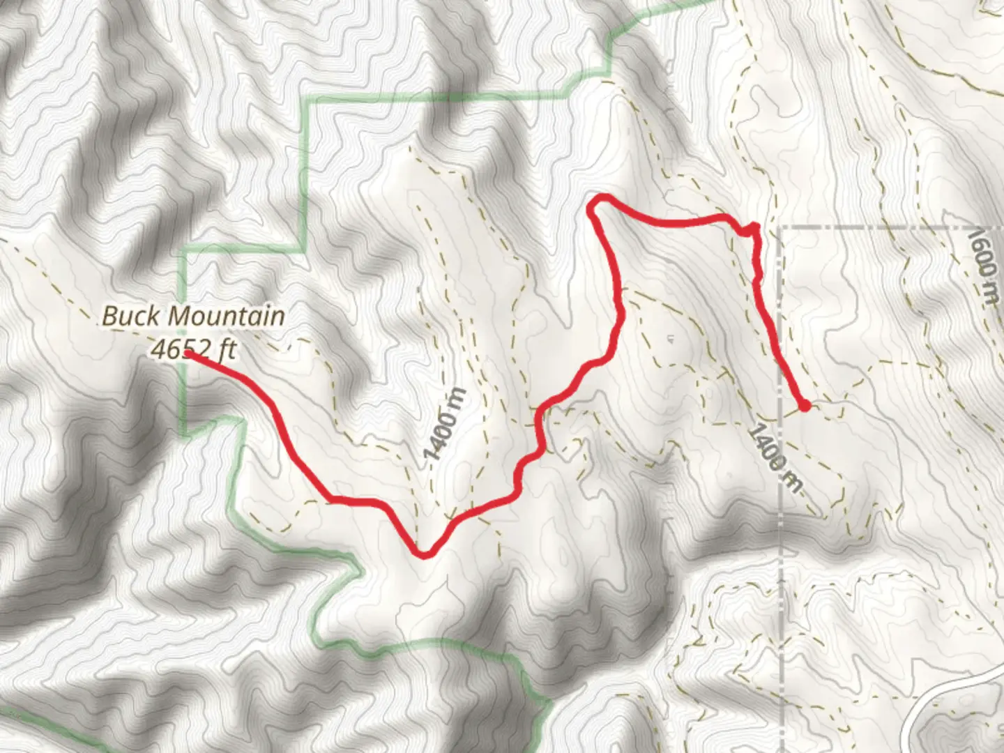
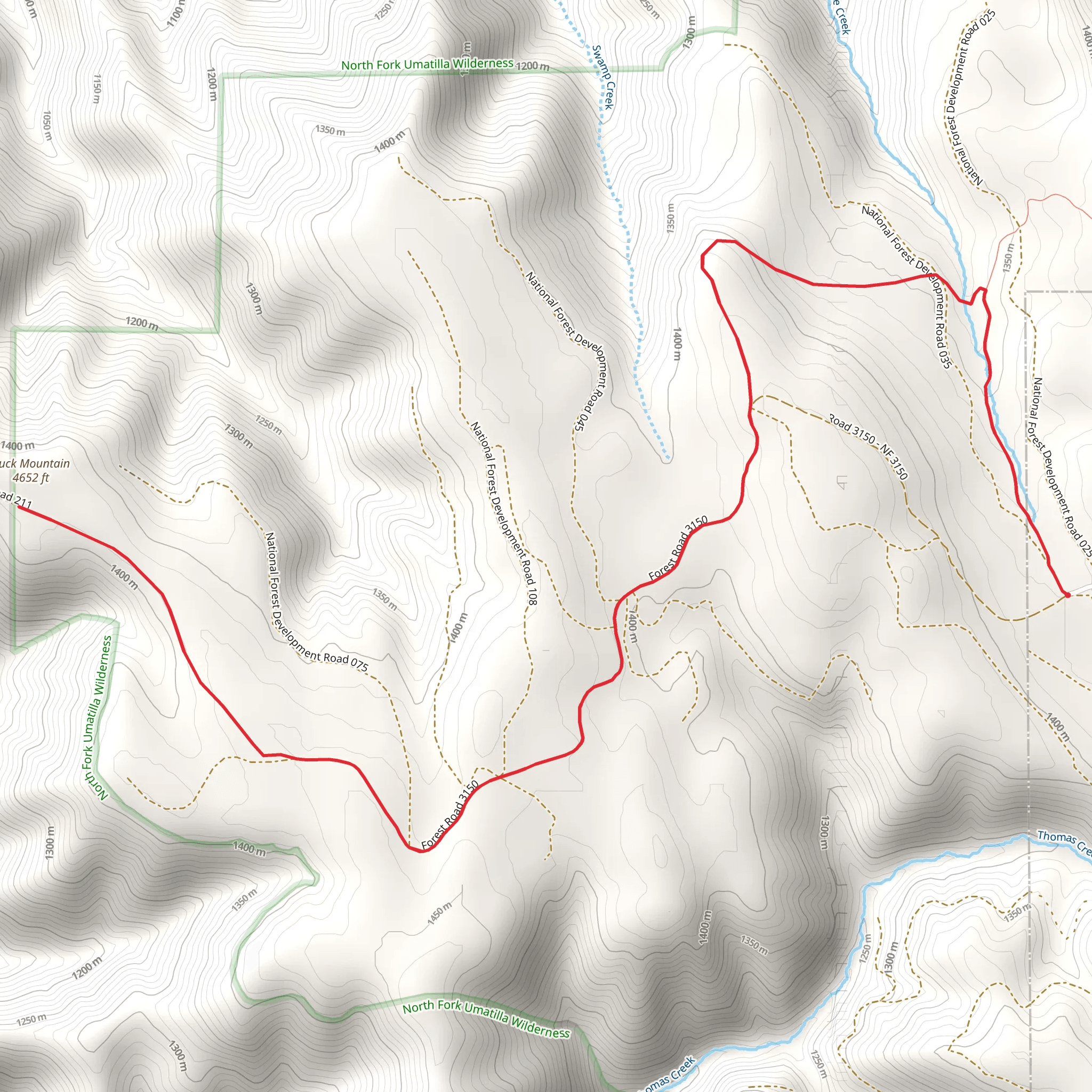
“Embark on Buck Mountain via Umatilla Rim Trail for a scenic hike rich in history and diverse landscapes.”
Starting your adventure near Union County, Oregon, the Buck Mountain via Umatilla Rim Trail offers a captivating journey through diverse landscapes. The trailhead is conveniently accessible by car, with parking available near the Umatilla National Forest boundary. For those relying on public transport, the nearest significant landmark is the town of La Grande, Oregon, from where you can arrange a taxi or rideshare to the trailhead.
Trail Overview
The Buck Mountain via Umatilla Rim Trail spans approximately 13 kilometers (8 miles) with an elevation gain of around 300 meters (984 feet). This out-and-back trail is rated as medium difficulty, making it suitable for moderately experienced hikers. The trail is well-marked, but it's advisable to use HiiKER for navigation to ensure you stay on the correct path.
Key Landmarks and Natural Features
As you embark on the trail, you'll initially traverse through dense forests of Douglas fir and ponderosa pine. About 2 kilometers (1.2 miles) in, you'll encounter a serene meadow, often dotted with wildflowers in the spring and summer months. This is a great spot for a short break and some photography.
Continuing on, around the 5-kilometer (3.1-mile) mark, the trail begins to ascend more steeply. Here, you'll gain approximately 150 meters (492 feet) in elevation over the next 2 kilometers (1.2 miles). This section offers stunning views of the surrounding Umatilla National Forest and, on clear days, you can catch glimpses of the Blue Mountains in the distance.
Wildlife and Flora
The Umatilla Rim Trail is home to a variety of wildlife. Keep an eye out for deer, elk, and occasionally black bears. Birdwatchers will be delighted by the presence of species such as the northern goshawk and the great horned owl. The flora is equally diverse, with seasonal blooms of lupine, Indian paintbrush, and yarrow adding splashes of color to the landscape.
Historical Significance
This region holds historical significance as it was once traversed by Native American tribes, particularly the Umatilla, Cayuse, and Walla Walla peoples. They used these trails for hunting and gathering, and remnants of their presence can sometimes be found in the form of ancient campsites and tool fragments. Respect these historical sites by leaving them undisturbed.
Final Ascent and Summit
The final push to Buck Mountain's summit is challenging but rewarding. The last 1.5 kilometers (0.9 miles) involve a steep climb, gaining the remaining 150 meters (492 feet) in elevation. Upon reaching the summit, you'll be greeted with panoramic views that make the effort worthwhile. The summit offers a 360-degree vista, showcasing the vast expanse of the Umatilla National Forest and beyond.
Preparation and Safety
Given the trail's moderate difficulty, it's essential to come prepared. Wear sturdy hiking boots, bring plenty of water, and pack snacks or a light meal. Weather can change rapidly in this region, so layers are recommended. Always check the weather forecast before heading out and let someone know your hiking plans.
Using HiiKER for navigation will help you stay on track and provide real-time updates on your progress. Cell service can be spotty, so downloading the trail map in advance is a good idea.
Embark on this trail with respect for nature and history, and you'll find it a rewarding experience filled with natural beauty and a touch of historical intrigue.
What to expect?
Activity types
Comments and Reviews
User comments, reviews and discussions about the Buck Mountain via Umatilla Rim Trail, Oregon.
4.6
average rating out of 5
5 rating(s)
