Download
Preview
Add to list
More
66.1 km
~4 days
1687 m
Multi-Day
“Embark on a serene 41-mile trek through Oregon's lush ecosystems, from waterfalls to wildfire-renewed forests.”
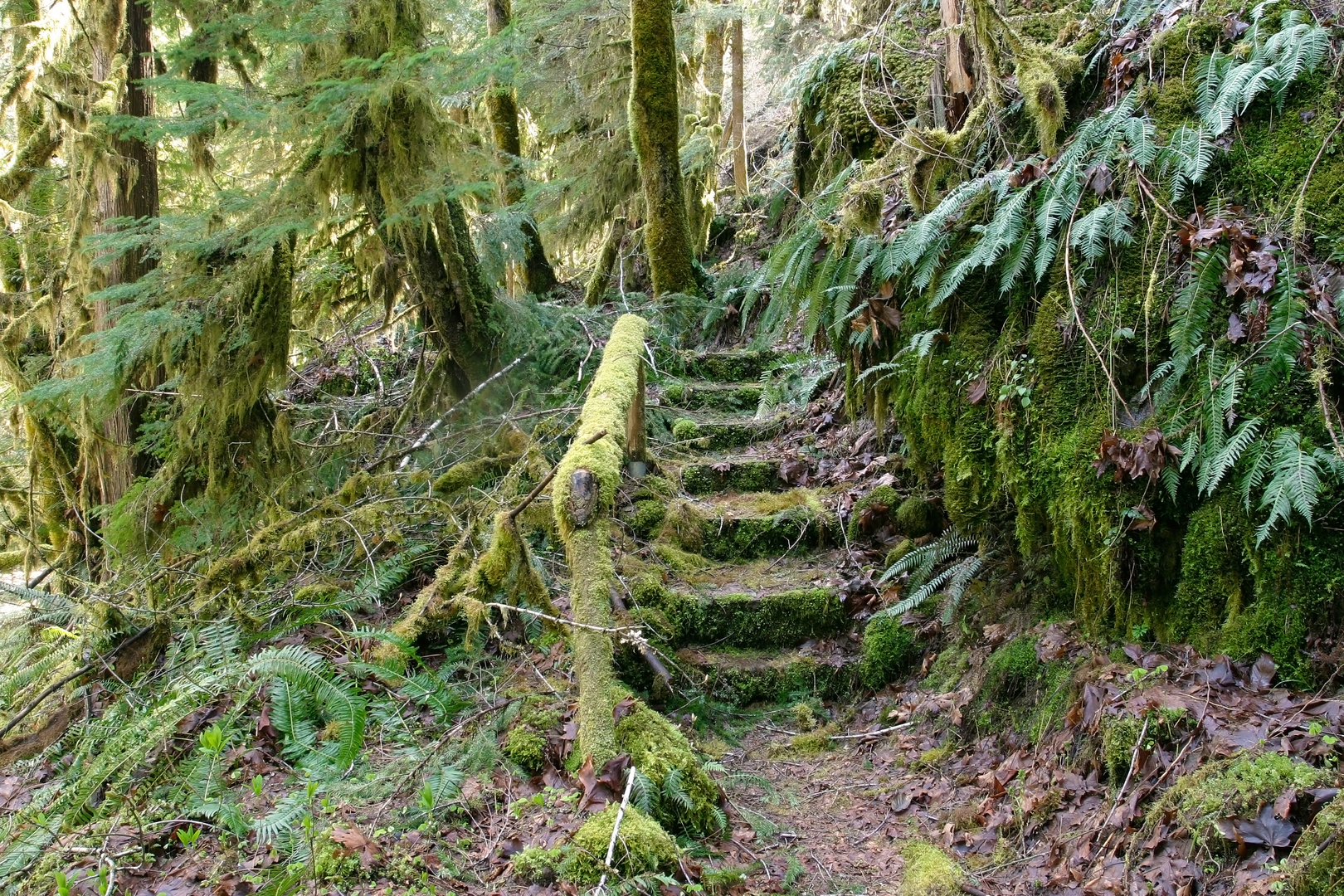
The Separation Creek Loop, nestled in the verdant landscape of Lane County, Oregon, offers hikers a moderately challenging adventure through a diverse array of ecosystems. Spanning approximately 66 kilometers (41 miles) with an elevation gain of around 1600 meters (5250 feet), this loop trail is a perfect blend of physical exertion and natural beauty.### Getting to the TrailheadTo reach the trailhead, hikers can drive to the designated parking area near Lane County, which is accessible via local roads branching off from the McKenzie Highway (Oregon Route 126). For those relying on public transportation, options may be limited, but regional bus services could provide access to nearby towns, from where a taxi or a local shuttle service might be arranged to the trailhead.### The Hike ItselfAs you embark on the Separation Creek Loop, you'll traverse through old-growth forests, characterized by towering Douglas firs and Western hemlocks, which provide a canopy for the rich understory of ferns and mosses. The first segment of the trail gently ascends through this lush environment, with the sound of Separation Creek often accompanying you as it meanders parallel to the path.### Points of Interest and LandmarksAt approximately the 10-kilometer (6.2 miles) mark, hikers will encounter the first significant landmark, the Separation Creek Waterfall. This stunning cascade is a perfect spot to rest and enjoy the serene ambiance. Continuing on, the trail offers occasional clearings where the views open up to the surrounding hills and the distant peaks of the Cascade Range.The loop also takes you through areas recovering from past wildfires, providing a unique opportunity to witness nature's resilience. The contrast between the charred remains of trees and the new growth sprouting up is both humbling and inspiring.### Flora and FaunaWildlife enthusiasts may spot a variety of animals, including black-tailed deer, Roosevelt elk, and perhaps even the elusive black bear. Birdwatchers should keep an eye out for the northern spotted owl and other avian species that call this area home.### Historical SignificanceThe region around Separation Creek is steeped in history, with the land having been inhabited by Native American tribes such as the Molalla and Kalapuya for thousands of years. European settlers arrived in the 19th century, and the area has since been a site of logging and conservation efforts.### Navigation and PreparationHikers are advised to download the trail map onto their HiiKER app before setting out, as cell service can be spotty in this remote area. The app will assist with navigation, ensuring you stay on the correct path throughout the loop.### Safety and EtiquetteAlways remember to carry sufficient water, food, and layers of clothing to adapt to the unpredictable mountain weather. Leave no trace principles should be followed diligently to preserve the natural beauty of the trail for future visitors.With its moderate difficulty rating, the Separation Creek Loop is an excellent choice for hikers looking to immerse themselves in the tranquility of Oregon's backcountry while enjoying a satisfying physical challenge.

What to expect?
Activity types
Comments and Reviews
User comments, reviews and discussions about the Separation Creek Loop, Oregon.
4.58
average rating out of 5
12 rating(s)