Mount Defiance and Warren Lake via Historic Columbia River Highway State Trail
Download
Preview
Add to list
More
18.5 km
~1 day 1 hrs
1898 m
Out and Back
“Embark on a challenging yet rewarding 18km hike with stunning vistas and rich history near Hood River.”
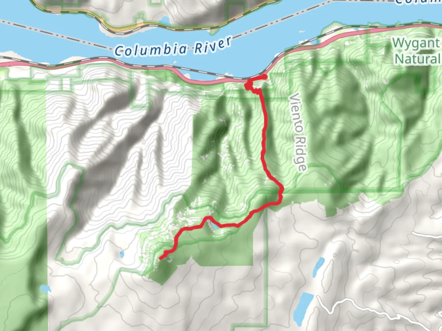
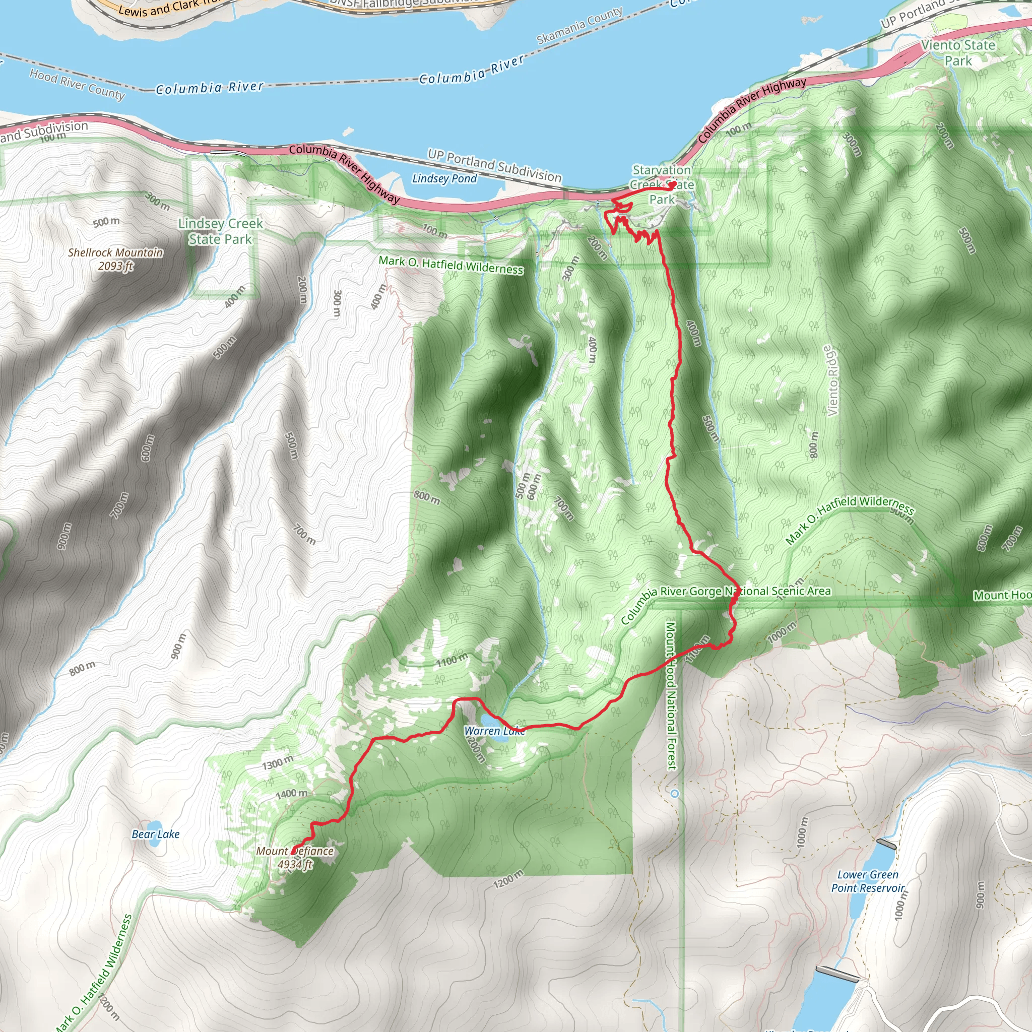
Starting your adventure near Hood River County, Oregon, the Mount Defiance and Warren Lake trail offers a challenging yet rewarding experience. This out-and-back trail spans approximately 18 kilometers (11.2 miles) with an elevation gain of around 1800 meters (5905 feet), making it a medium difficulty hike suitable for those with a good level of fitness.
Getting There To reach the trailhead, you can drive or use public transportation. If driving, head towards the Historic Columbia River Highway State Trail near Hood River County. For those using public transport, the nearest significant landmark is the town of Hood River, which is accessible via bus services from Portland. From Hood River, you may need to arrange a taxi or rideshare to the trailhead.
Trail Overview The trail begins with a steady ascent through dense forest, offering a mix of Douglas fir, western hemlock, and cedar trees. Early on, you'll encounter a series of switchbacks that help manage the steep elevation gain. As you climb, keep an eye out for the diverse flora and fauna, including wildflowers in the spring and summer months, and various bird species year-round.
Significant Landmarks At approximately 4 kilometers (2.5 miles) into the hike, you'll reach a viewpoint that offers stunning vistas of the Columbia River Gorge. This is a great spot to take a break and soak in the panoramic views.
Continuing on, the trail becomes steeper and more rugged. Around the 7-kilometer (4.3 miles) mark, you'll come across Warren Lake. This serene alpine lake is a perfect spot for a longer rest or even a picnic. The lake is surrounded by lush vegetation and offers a peaceful respite before the final push to the summit.
Historical Significance The Historic Columbia River Highway, which you will be hiking along, is a significant landmark in itself. Constructed between 1913 and 1922, it was the first planned scenic roadway in the United States. The highway was designed to offer breathtaking views of the Columbia River Gorge and has been designated a National Historic Landmark.
Final Ascent to Mount Defiance The last stretch to Mount Defiance is the most challenging, with steep and rocky terrain. As you approach the summit, the trail becomes more exposed, offering unobstructed views of the surrounding landscape. Upon reaching the summit, at an elevation of 1,501 meters (4,921 feet), you'll be rewarded with panoramic views of Mount Hood, Mount Adams, and the Columbia River Gorge.
Navigation and Safety Given the trail's difficulty and the significant elevation gain, it's crucial to be well-prepared. Use the HiiKER app for navigation to ensure you stay on the correct path. The trail can be strenuous, so bring plenty of water, snacks, and appropriate gear, including sturdy hiking boots and layers to accommodate changing weather conditions.
Wildlife and Nature Throughout the hike, you'll have the opportunity to see a variety of wildlife, including deer, squirrels, and possibly even black bears. Always practice Leave No Trace principles to preserve the natural beauty of the area and ensure a safe experience for both you and the wildlife.
This trail offers a blend of natural beauty, historical significance, and physical challenge, making it a must-do for avid hikers.
What to expect?
Activity types
Comments and Reviews
User comments, reviews and discussions about the Mount Defiance and Warren Lake via Historic Columbia River Highway State Trail, Oregon.
4.48
average rating out of 5
27 rating(s)
