Download
3D Flyover
Add to list
More
71.7 km
~3 days
1881 m
Multi-Day
“Embark on the exhilarating North Umpqua Trail for a wild Oregonian adventure through breathtaking landscapes and historical terrain.”
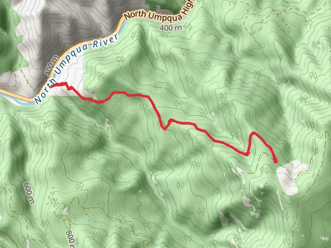
The North Umpqua Trail, a challenging and scenic trek, stretches approximately 72 kilometers (about 45 miles) and boasts an elevation gain of around 1800 meters (nearly 5900 feet). This point-to-point trail is nestled in the picturesque landscape of Douglas County, Oregon, and is known for its demanding terrain, making it suitable for experienced hikers seeking a thrilling adventure.
Getting to the Trailhead
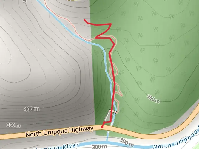
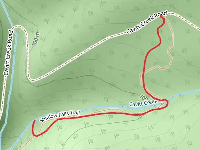
To reach the starting point of the North Umpqua Trail, hikers can drive to the Swiftwater Trailhead, which is the most common starting point for this trail. The trailhead is accessible via OR-138, also known as the North Umpqua Highway. For those relying on public transportation, options are limited, and it's advisable to rent a car or arrange a shuttle to the trailhead.
Trail Experience
As you embark on the North Umpqua Trail, you'll be greeted by the roaring sounds of the North Umpqua River, which will be your companion for much of the journey. The trail is a single-track path that weaves through old-growth forests, offering a canopy of Douglas fir and hemlock trees. The lush undergrowth and moss-covered rocks add to the enchanting atmosphere of the Pacific Northwest.
Landmarks and Natural Features
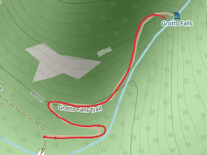
One of the early highlights, just a few miles into the hike, is the Deadline Falls, where you can witness salmon leaping upstream during the migration season. As you progress, you'll encounter the awe-inspiring Toketee Falls, approximately 16 kilometers (10 miles) from the trailhead. This two-tiered waterfall is a sight to behold, with basalt columns framing the cascading water.
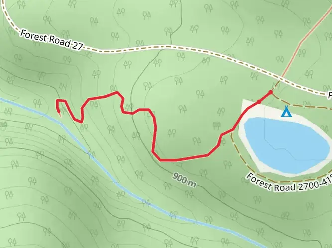
Further along, at about the halfway mark, hikers reach the Umpqua Hot Springs, a series of natural geothermal pools with stunning views of the river below. It's an ideal spot to rest and rejuvenate before continuing the journey.
Flora and Fauna
The trail is home to a diverse range of wildlife, including black bears, deer, and elk. Birdwatchers will delight in the opportunity to spot species such as the American dipper and the northern spotted owl. The rich biodiversity of the area is also evident in the variety of plant life, from wildflowers to ferns, which provide a vibrant display, especially in the spring and summer months.
Historical Significance
The North Umpqua Trail runs through a region steeped in history. The area was originally inhabited by the Umpqua Tribe, and later became a part of the Oregon Trail, witnessing the westward expansion of settlers. The trail itself was developed in the 1970s and has since become a renowned destination for hikers and mountain bikers.
Navigation and Preparation
Hikers should prepare for the trail's difficulty by packing adequate supplies, including water, food, and first-aid essentials. The use of a navigation tool like HiiKER can help in planning the hike, as it provides detailed maps and information on the trail's topography. Given the trail's length and remote nature, it's advisable to inform someone of your itinerary and expected return time.
Weather and Safety
The weather in this region can be unpredictable, with the potential for sudden rainstorms, so waterproof gear is essential. Additionally, the trail can be narrow and rugged in places, with steep drop-offs next to the river. Hikers should be cautious, especially in wet conditions, to avoid slips and falls.
By preparing adequately and respecting the natural environment, hikers can fully enjoy the splendor and challenge of the North Umpqua Trail, a gem in the heart of Oregon's wilderness.

What to expect?
Activity types
Comments and Reviews
User comments, reviews and discussions about the North Umpqua Trail, Oregon.
4.36
average rating out of 5
11 rating(s)