Download
Preview
Add to list
More
6.6 km
~1 hrs 34 min
151 m
Out and Back
“Middle Fork Tumalo Creek Trail offers moderate challenges, lush forests, serene creeks, and rich history for hikers.”
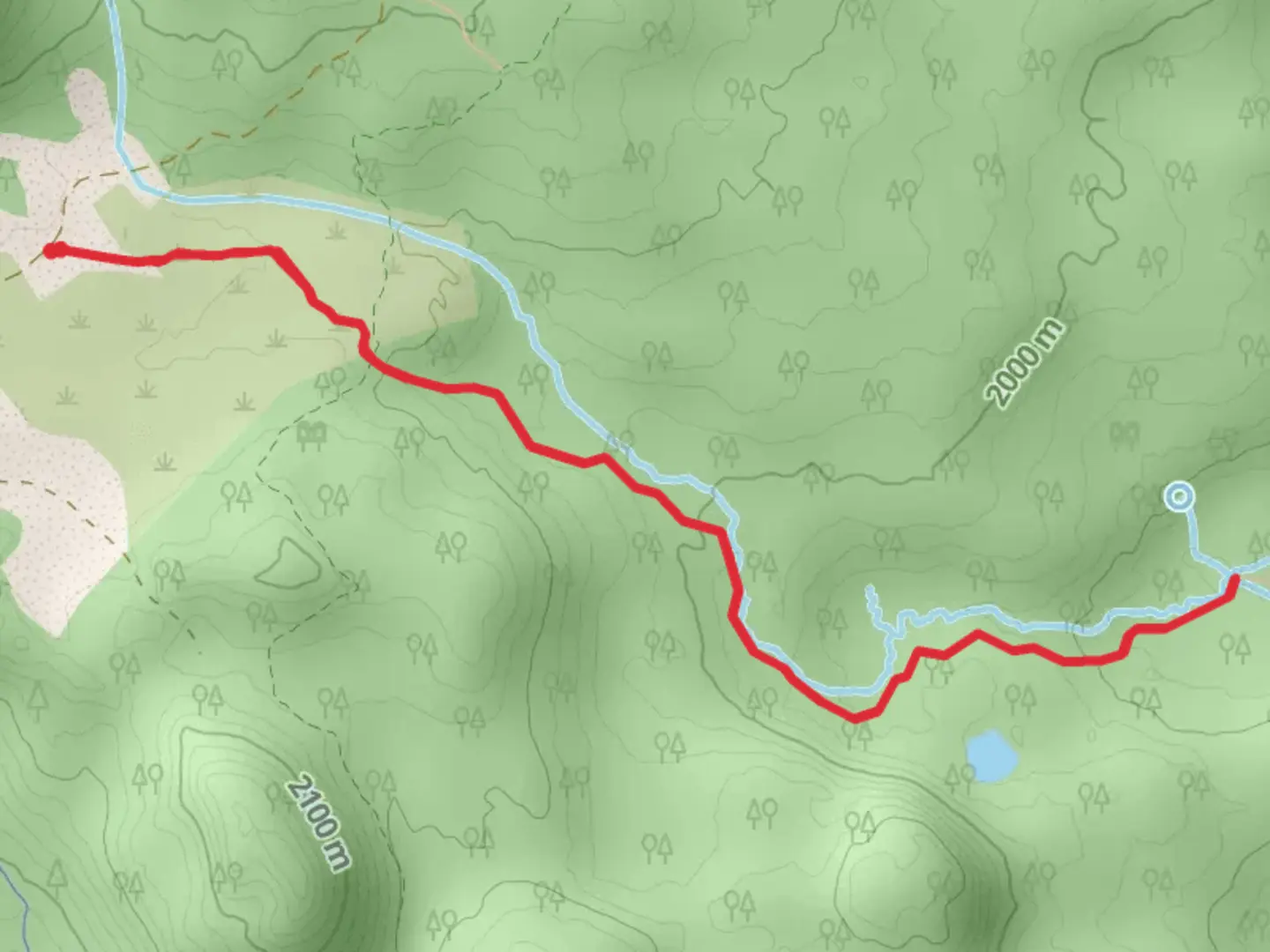
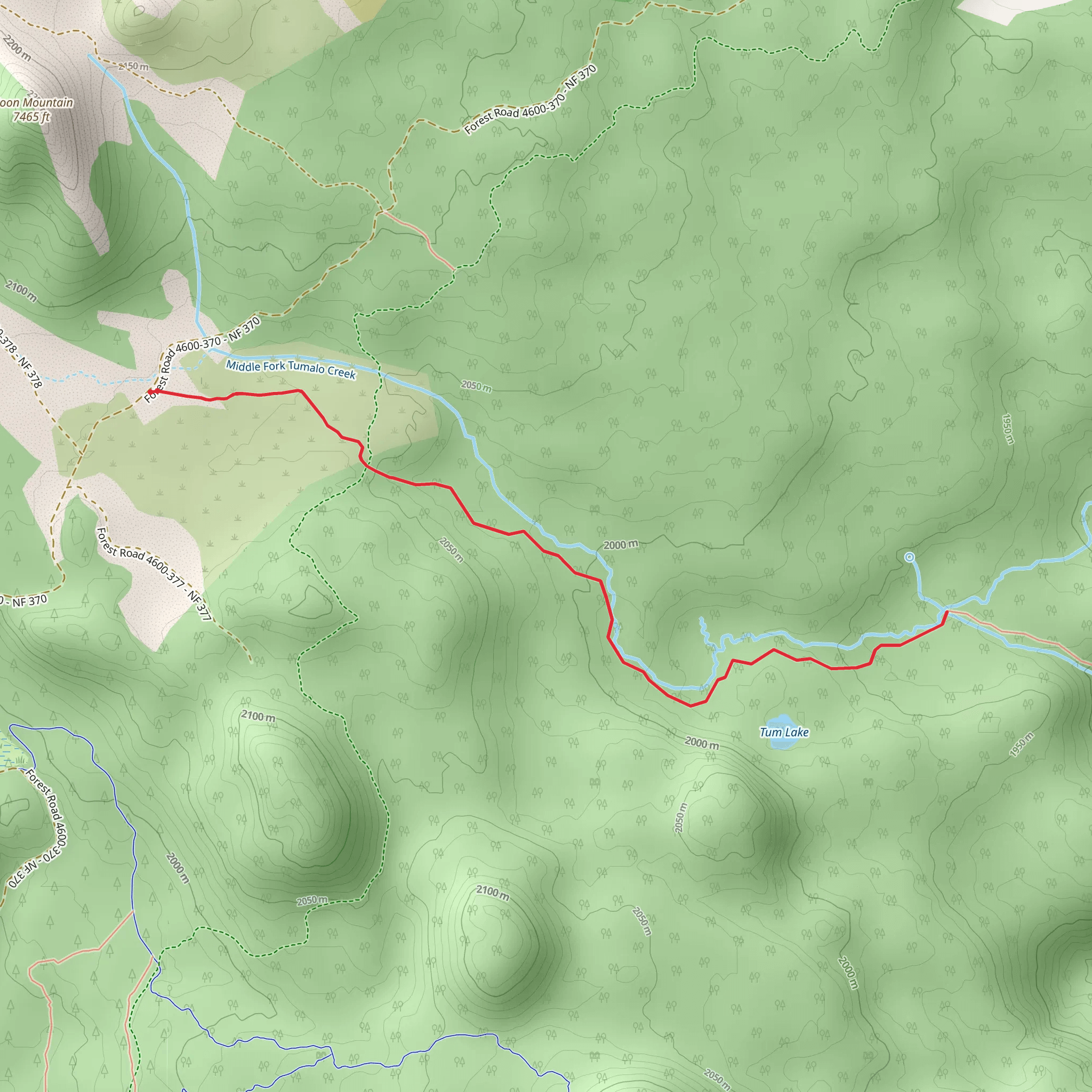
Starting your hike near Deschutes County, Oregon, the Middle Fork Tumalo Creek via Bridge Creek Trail offers a rewarding out-and-back experience. The trail spans approximately 7 kilometers (around 4.3 miles) with an elevation gain of about 100 meters (328 feet), making it a moderately challenging hike suitable for most outdoor enthusiasts.
Getting There To reach the trailhead, you can drive or use public transport. If driving, head towards Skyliners Road, Bend, OR 97703. From Bend, it's a short drive westward. Public transport options are limited, so driving is the most convenient way to access the trailhead.
Trail Overview The trail begins with a gentle ascent through a lush forest of ponderosa pines and Douglas firs. The initial section is relatively easy, allowing you to acclimate to the surroundings. As you progress, the trail becomes steeper, but the elevation gain is gradual and manageable.
Key Landmarks and Points of Interest - **Bridge Creek**: At approximately 1.5 kilometers (0.9 miles) into the hike, you'll encounter Bridge Creek. This is a great spot to take a short break and enjoy the serene sounds of flowing water. The creek is also a habitat for various species of fish, so keep an eye out for them. - **Middle Fork Tumalo Creek**: Around the 3.5-kilometer (2.2-mile) mark, you'll reach the Middle Fork Tumalo Creek. This is the turnaround point for the out-and-back trail. The creek is a picturesque location, perfect for photos and a well-deserved rest.
Flora and Fauna The trail is rich in biodiversity. You might spot deer, squirrels, and a variety of bird species such as woodpeckers and jays. The flora includes wildflowers in the spring and summer, adding vibrant colors to your hike.
Historical Significance The area around Tumalo Creek has a rich history tied to the early logging industry in Oregon. Remnants of old logging equipment and cabins can occasionally be seen off the main trail, offering a glimpse into the past.
Navigation For navigation, it's highly recommended to use the HiiKER app. The trail is well-marked, but having a reliable navigation tool ensures you stay on track and can explore any interesting offshoots without getting lost.
Final Stretch The return journey follows the same path, allowing you to enjoy the scenery from a different perspective. The descent is easier on the legs, making for a pleasant end to your hike.
This trail offers a perfect blend of natural beauty, moderate physical challenge, and historical intrigue, making it a must-visit for hikers in the Deschutes County area.
What to expect?
Activity types
Comments and Reviews
User comments, reviews and discussions about the Middle Fork Tumalo Creek via Bridge Creek Trail, Oregon.
4.5
average rating out of 5
10 rating(s)
