Download
Preview
Add to list
More
44.2 km
~3 days
1909 m
Multi-Day
“Embark on the Bull of The Woods Loop, a historic and rigorous trek through Oregon's captivating wilderness.”
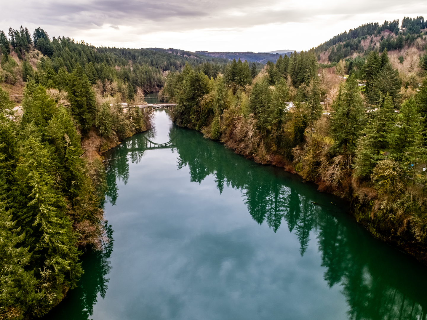
Nestled in the heart of the Oregon Cascades, the Bull of The Woods Loop offers an immersive wilderness experience, spanning approximately 44 kilometers (27 miles) with an elevation gain of around 1900 meters (6234 feet). This challenging loop trail is a true test of endurance and skill, making it suitable for experienced hikers seeking a demanding adventure.Getting to the Trailhead The trailhead is accessible near Clackamas County, Oregon. For those driving, the most common route is to take Highway 224 from Estacada, turning onto Forest Road 46, and then onto Forest Road 63. Follow the signs for the Bull of The Woods Wilderness until you reach the trailhead parking area. Public transport options are limited in this region, so a personal vehicle or car rental is recommended for reaching the starting point.Navigating the Trail As you embark on the Bull of The Woods Loop, it's essential to have a reliable navigation tool like HiiKER to keep you on track. The trail is well-marked in most sections, but due to its length and complexity, having a digital map can be invaluable, especially in areas where the trail may become less distinct.Landmarks and Natural Features The loop takes you through a diverse landscape, featuring old-growth forests, alpine meadows, and stunning mountain vistas. Early in the hike, you'll encounter the Pansy Basin, a serene meadow that's a perfect spot for a brief rest. Approximately 11 kilometers (7 miles) in, you'll reach the Bull of The Woods Lookout, an old fire lookout that offers panoramic views of the surrounding peaks, including Mount Hood and Mount Jefferson.As you continue, the trail descends into the Welcome Lakes area, where you can find a series of tranquil alpine lakes nestled among the trees. This section of the trail is particularly lush, with opportunities to spot local wildlife such as deer, elk, and a variety of bird species.Historical Significance The Bull of The Woods Wilderness is steeped in history, with the trail itself passing through areas that were once bustling with mining activity in the late 1800s and early 1900s. The Bull of The Woods Mine, which the area is named after, is a reminder of the region's past, although it's now reclaimed by nature.Trail Conditions and Preparation Given the trail's difficulty rating and the significant elevation gain, it's crucial to be well-prepared. Ensure you have sturdy hiking boots, plenty of water, and high-energy food supplies. Weather conditions can change rapidly in the mountains, so pack layers of clothing and be prepared for rain or cooler temperatures, especially at higher elevations.Safety and Etiquette Always practice Leave No Trace principles to preserve the wilderness for future hikers. Be mindful of your surroundings, as the area is home to black bears and cougars, although encounters are rare. Carry bear spray as a precaution and know how to store food properly overnight.In conclusion, the Bull of The Woods Loop is a rewarding trek for those who are up for the challenge. With its rich history, diverse ecosystems, and breathtaking views, it's a hike that offers more than just a physical test—it's an opportunity to connect deeply with the natural beauty of the Oregon Cascades.

What to expect?
Activity types
Comments and Reviews
User comments, reviews and discussions about the Bull of The Woods Loop, Oregon.
4.63
average rating out of 5
8 rating(s)