Download
3D Flyover
Add to list
More
57.8 km
~3 days
1748 m
Multi-Day
“Embark on the Shawnee Backpack Trail for a historic, biodiverse trek through Ohio's majestic, untamed wilderness.”
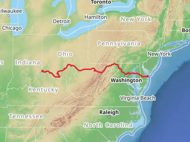
The Shawnee Backpack Trail, winding through the rugged forested landscape of Southern Ohio, offers a challenging yet rewarding experience for seasoned hikers. Spanning approximately 58 kilometers (36 miles) with an elevation gain of about 1700 meters (5577 feet), this point-to-point trail is not for the faint of heart. Starting near Scioto County, Ohio, the trailhead can be accessed by driving to the Shawnee State Park, which is well-marked and offers ample parking for those arriving by car.
Getting to the Trailhead
For those relying on public transportation, options may be limited, but regional bus services can get you close to the area, after which a taxi or ride-sharing service can complete the journey to the park. Once at Shawnee State Park, the trailhead is located near the park office, which is a good place to check in and gather any last-minute information before embarking on your hike.
Navigating the Trail
The Shawnee Backpack Trail is marked with blue blazes that guide hikers through dense hardwood forests, across streams, and along ridges with sweeping views. Hikers can rely on the HiiKER app for detailed maps and navigation assistance, ensuring they stay on the correct path throughout their journey.
Landmarks and Scenery
As you traverse the trail, you'll encounter a variety of landscapes, including steep climbs, descents, and ridge-top walks that offer panoramic views of the surrounding wilderness. Notable landmarks along the route include the lookout points from the Shawnee fire tower and Table Rock, where hikers can take in the vast expanse of the Appalachian foothills.
Flora and Fauna
The area is rich in biodiversity, with a chance to see white-tailed deer, wild turkeys, and a variety of bird species. The trail also winds through areas of lush rhododendron and hemlock groves, particularly enchanting in the spring and early summer when the flowers are in bloom.
Historical Significance
The region holds historical significance as part of the once vast Shawnee tribe's territory. Hikers walking these paths tread ground that has been shaped by centuries of indigenous history, early settlers, and the resource extraction industries that once dominated the landscape.
Preparation and Planning
Given the trail's difficulty rating, hikers should be well-prepared with proper gear, including sturdy hiking boots, a map and compass (or the HiiKER app), and enough food and water for the duration of the hike. There are several campsites along the trail for those looking to break the journey into segments, allowing for rest and an opportunity to fully immerse oneself in the natural beauty of the area.
Weather and Safety
Weather in this region can be unpredictable, so it's important to check the forecast and prepare for a range of conditions. Safety should be a top priority, with hikers informing someone of their plans and expected return, as well as being aware of the potential for wildlife encounters.
Access and Regulations
The trail is managed by the Ohio Department of Natural Resources, and hikers should familiarize themselves with any regulations, including permits for overnight camping. It's also important to practice Leave No Trace principles to preserve the trail and its surroundings for future visitors.
By preparing adequately and respecting the natural environment, hikers can look forward to a memorable adventure on the Shawnee Backpack Trail, steeped in natural beauty and historical significance.

What to expect?
Activity types
Comments and Reviews
User comments, reviews and discussions about the Shawnee Backpack Trail, Ohio.
4.38
average rating out of 5
8 rating(s)