Download
3D Preview
Add to list
More
46.7 km
~2 days
34 m
Multi-Day
“Embark on a serene journey through Ohio's heartland on the accessible, history-rich Prairie Grass Trail.”
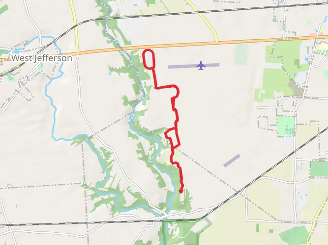
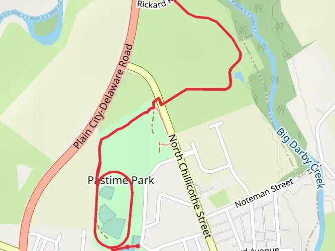
The Prairie Grass Trail stretches approximately 47 kilometers (about 29 miles) through the serene landscapes of Ohio, offering a flat and easy hike that is accessible to enthusiasts of all skill levels. With virtually no elevation gain, this trail is a converted rail-trail, which means it's particularly well-suited for long-distance cyclists and families looking for a leisurely walk or ride.
Getting to the Trailhead
To begin your journey on the Prairie Grass Trail, head to the trailhead near Madison County, Ohio. If you're driving, you can reach the starting point by navigating to London, Ohio, where parking is available near the trailhead. For those preferring public transport, check local schedules for buses that service the area, as options may vary.
Trail Experience
As you embark on the Prairie Grass Trail, expect to traverse through a corridor flanked by tall prairie grasses, wildflowers, and a variety of shrubs. The trail is well-maintained with a smooth asphalt surface, making it a breeze for hikers, cyclists, and even rollerbladers.
Approximately 10 miles into the hike, you'll come across the charming town of South Charleston. This is a perfect spot to take a break, grab a snack, or explore the local shops. The town also offers a glimpse into the region's history, with several buildings dating back to the early 19th century.
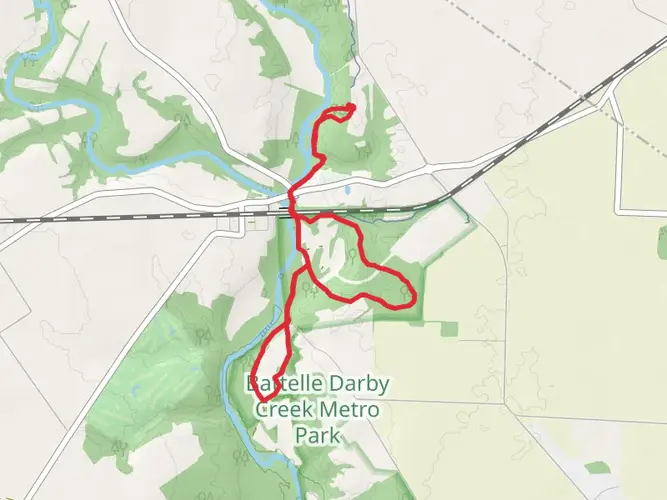
Continuing on, the trail provides an immersive experience into Ohio's rural heartland. You'll likely encounter local wildlife, including white-tailed deer, rabbits, and a variety of bird species. The open sky above is a canvas for spectacular sunrises and sunsets, so consider timing your hike to catch one of these breathtaking views.
Historical Significance
The Prairie Grass Trail runs along the former Pennsylvania Railroad line, which played a significant role in the development of the region's economy. As you walk, you're retracing the paths of historic locomotives that once transported goods and passengers across the state. The trail itself is a testament to the conservation efforts to repurpose old infrastructures for recreational use.
Navigation and Preparation
Before setting out, it's wise to download the HiiKER app to access detailed maps and navigation tools that will enhance your experience on the Prairie Grass Trail. Remember to pack plenty of water, sunscreen, and a hat, as the open trail offers limited shade. Also, be sure to check the weather forecast and dress appropriately, as conditions can change.
Accessibility and Amenities
The trail is accessible year-round and is equipped with several amenities, including benches and rest stops. Restrooms are available at select points along the route, and the trail is wheelchair accessible, ensuring that everyone can enjoy the beauty of the Prairie Grass Trail.
Whether you're looking for a peaceful hike, a scenic bike ride, or a family outing, the Prairie Grass Trail offers a slice of Ohio's natural beauty and a gentle adventure into the state's prairie heartland.

What to expect?
Activity types
Comments and Reviews
User comments, reviews and discussions about the Prairie Grass Trail, Ohio.
4.71
average rating out of 5
7 rating(s)